
Unbiased headlines. Facts, not spin.
Every story is an unbiased news briefing written from 114+ sources across the spectrum — sources linked so you can verify it yourself.
 health
Major Story (8/10)
October 8, 2026 at 11:07 AM
health
Major Story (8/10)
October 8, 2026 at 11:07 AM
Isaias Becomes Atlantic's First Hurricane of 2026 With 80 mph Winds, Gulf Coast Landfall Expected Friday Night
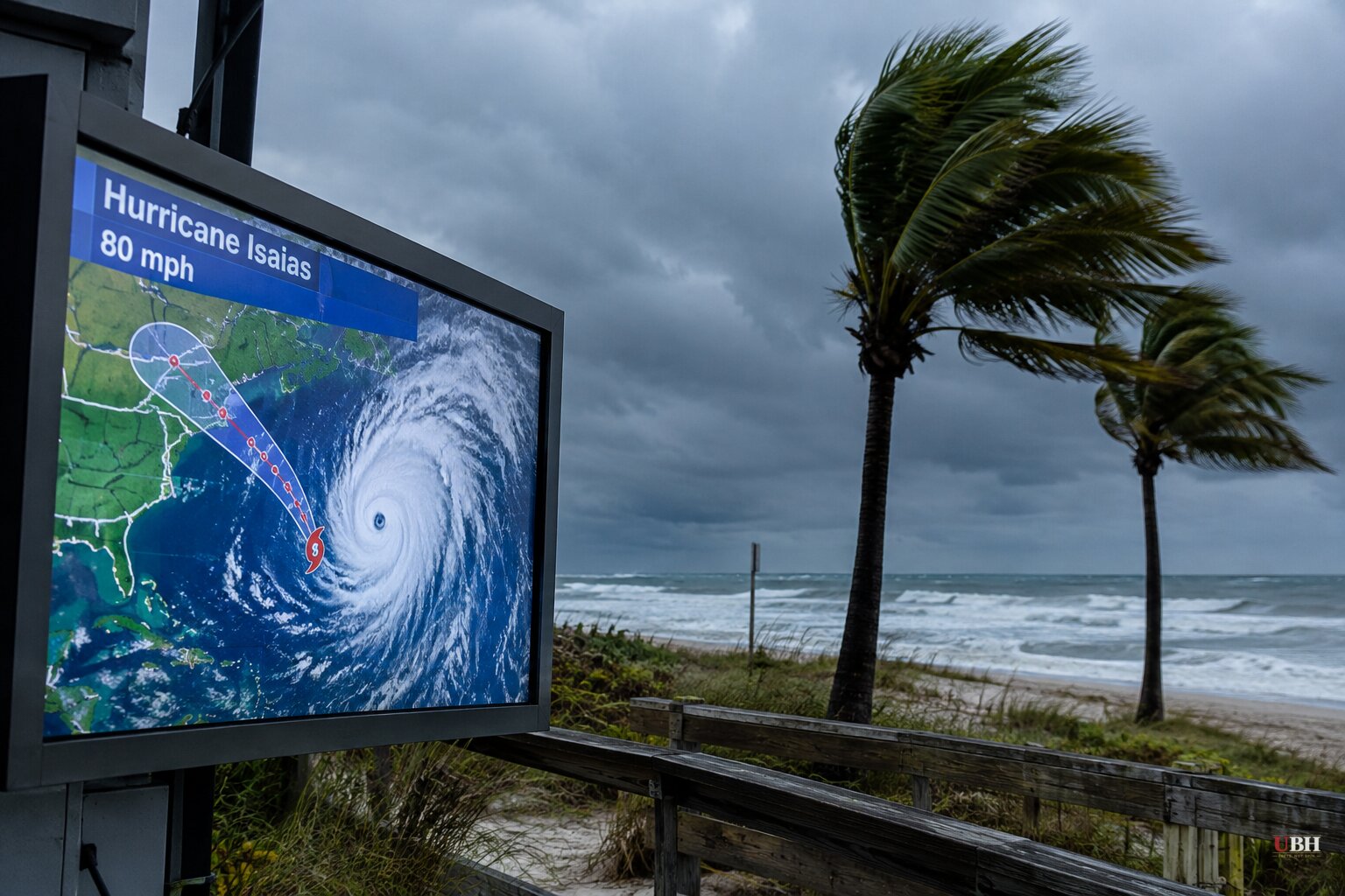
Since forecasters began tracking the system earlier this week, Isaias has been named a tropical storm and then, late Wednesday, upgraded to a hurricane. At its 4 a.m. CDT Thursday advisory, the National Hurricane Center put maximum sustained winds at 80 mph with a minimum central pressure of 979 millibars.
The center was about 420 miles south-southwest of the mouth of the Mississippi River. It was moving east-northeast at 9 mph. The hurricane center said NOAA Hurricane Hunter aircraft found that Isaias "continues to intensify."
A late-season first
Isaias is the first hurricane of the 2026 Atlantic season. It reached hurricane strength on Oct. 7, one day short of the latest first-hurricane date on record. That record is Oct. 8, 1905, according to NOAA data.
The season has been unusually quiet. NOAA and Associated Press reporting attribute that to a strong El Niño, which suppresses Atlantic storm formation. The Pacific has been busy, and Tropical Storm Simon formed off Mexico on Wednesday.
The typical Atlantic season produces 14 named storms and seven hurricanes, per the hurricane center's 1991-2020 averages. The first hurricane normally arrives in early to mid-August.
Warnings and expected impacts
A hurricane warning covers Ocean Springs, Mississippi, to the Bay/Gulf County line in Florida, including the Alabama coast. A storm surge warning runs from the mouth of the Mississippi River to the Steinhatchee River in Florida. Tropical storm warnings cover southeastern Louisiana and the Florida coast east of Bay/Gulf County to the Aucilla River.
The hurricane center forecasts storm surge of 5 to 7 feet above ground from Ocean Springs to Indian Pass, Florida, including Mobile Bay. From Indian Pass to the Steinhatchee River, it expects 4 to 6 feet. From the mouth of the Mississippi to Ocean Springs, it expects 3 to 5 feet. The agency calls the surge life-threatening.
Rainfall of 3 to 7 inches is forecast along the coast, with isolated totals up to 10 inches, from southeastern Louisiana to the Florida Panhandle. Inland areas as far as Tennessee and the western Carolinas could see 1 to 3 inches. The Washington Post's forecast also points to tornado risk along the northern Gulf Coast, with impacts reaching well inland by Sunday.
"We're expecting multiple dangerous, life-threatening impacts along portions of the northern Gulf Coast beginning Friday and continuing into the weekend," said Michael Brennan, director of the National Hurricane Center, in a Wednesday video briefing.
How strong is still open
Forecasters do not agree on the peak. CNN's forecast has Isaias peaking as a Category 2 with winds near 110 mph by early Friday, then weakening slightly before landfall. AccuWeather expects a strong Category 2 at landfall. Brennan said Wednesday the storm could become a major Category 3, with winds of 111 mph or more, before reaching land.
The hurricane center said Thursday that Isaias "should remain a strong hurricane" as it nears the coast Friday night. CNN also reports the storm is expected to turn sharply toward the northern Gulf Coast after another day of east-northeast movement. Rapid intensification is defined as a wind gain of at least 35 mph in 24 hours or less.
Evacuations and emergency declarations
Florida Gov. Ron DeSantis declared a state of emergency for 25 counties on Tuesday. Alabama Gov. Kay Ivey declared one for 40 counties. Florida emergency teams are staging generators, fuel, food, water and flood barriers in the Tallahassee and Santa Rosa areas.
In Okaloosa County, Florida, mandatory evacuations begin at noon Thursday for Okaloosa Island, coastal portions of Fort Walton Beach, Destin and Mary Esther, and Niceville. Officials asked out-of-town visitors to leave by Wednesday evening. Gulf County ordered RVs out of three parks and campgrounds over flood risk.
In Alabama, evacuations are voluntary so far. Gulf Shores and Orange Beach residents have been encouraged to leave. Dauphin Island's voluntary order starts Thursday evening for roughly 350 to 400 homes on the island's low west end, Public Safety Supervisor Troy Gorlott said. An Alabama beach city has also canceled a weekend festival that normally draws thousands of tourists.
Oil and a football game
Oil and gas producers have shut in a significant share of offshore output. The Gulf accounts for almost 15% of annual U.S. crude production. As of Wednesday, about 25% of regional oil production was halted, or roughly 511,000 barrels a day, according to the Marine Minerals Administration. Eight of the Gulf's 371 manned platforms had been evacuated.
Oil prices were already high. Analyst Jim Burkhard said the cuts are large enough to affect markets, though other Gulf hurricanes have caused bigger disruptions.
The storm could also affect Saturday's Georgia-Alabama college football game, which President Donald Trump has planned to attend. No change to the game or the president's plans has been announced.
What comes next
The hurricane center said preparations in the warning area "should be rushed to completion today." The next advisories will show whether Isaias levels off as a Category 2 or reaches the Category 3 strength Brennan flagged as possible. The Okaloosa County evacuation clock starts at noon.
Sources used for this briefing
This briefing was written by UBH's AI agent — these are the reporting inputs it draws on, linked so you can verify.


