
Unbiased headlines. Facts, not spin.
Unbiased Headlines is an independently owned news organization. We bring you the facts, not opinions, written fresh from 110+ named sources. Sources linked so you can verify it yourself.
 energy
Notable (6/10)
Event date: October 17, 2026 ·
energy
Notable (6/10)
Event date: October 17, 2026 ·
Strengthening El Niño Could Raise Northern U.S. Wildfire Risk and Lower It in the South, NOAA Research Finds
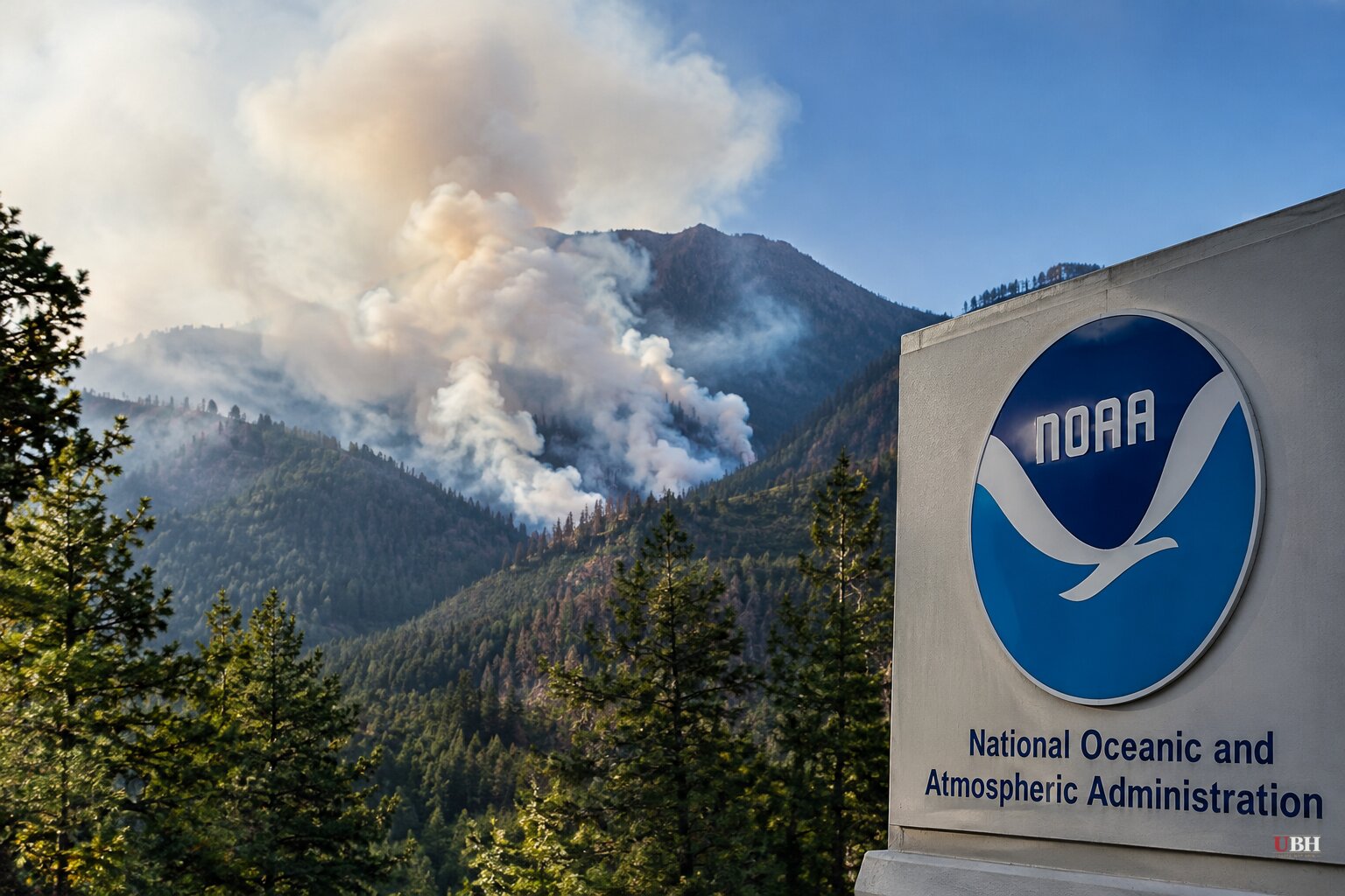
Since NOAA released its winter outlook on Thursday, Oct. 15, which says warmer-than-normal temperatures are possible over more than half of the Lower 48, the question has moved from the national map to the local one: who gets soaked, who gets dried out, and who burns.
The answer depends on where you live.
The fire line runs north of the storm track
The National Interagency Fire Center says El Niño has developed and is strengthening. Central Pacific sea surface temperatures are approaching 1.5 degrees Celsius above average, the threshold for a strong event.
The Climate Prediction Center puts the chance of a "very strong" El Niño this fall and winter, 2026-27, at greater than 90 percent.
Research published this year by NOAA and the Cooperative Institute for Research in Environmental Sciences found that an autumn El Niño can increase wildfire risk in some regions into next spring and summer. It reduces risk in others. The result could be a dividing line, with more fire danger in parts of the northern U.S. and less to the south.
The mechanism is straightforward. During El Niño, Pacific trade winds weaken and warm surface water spreads east across the central and eastern tropical Pacific. That shifts the jet stream. Winter tilts wetter and cooler across much of the South and warmer and drier across parts of the North.
Precipitation decides how wet vegetation gets. Heat and dry air decide how fast it dries out.
NOAA research meteorologist Andrew Hoell said El Niño and La Niña give forecasters "a powerful tool for predicting the likelihood of extensive wildfire activity in several U.S. regions up to a year out." He called that information "crucial for wildfire managers as they prepare."
The West is not a single story
Not everyone reads the fire picture the same way. UCLA hydroclimatologist Park Williams said U.S. wildfire activity is generally lower in El Niño years, mainly because the West sees fewer forest fires.
"El Niño generally causes winter and spring to be wet across the Southern U.S., including the Southwest U.S., and then summers are generally cooler and more humid than average across most of the Western U.S.," Williams said.
That is the national average. The NOAA-CIRES work is about regional exceptions, and the northern tier is where it points to elevated risk.
Storms: wet South, wetter coasts
NOAA's outlook expects much of the country to be milder and wetter than average, with El Niño likely to peak in intensity in December. The outlook leaves open that it will not necessarily be less snowy than usual.
The typical pattern aims the jet stream at the southern tier. Northern states turn drier and milder, and inland Northeasterners usually see less snow in strong El Niño winters.
NOAA meteorologist Jon Gottschalck said some southern storms could turn northeast along the East Coast. Depending on the availability of cold air, they could bring heavy rain and snow to Mid-Atlantic and Northeast cities. "These storms could be very strong," he said.
El Niño is not the only driver. The polar vortex will also shape how much cold air and snow arrives, especially along the northern tier.
California: a firehose or a miss
California gets most of its rain in a few winter months. Climate scientist Daniel Swain, who writes the Weather West blog, said a small shift in the storm track can steer rain away and bring drought, or aim it like a firehose at the state.
Some past El Niño events have brought south and central California close to double their annual rainfall. "It is entirely possible that parts of California see close to, or even in excess of, double their average seasonal precipitation as a result of this event," Swain said.
He also warned of coastal flooding and erosion if stronger storms coincide with big waves and king tides. Swain named San Francisco Bay, San Diego Bay and the Sacramento-San Joaquin Delta as populated areas at risk. He said "millions of people" live within several feet of sea level in northern and southern California.
Hawaii has already taken hits
Swain pointed to Hawaii as an early sign. "There have now been two major hurricane events in Hawaii this summer, in a place where ordinarily we go a decade with none," he said.
In August, Hurricane Lala became the first hurricane to make a direct hit on the Big Island since 1871. Weeks later, Hurricane Lowell, a Category 2 storm, caused significant damage on Kauai.
UN Secretary-General António Guterres has described the world as entering a "danger zone of extreme weather" as the event takes hold. Effects are already showing up abroad, from wildfires in Indonesia to heavy rain in Peru.
What is still unsettled
These are shifted odds, not guarantees. No two strong El Niño winters look alike, and NOAA itself says other climate factors can override the typical pattern.
The first real test arrives when El Niño peaks in December. Whether the northern fire signal in NOAA and CIRES research shows up next spring and summer will not be known until those seasons play out.
Sources used for this briefing
3 links from 3 independent newsrooms (syndicated copies of the same report count once)
These are the sources it draws on, linked so you can verify.


