
Unbiased headlines. Facts, not spin.
Unbiased Headlines is an independently owned news organization. We bring you the facts, not opinions, written fresh from 110+ named sources. Sources linked so you can verify it yourself.
 energy
Notable (6/10)
Event date: October 15, 2026 ·
energy
Notable (6/10)
Event date: October 15, 2026 ·
NOAA Adds 'Particularly Dangerous Situation' Wording to Winter Warnings as El Niño Outlook Draws Spring Planting Concerns
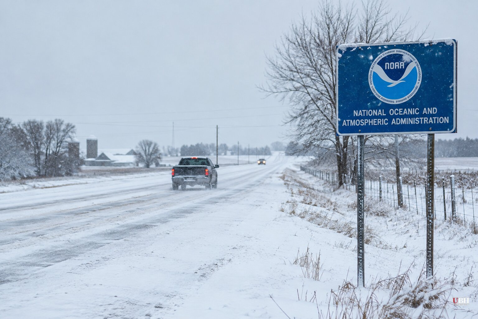
Since NOAA released its 2026-27 winter outlook on Thursday, Oct. 15, the fine print has turned out to matter more than the headline: a change in how the National Weather Service words its worst warnings, a wet Gulf Coast, and a spring planting question for farmers.
A new label for the worst storms
This season the National Weather Service will put "Particularly Dangerous Situation" wording in some Blizzard Warnings and Ice Storm Warnings. The language is meant to flag high-confidence blizzards or ice storms of historic severity.
NOAA says such events typically pose exceptional threats, including imminent danger to life and unprecedented disruption to emergency services. The agency also says it upgraded many of its winter weather products for the season.
The wording is a warning-level tool, not a seasonal forecast. It is a separate change from the outlook's temperature and precipitation odds.
What the outlook does and does not say
NOAA's outlook covers December 2026 through February 2027. It favors warmer-than-average temperatures across the northern U.S. and wetter-than-average conditions from California to Florida and along the Eastern Seaboard. It also expects drought to improve across most of the country.
The outlook does not project snowfall totals. NOAA says snow generally cannot be predicted more than a week out.
National Weather Service Director Ken Graham said a very strong El Niño "will likely bring a southward and eastward shift to the jet stream," which "tilts the odds toward stormier weather across the South." He added a caution: "too much precipitation on dry soil can fuel destructive flash floods and mudslides."
NOAA Climate Prediction Center data from Oct. 8 put sea surface temperatures in the Niño-3.4 region at 2.1°C above average, with anomalies above 4°C in parts of the eastern equatorial Pacific, according to AgroLatam's account of the agency's update. The CNN account says El Niño is likely to peak in December.
Gulf Coast: wet, not necessarily cold
For Louisiana and Mississippi, NOAA favors a wetter-than-normal winter but near-normal temperatures. New Orleans averages 56.3°F across the three winter months and 14.13 inches of rain.
The jet stream usually sets up near the Gulf Coast in an El Niño winter. That puts the region in line for more storms. WWL-TV's reading of the Climate Prediction Center's three-month outlook points to wetter conditions in November, December and January, with a higher chance of severe weather from a more active jet stream.
Arctic outbreaks are less likely, because the coldest air tends to stay far north in Canada. But the Deep South could still see a wintry mix when cold air lines up with a storm.
Farm country: drought relief, then mud
AgroLatam's analysis of the outlook flags a trade-off for agriculture. More winter moisture could help winter wheat, pasture and irrigation supplies in Texas, Oklahoma, Arkansas, Mississippi and Louisiana. NOAA's drought outlook favors improvement or removal of drought across parts of the Southwest, Southern Plains, Southeast and East Coast.
The same outlet warns that rain lingering into March and April could keep machinery out of fields in the Mississippi Delta and the southern Corn Belt. That could delay tillage, fertilizer application and planting of corn, soybeans and cotton. That is a projection from analysts, not a NOAA finding. NOAA's outlook covers precipitation odds, not field conditions.
Where forecasters disagree on snow
The broad message from the Weather Company's James Belanger is bleak for northern snow lovers. "This is going to be a winter that's really difficult for them to find what they're looking for," he said. AccuWeather expects Chicago, Boston, New York and Philadelphia to get about half or less of their normal snow. Salt Lake City is the only large metro where it expects above-normal snowfall.
NOAA meteorologist Jon Gottschalck offered a counterpoint for the East Coast. Some storms riding the southern tier could turn northeast and bring heavy rain and snow to Mid-Atlantic and Northeast cities, depending on whether cold air is available. "These storms could be very strong," he said. Graham made a similar point: a warmer winter "doesn't erase the risk."
There is also a track-record caveat. Quartz notes that only three winters since 1950 (1982-83, 1997-98 and 2015-16) have earned the "super El Niño" label. "Super El Niño" carries no official NOAA designation, and each of those winters strayed from the expected pattern in some way. Southern California, for example, finished 2015-16 drier than normal.
On the warmth itself, NOAA says the U.S. winter has warmed about 4°F (2.2°C) over the past 50 years, which it attributes predominantly to human-caused climate change.
One El Niño signal already in the books
El Niño typically suppresses Atlantic hurricanes. This year's first hurricane, Isaias, did not reach hurricane strength until late Oct. 7. According to The Weather Channel, that is the latest first hurricane of the satellite era, which dates to 1966.
What comes next
NOAA's Weather Prediction Center updates its three-month outlook monthly. The next update is scheduled for Nov. 19, and it will show whether the wet-South, warm-North pattern is holding as El Niño approaches its expected December peak.
Sources used for this briefing
7 links from 7 independent newsrooms (syndicated copies of the same report count once)
These are the sources it draws on, linked so you can verify.


