
Unbiased headlines. Facts, not spin.
Unbiased Headlines is an independently owned news organization. We bring you the facts, not opinions, written fresh from 110+ named sources. Sources linked so you can verify it yourself.
 energy
Low Interest (4/10)
Event date: November 9, 2026 ·
Forecasters Flag Rain From the Great Lakes to Texas Before Thanksgiving as El Niño Strengthens
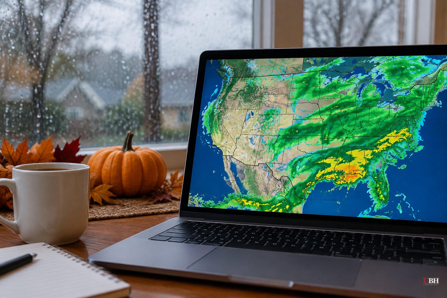
Thanksgiving falls on Thursday, Nov. 26, and the long-range picture for the travel week is taking shape. Every forecast below is a forecast, not a certainty, and track changes can shift the winners and losers.
The Thanksgiving week pattern
Meteorologists at the FOX Forecast Center say an active southern jet stream could send multiple rounds of rain and severe weather across the country. They tie that to El Niño, which is shaping the jet stream heading into winter.
The first system is expected Monday through Wednesday of Thanksgiving week. It could bring rain from the Mississippi and Ohio valleys toward the Great Lakes and the Eastern Seaboard.
On the West Coast, at least one round of rain is forecast for Washington, Oregon and California. The Cascades and Sierra Nevada could see mountain snow.
By Thanksgiving Day, that storm is expected to clear the East Coast. Dry conditions should settle over parts of the Northeast, Great Lakes and Northern Plains.
The system then shifts south. Severe storms could hit Texas, the Gulf Coast and parts of the Southeast.
"Rain chances may increase across these areas during Thanksgiving and the following weekend, potentially extending northward toward the Mid-Atlantic depending on individual storm tracks," the FOX Forecast Center said.
The center also said it is too early to tell whether the drive or flight home will be affected, though the system could organize into significant storms.
Where the airports are exposed
The Weather Channel's November outlook puts the highest risk of weather-driven delays across the Southeast, Florida, the Gulf Coast and Texas. Hubs named include Atlanta, Charlotte, Orlando, Miami, Houston, New Orleans and Dallas-Fort Worth. California airports in Los Angeles, San Francisco, San Diego and San Jose could see elevated risk later in the month.
The Weather Channel rates the Mid-Atlantic, including Philadelphia, Baltimore and the Washington-area airports, as near normal to elevated. It rates Boston, New York, Denver, Phoenix, Las Vegas and Salt Lake City as near normal.
"If you are flying this Thanksgiving, you should already pay close attention to the weather," Weather Channel meteorologist Matt Jones told Newsweek. "El Niño will influence storm frequency across the southern United States which increases the odds of seeing weather-related delays."
The National Weather Service's Climate Prediction Center says El Niño is set to keep intensifying through the rest of the year. It puts the chances high that this becomes the strongest event on record since 1950.
A cold-snap forecast cuts against the usual El Niño script
A strong El Niño typically means wetter conditions in the South and a milder, drier start to winter in the North. The Weather Channel expects much of the country, especially around the Great Lakes, to run warmer than usual in November. That lowers the odds of early-season snow for northern travelers.
Not every forecast agrees. The Hudson Valley Post, citing meteorologists, reports that the polar vortex weakened earlier in November than ever recorded. The outlet says that could send Arctic air south during Thanksgiving week.
Its read of long-range models: temperatures in the low sixties next week, then a strong cold front around Thanksgiving Eve. That would bring rain to the lower Hudson Valley and a possible wintry mix north and west of Interstate 84. Colder air would follow for Thanksgiving Day and Black Friday.
The Old Farmer's Almanac, a long-range outlook rather than a day-by-day forecast, goes colder still. It calls for flurries, snow showers and below-normal temperatures across the Upper Midwest on Nov. 26. That region covers Minnesota, parts of the Dakotas and a chunk of Wisconsin. The Almanac also lists possible snow in Nebraska and the higher Rockies, scattered snow in the Great Lakes states, and a chance of flurries in New England.
The forecasts differ on the North. The FOX Forecast Center expects dry conditions on Thanksgiving Day in the Northeast, Great Lakes and Northern Plains. The Hudson Valley and Almanac outlooks lean colder and snowier.
California's runway question
A separate report warns that record tides and a strong El Niño could create flooding risks at California airports this holiday season. San Francisco International Airport is built on marshland and is vulnerable to flooding of 3 feet or more, the report says. Takeoffs are not recommended when standing water on a runway exceeds 0.5 inches. Recent levee work has reduced the risk at Oakland International.
Fraser Shilling, director of the University of California-Davis Road Ecology Center, told KGO the flooding is not certain, because "it's all about timing." He called recent tides "a trailer."
San Francisco Chronicle meteorologist Anthony Edwards said San Francisco passed its previous October high-tide record at 2.01 feet. San Diego and Los Angeles recorded their highest coastal water levels in over a century.
SFO says it is prepared. Spokesman Doug Yakel told The Independent the airport has vinyl sheet pile walls, concrete seawalls and concrete-capped earthen berms. Staff are also clearing drainage areas, checking pump stations, clearing trees that could cause power outages and preparing sandbags.
Shilling countered that it was "clear from their description that none of those things are long-term protection." Yakel did not address that comment. SFO handled more than 1.8 million travelers last Thanksgiving.
What comes next
The storm tracks are the open question. The FOX Forecast Center said it is too early to tell whether bad weather will affect people traveling home after the holiday, and that the system could organize into significant storms. Whether the Gulf Coast and Southeast storms will reach the Mid-Atlantic over the following weekend depends on individual storm tracks. The FOX Forecast Center says it will continue to monitor and update the expected conditions leading up to the holiday weekend.
Sources used for this briefing
7 links from 7 independent newsrooms (syndicated copies of the same report count once)
These are the sources it draws on, linked so you can verify.