
Unbiased headlines. Facts, not spin.
Unbiased Headlines is an independently owned news organization. We bring you the facts, not opinions, written fresh from 110+ named sources. Sources linked so you can verify it yourself.
 energy
Major Story (7/10)
Event date: November 13, 2026 ·
Record Marine Heat Wave Off California Pushes Sea Levels to All-Time Highs Ahead of Thanksgiving King Tides
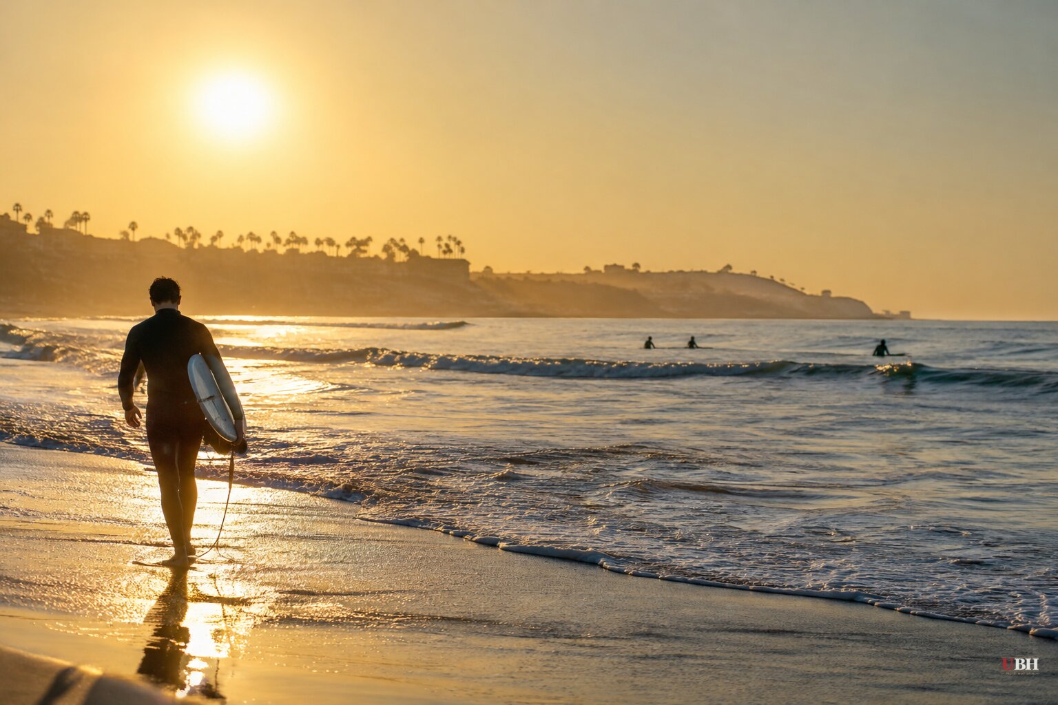
California's coastal ocean is hotter than it has ever been this late in the year, and the physical effects are already on the shoreline.
Water temperatures along the coast from Sonoma County south to Ensenada, Mexico, are about 10°F above average, according to UC climate scientist Daniel Swain. He described the heat wave in a webinar this month as "mind-boggling" and "record-shattering."
"Not only is the water warmer than it's ever been at this time of year, but in fact it is warmer than it has ever been at any point after Nov. 1 and before May in any previous year," Swain said.
Records on the surface and below it
On the Saturday of Halloween weekend, the sea surface temperature at Scripps Pier in La Jolla was 75.4°F. That is 11.1°F above the historical average for Halloween and a record for the date in data going back to 1916. It also beat the highest average temperature for the entire year, around 70°F.
The heat goes deep. Daniel Rudnick, an oceanographer at the Scripps Institution of Oceanography, pilots underwater gliders that dive thousands of feet. He had to recolor his temperature-anomaly charts because the reds were not intense enough to show the readings.
A station in Monterey Bay logged 64.72°F at 200 feet down in late October, a record. Off San Diego, water at the same depth read 77°F, which is 21.3°F above normal.
"I looked back at our data to make sure that I'm not making a mistake and it's correct, and it is," Rudnick said. Heat-driven sea level rise, which scientists call steric height, has reached the highest levels he has seen in 20 years of collecting data from below the ocean's surface.
Where the heat comes from
The immediate driver is a super El Niño. NOAA's Michelle L'Heureux, who leads the agency's El Niño forecasting team, called subsurface temperatures in the tropical Pacific "pretty extraordinary." That water is up to 18°F above average.
The event came on fast. The National Weather Service's Lindsey Long said the Pacific was still in La Niña conditions at the start of 2026. By July, monthly sea surface temperatures were second only to the 1997-98 super El Niño.
California was already hot before El Niño arrived. A marine heat wave has persisted along the coast since January 2025, with some spots running 8°F above average in August. Waters off Southern California have also warmed 1.8°F since the 1970s.
Swain's Weather West analysis calls the current event the product of "multiple natural and human-caused factors stacking atop each other." He says future attribution studies will have to quantify how much each factor contributed.
Flooding already happened
Warm water expands. That raised sea levels along the coast in late October on top of moderately high tides.
For the week ending Oct. 30, average sea level ran 1.4 feet above expected in San Diego, 1.3 feet in Los Angeles and 1.1 feet in San Francisco, according to an analysis of NOAA oceanographer William Sweet's data. All-time maximums fell at Los Angeles, San Diego Bay, Santa Barbara and La Jolla.
The San Pedro gauge hit 8.02 feet on Oct. 26 and 8.19 feet a day later. The old record was 7.93 feet, set Jan. 10, 2005, during another El Niño winter.
In Huntington Beach alone, seawater damaged 114 homes and other structures, mostly in Sunset Beach and Huntington Harbour. Pacific Coast Highway flooded in places, and beachside bars from Redondo Beach to Long Beach took on water.
Swain's blog estimates that about 12 inches of the persistent 12-to-18-inch ocean height anomaly comes from thermal expansion.
What comes next
The heat is not leaving soon. Swain says marine heat waves are more persistent than air heat waves because water takes longer to heat up or cool down than air. Dillon Amaya of North Carolina State University said the ocean is expected to stay warmer than average at least through spring.
King tides are expected during Thanksgiving week, around Christmas and in late January, around Martin Luther King Jr. Day. "The king tides are going to provide a larger trigger for flooding," Amaya said.
Storms are the third piece. The Los Angeles Times reported that how tides, record sea levels and big-wave storms line up will decide how punishing the winter is for the coast. Weather West says the state shifted to a stormy pattern in the second half of November, and that the warm water adds moisture and energy to incoming Pacific storms.
There is a caveat on rainfall. L'Heureux noted that strong El Niños raise the odds of a wetter West Coast winter, but even record intensity "does not guarantee" it.
Wildlife on the line
The last super El Niño, about a decade ago, was followed by declines of up to 90% in California's red abalone populations, according to KQED. Warm water fueled an explosion of purple urchins that stripped the kelp the abalone depend on.
This month, Arella Larose and Dan Swezey of the Kashia Band of Pomo Indians were pulling red abalone off rocks at Sea Ranch in Sonoma County. They are worried the warming ocean could wipe out the species. "We are going to be harvesting 10 abalone," Larose said.
Weather West also reports subtropical marine species showing up in parts of California where they have never been seen, even during earlier strong El Niño events.
The near-term test is the king tide expected during Thanksgiving week. Average sea levels in late October ran 1.1 to 1.4 feet above forecast in San Diego, Los Angeles and San Francisco, so the margin for another round of flooding is thin.
Sources used for this briefing
7 links from 6 independent newsrooms (syndicated copies of the same report count once)
These are the sources it draws on, linked so you can verify.