
Unbiased headlines. Facts, not spin.
Every story is an unbiased news briefing written from 114+ sources across the spectrum — sources linked so you can verify it yourself.
 economy
Notable (6/10)
October 9, 2026 at 03:09 AM
economy
Notable (6/10)
October 9, 2026 at 03:09 AM
NOAA: September 2026 Was the Warmest September on Record for the Lower 48, Beating 1998 by About 0.5°F
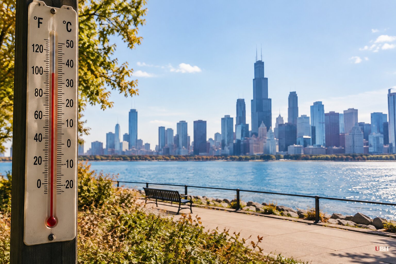
The contiguous U.S. just logged its warmest September since records began in 1895. NOAA's National Centers for Environmental Information put the monthly average at 69.4°F, 4.6°F above the 20th-century average. That tops the previous record of 68.95°F, set in 1998.
The report came out today, Oct. 8.
Where the heat landed
Heat covered much of the interior U.S. and stretched to the East Coast. Large parts of the southern and central Plains and the Mississippi Valley set record-warm September marks, according to NCEI.
Eight states had their warmest September on record: Arkansas, Illinois, Kansas, Louisiana, Missouri, New Mexico, Oklahoma and Texas. For Arkansas, Illinois, Kansas, Missouri and Oklahoma, NCEI said the new marks surpassed records dating to the 1920s or 1930s. Forty-three states ran above average.
Not everywhere. Oregon was the lone state below average, and parts of northern California and the Pacific Northwest also ran cool.
The nights did the damage
The record was driven mainly by exceptionally warm overnight lows, not extreme daytime highs. The national average minimum temperature beat the previous September record, set in 2019, by more than 1.2°F.
Based on county averages, more than 30% of the Lower 48's land area had its warmest September nighttime temperatures on record. NCEI estimates that area is home to about 80 million people.
Hawaiʻi's average minimum temperature was 65.0°F, 3.6°F above average and the warmest September minimum on record there. Hawaiʻi's overall September average, 71.1°F, ranked second-warmest in its 36-year record. Alaska came in at 42.5°F, 1.9°F above its 1925–2000 average, in the warmest third of its 102-year record.
A hot year, with a title still in play
January through September was the hottest first nine months of any year in the U.S. on record. Four months this year have set records: March, July, August and September. The Lower 48 has now run above average for 20 straight months, a streak that began in February 2025.
The U.S. also had its hottest summer on record in 2026, according to Fox Weather's tally.
The record for the hottest full year stands at 55.48°F, set in 2024. Climatologist Zeke Hausfather has said that if September through December averages around 50.5°F, a warm but not unusual outcome for recent years, the U.S. is likely to break it. October, November and December will settle the question.
Climate Central scientist Zachary Labe has said that whether 2026 ranks first or third "doesn't distract from the bigger story that temperatures are rising across the country and leading to major impacts for communities."
Rain and drought
Precipitation averaged 2.69 inches across the Lower 48, 0.20 inch above the 20th-century average and in the wettest third of the record. The split was sharp. Above-average rain fell across the northern tier, while much of the South, the middle Mississippi Valley and the Southeast ran dry.
The Southwest got more than twice its average September rain. Arizona received 2.97 inches, 251.7% of average, its wettest September since 1983. New Mexico received more than 5 inches, 303.6% of average, its second-wettest September and its wettest since 1941.
Hawaiʻi took 10.83 inches, 6.42 inches above average, its wettest September since 2015. Fairbanks, Alaska, had its wettest September since 1925.
The latest U.S. Drought Monitor, also released today, shows about 55% of the contiguous U.S. in drought, a slight improvement from the start of September. Drought expanded or intensified across much of the southern Plains, Lower Mississippi Valley and Tennessee Valley during the month.
The global picture
Worldwide, the picture was less extreme. Copernicus Climate Change Service data put September 2026 on track to rank second-hottest globally, behind 2023, at a projected 61.3°F. That figure was a projection. NOAA's NCEI will issue the official global ranking in its monthly global analysis.
The next checkpoint is NOAA's October report, the first of the three remaining months that will decide whether 2026 passes 2024's 55.48°F.
Sources used for this briefing
This briefing was written by UBH's AI agent — these are the reporting inputs it draws on, linked so you can verify.


