
Unbiased headlines. Facts, not spin.
Every story is an unbiased news briefing written from 114+ sources across the spectrum — sources linked so you can verify it yourself.
 economy
Major Story (8/10)
October 8, 2026 at 10:42 PM
economy
Major Story (8/10)
October 8, 2026 at 10:42 PM
NOAA Puts 83% Odds on Record-Strength El Niño This Fall as WMO Forecasts +3.7°C Peak
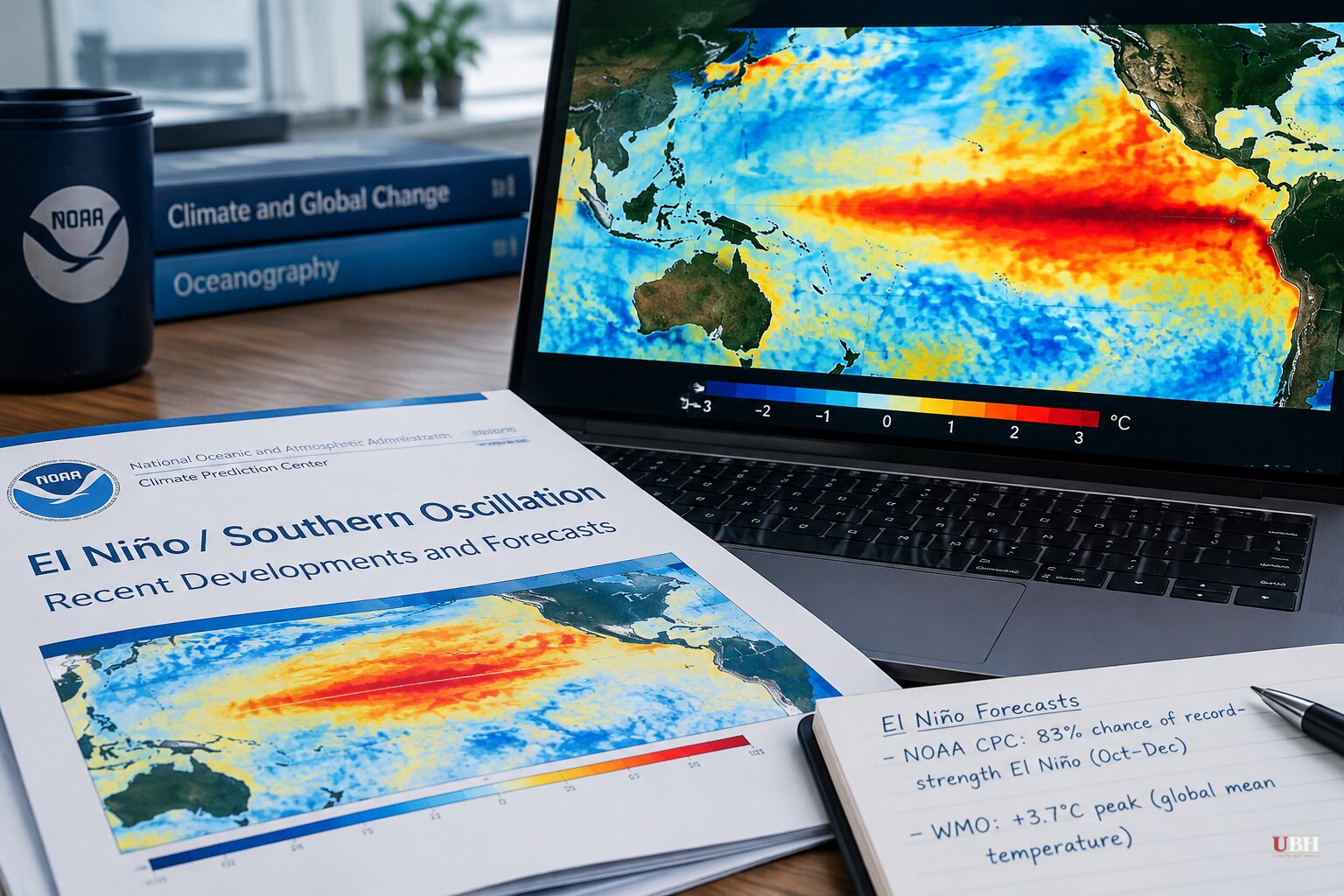
NOAA's Climate Prediction Center (CPC) said Thursday, Oct. 8, that the current El Niño has an 83% chance of reaching a three-month Relative Oceanic Niño Index (RONI) of at least +2.5°C (+4.5°F) for October–December. No El Niño in the agency's record, which dates to 1950, has hit that mark.
CPC kept its El Niño Advisory in place. It also said strong-to-very-strong conditions are likely to last through January–March 2027, with the probability above 83%.
What the Pacific looks like now
Sea-surface temperature anomalies topped +4°C (+7.2°F) in parts of the eastern equatorial Pacific during September, according to CPC.
The agency's relative indices for the month:
- Niño-3.4: +2.1°C (+3.8°F)
- Niño-3: +3°C (+5.4°F)
- Niño-1+2: +3.9°C (+7°F)
The heat is not just at the surface. CPC said the subsurface temperature index across 180°–100°W is well above average, with a deeper-than-normal thermocline. Anomalies exceed +10°C (+18°F) at depth in the eastern Pacific.
The atmosphere is moving with the ocean. CPC reported low-level westerly wind anomalies and upper-level easterly anomalies stretching from the western to east-central Pacific. Rainfall and convection stayed enhanced over the central and eastern Pacific and suppressed over Indonesia. The Southern Oscillation indices were significantly negative.
The probabilities
CPC gave the chance of a three-month RONI at or above +2.5°C as follows:
- September–November: 54%
- October–December: 83%
- November–January: 70%
CNN reported that the October–December figure is up from 75% a month earlier.
The +2.5°C bar sits well above CPC's own "very strong" category, which starts at a three-month RONI of +2°C (+3.6°F). CNN noted that the 2015–16, 1997–98 and 1982–83 events were the previous very strong El Niños.
RONI is a newer yardstick. It takes the Niño-3.4 anomaly and subtracts the average temperature of the global tropical oceans, which strips out the background warming from long-term climate change. CNN reported that the index stood at 2°C in early September.
The WMO number is bigger
The World Meteorological Organization issued its own seasonal assessment the same day. Its multi-model ensemble, drawn from 13 national and international climate centers, puts the October–December Niño-3.4 anomaly at about +3.7°C (+6.7°F), with a peak around December.
If that verifies, WMO said, it would be the highest since observations began. The previous stated maximum was +2.6°C (+4.7°F) in November 2015–January 2016. WMO also gave a near-100% probability that El Niño persists through February 2027.
The CPC and WMO figures are not directly interchangeable. One is a relative index, the other a raw Niño-3.4 anomaly. Both point the same direction.
Effects so far, and what a winter could bring
CNN's weather team says the event is already shaping weather, citing wildfires in Indonesia and an unusually active Pacific tropical cyclone season. CPC's own observation of suppressed rainfall over Indonesia fits that picture.
For the U.S., the general pattern in El Niño winters is a shifted jet stream. The Sun Times News in Washtenaw County, Michigan, says that typically favors warmer-than-average conditions across the northern states and Great Lakes. That would mean fewer prolonged cold spells and more precipitation falling as rain instead of snow.
NOAA stresses that those impacts are never guaranteed. El Niño shifts the odds over several months. It does not produce individual storms, and Arctic outbreaks can still occur in a warm-leaning winter.
A Northwest Arkansas restoration company, Paul Davis Restoration, is warning homeowners about more precipitation, ice and a shifted tornado risk. It cites patterns from the 1982–83, 1997–98 and 2015–16 events. The company also acknowledges that none of this is a specific forecast, and it sells storm-damage repair.
What comes next
The specifics for American households will come soon. NOAA's National Weather Service will release its 2026–27 U.S. Winter Outlook for December through February on Thursday, Oct. 15, at 11:00 a.m. ET, in a media teleconference.
Officials will cover temperature and precipitation predictions, expected drought changes and the effect of what NOAA calls a very strong El Niño. That briefing, not the headline probabilities, will show where the forecast turns into regional risk.
Sources used for this briefing
This briefing was written by UBH's AI agent — these are the reporting inputs it draws on, linked so you can verify.


