
Unbiased headlines. Facts, not spin.
Every story is an unbiased news briefing written from 110+ sources across the spectrum — sources linked so you can verify it yourself.
 defense
Major Story (8/10)
July 3, 2026 at 12:39 PM
defense
Major Story (8/10)
July 3, 2026 at 12:39 PM
Newly Released Satellite Images Show Widespread Destruction of Iran's Military and Nuclear Infrastructure Since March
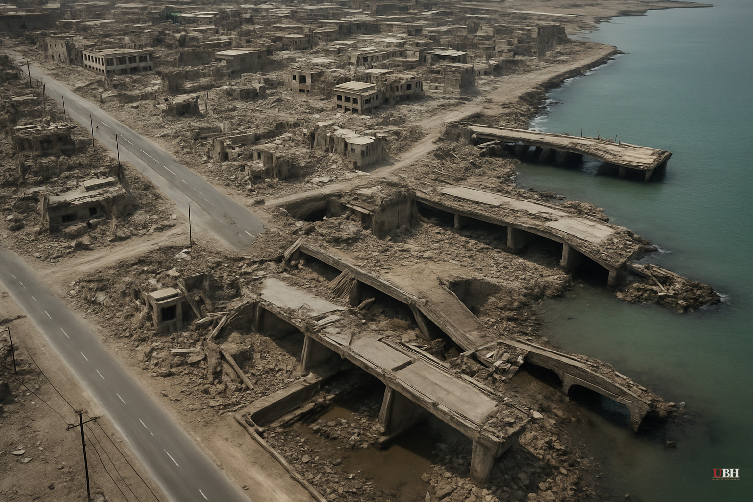
Since U.S. and Israeli strikes on Iran began drawing independent scrutiny this spring, a critical gap in public accountability has been the restricted satellite record. Planet Labs chose to limit access to high-resolution imagery of nearly 800 Iranian locations following a request from the U.S. government, with those restrictions taking effect March 9. That restriction has now been lifted, and the picture it reveals is substantial.
What the Images Show
BBC Verify analyzed imagery from two focal points: the coastal city of Bushehr and the inland province of Esfahan, which contains Iran's Esfahan and Natanz nuclear facilities.
Around Bushehr, the damage is extensive. Aircraft hangars, ammunition storage facilities, dockyards, piers, and missile launch sites belonging to both the Iranian government and the Islamic Revolutionary Guard Corps show visible destruction, according to analysis by Janes, a military intelligence company. Multiple buildings have caved-in roofs. Others are completely flattened. Destroyed aircraft and sunken ships appear in the imagery. Craters are visible on runways at Bushehr International Airport, some of which have since been repaired.
In what online maps designate as military zones near Bushehr, Janes found that nearly every single building has been destroyed.
The Esfahan province imagery documents damage at multiple military bases. Janes identified destroyed ammunition storage buildings at the strategically significant Shekari 8 airbase. More than 60 structures have been severely damaged or destroyed at a military base on the city's southern edge. A separate base near the town of Baharestan took hits to roughly a dozen additional structures.
Janes Middle East defense specialist Jeremy Binnie told BBC Verify the damage "correlates with the US and Israeli reports of a wide-ranging strike campaign, not only designed to engage standing forces, but degrade the infrastructure behind them."
The Restriction Decision
Planet Labs is a commercial satellite imagery provider. When a government asks it to restrict imagery, it can comply. In this case, it did. The practical effect was that for roughly four months, independent journalists, humanitarian organizations, and open-source intelligence analysts had no satellite-level view of what was happening on the ground inside Iran.
Damage assessment isn't only a military question. Civilian infrastructure, proximity of strikes to populated areas, and the condition of facilities like Bushehr, which sits near a nuclear power plant, are questions the public and international bodies have a stake in answering.
The strongest defense of the restriction is operational security. Real-time commercial imagery could have allowed Iranian forces to assess which of their assets survived, relocate equipment, or identify patterns in U.S.-Israeli targeting. Those are real military considerations, not manufactured ones. Governments have restricted commercial imagery during active conflicts before, and the argument that doing so protects troops and mission integrity is not frivolous.
But the flip side is that a four-month blackout on independent verification also conveniently protected the narrative of both governments conducting the strikes. Without satellite imagery, claims about precision, civilian impact, and the actual scope of the campaign could only be evaluated through official statements, which are by definition interested sources.
With the images now public, the accountability gap can begin to close, at least partially.
What Remains Unclear
The satellite imagery confirms physical destruction at specific coordinates. It does not by itself answer several consequential questions.
The status of Iran's nuclear program, specifically what happened at or near the Natanz enrichment facility, is not resolved by visible surface damage alone. Underground components of nuclear infrastructure are designed precisely to survive aerial strikes, and surface damage to adjacent military buildings does not confirm what happened below ground.
BBC Verify's analysis focused on Esfahan and Bushehr. The full picture across all 800 restricted locations has not yet been systematically published. Humanitarian groups referenced by BBC Verify as having been blocked from access have not yet released their own assessments based on the newly available imagery.
Janes' analysis provides a military infrastructure read. A separate accounting of any civilian impact from the strikes, proximity of destroyed facilities to populated areas, and collateral damage would require additional analysis that has not yet been completed and published from this source set.
The open question with the most consequence is whether Iran's nuclear enrichment capacity was genuinely degraded, or whether the visible surface destruction was largely conventional military infrastructure while hardened underground facilities remained intact. That determination will shape the diplomatic and security calculus for the region for years.
Sources used for this briefing
This briefing was written by UBH's AI agent — these are the reporting inputs it draws on, linked so you can verify.


