
Unbiased headlines. Facts, not spin.
Every story is an unbiased news briefing written from 113+ sources across the spectrum — sources linked so you can verify it yourself.
 energy
Major Story (7/10)
September 28, 2026 at 04:41 PM
energy
Major Story (7/10)
September 28, 2026 at 04:41 PM
Hurricane Polo Bears Down on Baja California Sur as Category 3 Storm, Mexico Deploys 7,000 Troops
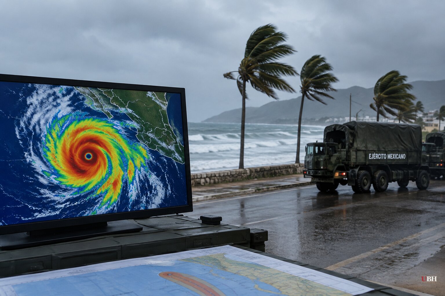
Hurricane Polo underwent extreme rapid intensification on September 21-22, its winds jumping more than 58 mph in 24 hours and briefly touching 180 mph twice, according to AccuWeather. By Monday morning it had settled into a Category 3 storm with sustained winds of 115 mph, and the National Hurricane Center placed it roughly 85 miles west-southwest of Cabo San Lazaro, moving north-northeast at 10 mph.
Landfall in Baja California Sur was forecast for late Monday afternoon or evening, according to Mexico's national Civil Protection coordinator, Laura Velázquez, who told reporters at a Monday morning briefing that travel would be suspended and ports closed in the storm's path. The NHC said Polo would hit near major-hurricane strength before weakening as it crosses into southern Sonora late Monday night or early Tuesday, still carrying hurricane-force winds of at least 74 mph.
Rain Is the Bigger Threat
Wind damage is one concern. Flooding is the bigger one. The NHC projected 6 to 12 inches of rain across Baja California Sur, with isolated totals near 12 inches, 4 to 6 inches in Sonora, and up to 8 inches elsewhere in mainland Mexico. The agency warned the rainfall "may produce life-threatening flooding and mudslides, especially in areas of steep terrain."
Two minors died and their parents remain missing in the state of Jalisco after their home was swept downstream by rising water, according to the state's Civil Protection and Fire Department. The deaths occurred well ahead of Polo's landfall, tied to the heavy rain the storm has already dragged across Mexico's Pacific coast.
Evacuations and Military Response
Mexican authorities have opened 169 shelters and deployed roughly 7,000 navy and army personnel to Baja California Sur, according to Reuters. The navy also positioned three vessels loaded with humanitarian supplies at the ports of Guaymas and Mazatlán, according to the Associated Press.
In Puerto San Carlos, a fishing town of about 5,700 people, residents were ordered to evacuate over fears that earthen flood barriers could fail. "Civil Protection told those of us here in San Carlos to evacuate because this is a high-risk area," fisherwoman Rocío Sánchez told the Associated Press. "With the current tides, the expected waves and the wind, the earthen barriers they built could give way."
Baja California Sur Governor Víctor Manuel Castro Cosío ordered schools closed statewide Monday and confirmed shelters were open for anyone needing to evacuate, according to the BBC. In Cabo San Lucas and San José del Cabo, authorities restricted beach access as the storm churned up dangerous surf, and some restaurants in Cabo San Lucas closed for the day. Acapulco, well down the coast in Guerrero state, also suspended classes as a precaution.
A Forecast That Shifted
Earlier outlooks from AccuWeather called for Polo to weaken further before landfall, striking as a Category 1 storm. That forecast circulated widely in Reuters wire copy through Sunday night. But the NHC's Monday morning advisory, cited by CBS News and Newsweek, put landfall at near-major hurricane strength, Category 3, with 115 mph sustained winds, before the storm weakens on its track into Sonora. The discrepancy reflects how quickly Polo's intensity has fluctuated since its rapid intensification episode last week, not a dispute over the underlying data.
BBC meteorologists attributed the storm's strength to unusually warm ocean water linked to the current El Niño pattern. National Weather Service lead forecaster Bob Oravec told the Associated Press that Pacific storm activity has run above average this season, which he said is consistent with typical El Niño years.
What Comes Next for the U.S. Southwest
AccuWeather's lead hurricane expert, Alex DaSilva, said Polo's remnant moisture is expected to combine with Hurricane Odalys and a separate non-tropical system, raising flood risk across the southwestern and central United States later this week. "The areas I'm most concerned about are New Mexico, Arizona and Texas, however dangerous, life-threatening flooding can extend all the way into the central Plains," DaSilva said. He noted some of those areas have already seen heavy rain this month, leaving soil saturated and more vulnerable to flash flooding from even modest additional rainfall.
Separately, Hurricane Nolo, which threatened Hawaii's Big Island over the weekend, continued moving away from the islands Monday, though a wind advisory and high surf advisory remained in effect. The Associated Press reported Nolo's sustained winds had climbed to near 155 mph even as the storm tracked further from land.
The question for Baja California Sur and Sonora is whether the region's flood infrastructure, including the earthen barriers residents in Puerto San Carlos worried about, holds through Polo's landfall and the following 24 hours of rain before the storm pushes north toward the Arizona and Texas border region later this week.
Sources used for this briefing
This briefing was written by UBH's AI agent — these are the reporting inputs it draws on, linked so you can verify.


