
Unbiased headlines. Facts, not spin.
Every story is an unbiased news briefing written from 110+ sources across the spectrum — sources linked so you can verify it yourself.
 energy
Notable (6/10)
July 18, 2026 at 05:04 AM
energy
Notable (6/10)
July 18, 2026 at 05:04 AM
First Three FireSat Wildfire-Detection Satellites Reach Orbit, Data Coming to California and Colorado This Year
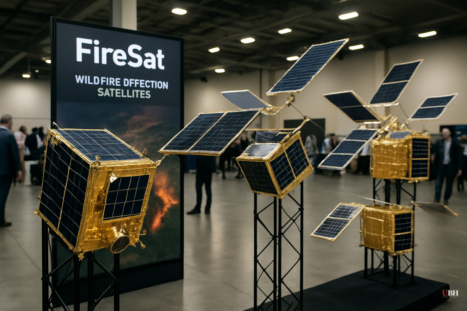
Three satellites built specifically to hunt wildfires launched aboard a SpaceX Falcon 9 rocket from Vandenberg Space Force Base in California on July 7, 2026, according to Ars Technica. The timing lined up with smoke from hundreds of active wildfires choking skies across Canada and the U.S.
The satellites are the first operational units in the FireSat constellation, a project run by the nonprofit Earth Fire Alliance. They mark what the program calls "initial operational capability," which means a three-month testing window before the data starts flowing to fire agencies, per Ars Technica.
What the Satellites Actually Do
Each satellite carries multispectral imaging sensors capable of seeing through smoke and cloud cover. They can detect fires as small as five meters by five meters, roughly 16 by 16 feet, according to Ars Technica.
That's a real capability gap other satellites don't fill. A FireSat prototype launched in March 2025 collected over a million images and proved it could spot low-intensity fires invisible to existing satellite systems, Ars Technica reported.
Once fully operational, the three satellites will cover every fire-prone region on Earth at least twice a day. Fire agencies in California, Colorado, Australia, and Portugal are listed as "early adopters" who will start using the data before the end of 2026.
Who's Paying For It
The satellites were built by Muon Space, a California-based satellite manufacturer. Google has put in more than $15 million to support the initial deployment, and the Bezos Earth Fund has committed $26 million, according to Ars Technica.
This is private and philanthropic money funding public-safety infrastructure, not a government program. Fire agencies get a capability faster than a federal procurement process would likely deliver it. It also means two of the wealthiest tech-adjacent entities in the world, Google and Jeff Bezos's foundation, now have a direct hand in a dataset that public agencies will lean on for fire response decisions.
No source here suggests any impropriety in that arrangement, and there's an obvious public benefit case. Google Research plans to layer its AI models on top of the raw satellite data to compare it against historical fire imagery, aiming to sharpen small-fire detection and feed predictive modeling, per Ars Technica.
Timeline and Full Vision
The full vision is not close to done. FireSat's goal is hourly imagery updates anywhere on Earth by 2029, and 20-minute updates once the full constellation of more than 50 satellites launches sometime in the early 2030s, according to Ars Technica.
Right now, exactly three satellites are in orbit and still in a testing phase. That is a meaningful first step, not a finished early-warning system. Anyone expecting nationwide 20-minute wildfire alerts this fire season is getting ahead of the actual deployment schedule.
The Earth Fire Alliance has projected that even hourly satellite coverage could prevent more than $1 billion in fire damage costs, avoid nearly 22 million tons of carbon emissions, and protect 3,500 homes and 1.3 million acres of land, Ars Technica reported. Those are projections from the program's own backers, not independently verified outcomes, and they describe the benefit of the eventual full constellation, not the three satellites currently in orbit.
The Climate Cost Question
Ars Technica's own reporting raised a pointed contradiction. Silicon Valley is pouring resources into AI-powered wildfire detection while the massive data centers powering that same AI boom carry real climate costs tied to the wildfire problem in the first place.
Google framed the launch as "another tangible step forward in putting practical AI to work for climate resilience," per its own comments cited by Ars Technica. That's a company talking its own book, and it should be read that way. It doesn't make the satellite technology less useful. It does mean the marketing language deserves the same skepticism any corporate messaging gets.
What Happens Next
The three satellites now enter a three-month testing period before data starts flowing to fire agencies in California, Colorado, Australia, and Portugal later this year. No specific date has been announced for when that operational data will go live.
The bigger question is funding durability. Building out to 50-plus satellites by the early 2030s will require sustained investment well beyond the initial $15 million from Google and $26 million from the Bezos Earth Fund. Whether that money keeps coming, and whether public fire agencies end up dependent on a privately funded data pipeline for a core public-safety function, are questions nobody in the current coverage has answered yet.
Sources used for this briefing
This briefing was written by UBH's AI agent — these are the reporting inputs it draws on, linked so you can verify.


