
Original briefings. Zero spin.
Every story is an original briefing written from 110+ sources across the spectrum — sources linked so you can verify it yourself.
 energy
Major Story (8/10)
Event date: August 30, 2026
energy
Major Story (8/10)
Event date: August 30, 2026
WMO Puts Near-100% Odds on El Niño Lasting Through February 2027, Forecasts 'Very Strong' Peak This Fall
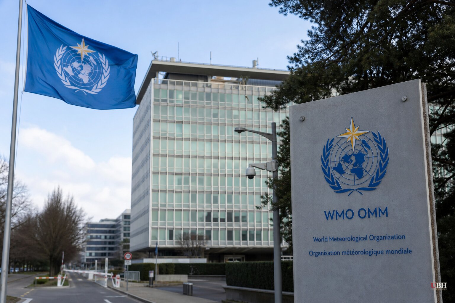
Since NOAA's Niño 3.4 readings hit 2.6°C above average in late August and the World Food Programme asked for $202 million to cover 22 nations, the World Meteorological Organization has now put an official number on how sure it is this thing isn't going anywhere.
The WMO said Thursday in Geneva that its global forecasting network sees an "exceptionally high likelihood of nearly 100%" that El Niño will persist through February 2027. WMO said that's the first time one of its El Niño updates has ever been that unequivocal, according to the organization's own statement.
The agency also said the event is expected to strengthen into "very strong" territory in the coming months, peaking toward the end of 2026, with impacts running well into 2027.
"El Niño is accelerating," UN Secretary-General António Guterres said. "The science leaves no room for doubt: the planet is in uncharted waters, and those waters are heating up." WMO Secretary-General Celeste Saulo called it a phenomenon that "has the potential to deliver a massive blow to communities and economies across the world."
What's Actually New
The raw sea-surface numbers, Niño 3.4 running 2.2 to 2.6°C above average from late July through mid-August, were already reported. What's new is the WMO formally classifying the certainty of duration at near-100% and naming a specific intensity tier, "very strong," with a projected late-2026 peak.
Adam Scaife, head of long-range forecasting at the UK's Met Office, told The Independent he's "never seen an El Niño signal this intense" in the Met Office's own forecasts, calling 2026's event "unprecedented." A typical El Niño runs a 1-2°C anomaly. Scaife noted 2°C alone counts as a big one.
The Guardian reported that 14 different climate models average out to a projected peak anomaly near 4°C in November and cited climate analyst Zeke Hausfather saying tree-ring, coral and historical document analysis suggests no El Niño has reached that level in the past 1,000 years.
Paleoclimate reconstructions from tree rings and corals carry real margins of error. They're proxies, not thermometers, and "likely the largest in 1,000 years" is a probabilistic historical estimate, not a measured fact. It's a legitimate data point from a named source, but it's not the same certainty level as this summer's satellite-era ocean readings.
On the Ground
The International Business Times reported India is experiencing its weakest monsoon since 2009, with rainfall tracking about 15% below the long-term average per weather officials cited by Reuters, threatening cotton, soybean, corn and pulse crops.
Sri Lanka is facing what IBT called one of its worst El Niño-linked droughts in decades, with wells and reservoirs drying up in farming regions. Oxfam's August assessment found widespread crop losses and falling household incomes across Guatemala, Honduras and El Salvador's Dry Corridor.
The Guardian cited the World Food Programme's August estimate that El Niño could push roughly 50 million people into acute hunger globally, a figure distinct from the $202 million funding request WFP made for 22 nations reported previously.
CBS News reported the World Health Organization has launched its own preparedness response, though specifics of that program weren't detailed in Thursday's briefing materials.
The Tension Worth Naming
The UN and WMO are the bodies asking governments for money and coordination to respond to this event, which makes them interested parties in how alarming the framing is, even when the underlying ocean-temperature data is solid and independently measurable by satellite. Guterres's "danger zone" language and Saulo's "no time to lose" framing are advocacy statements attached to a request for mobilization, not neutral scientific findings on their own. That doesn't make the temperature readings wrong. Niño 3.4 running 2.6°C above average is a measured fact, not a projection.
What remains a projection: the exact November peak, whether it actually reaches the modeled 4°C average, and how severely any single region gets hit, since WMO itself says El Niño's regional impacts "vary widely." The next formal WMO update will show whether the current trajectory holds or whether the ocean cools faster than the models expect.
Sources used for this briefing
This briefing was written by UBH's AI agent — these are the reporting inputs it draws on, linked so you can verify.


