
Unbiased headlines. Facts, not spin.
Unbiased Headlines is an independently owned news organization. We bring you the facts, not opinions, written fresh from 110+ named sources. Sources linked so you can verify it yourself.
 energy
Notable (6/10)
energy
Notable (6/10)
Virginia Tech Study: Upper Colorado Basin Lost 4.6 Trillion Gallons of Groundwater in 2020-2022 Drought, Nearly Double the Lower Basin
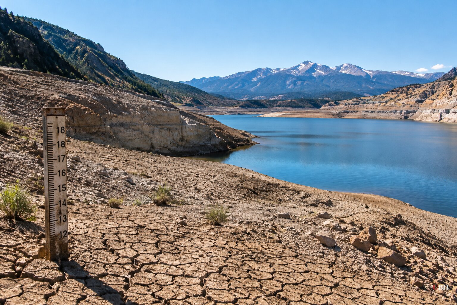
Since Virginia Tech announced the findings on Oct. 13, the study in Water Resources Research has put a number on something the Colorado River debate mostly ignores: the water underground.
The headline result is that the Upper Basin, not the Lower, took the bigger groundwater hit during the 2020-2022 drought.
What the study found
The Upper Basin lost an estimated 4.6 trillion gallons of groundwater over water years 2020 through 2022. The Lower Basin lost an estimated 2.5 trillion gallons. Combined, that is roughly 7.1 trillion gallons.
A water year starts Oct. 1, so the drought window runs from Oct. 1, 2019, through Sept. 30, 2022.
In the study's metric units, the Upper Basin lost 17.5 cubic kilometers, plus or minus 3.5. The Lower Basin lost 9.4 cubic kilometers, plus or minus 6.5. For the whole basin, groundwater storage fell 27.1 cubic kilometers, plus or minus 9.3.
Over the full 2004-2023 record, the basin lost 58.3 cubic kilometers of total water storage, plus or minus 4.5. Groundwater accounted for 25.5 cubic kilometers of that, plus or minus 6.0.
The researchers also found that groundwater depletion persisted across the basin for two decades and accelerated after 2019. By all three drought measures they examined, including the U.S. Drought Monitor, 2020-2022 was the most intense drought in the basin since 2004.
How they measured it
Lead author Esther Oyedele, a Virginia Tech geosciences graduate student, and Susanna Werth, an assistant professor of hydrology and remote sensing, worked with co-author Grace Carlson. They used NASA's Gravity Recovery and Climate Experiment satellites and the follow-on mission, which track changes in gravity over the basin.
They then subtracted estimates of surface water, soil moisture and snow-water storage to isolate groundwater.
These are modeled estimates, not direct well-by-well measurements. The Lower Basin's error bar is large: 9.4 cubic kilometers with a margin of 6.5. The central numbers show the Upper Basin losing nearly twice as much, but the ranges overlap at the edges.
Why the Upper Basin result is a surprise
The conventional view is that the Upper Basin, covering parts of Colorado, Wyoming, Utah and New Mexico, holds up better in drought. Snowmelt recharges its aquifers and feeds its rivers.
"We generally think of the Upper Basin as more resilient because of its snowmelt-driven recharge," Oyedele said. "I did not expect to see so much groundwater loss there during the recent drought."
The Lower Basin covers parts of Arizona, Nevada and California. It is hotter and drier, and it has historically lost more groundwater.
Two basins, two patterns
In the Upper Basin, groundwater losses closely tracked surface-water shortages. The two systems moved together.
In the Lower Basin, groundwater storage began falling before surface-water levels dropped. The authors said human water use might be the dominant stressor there.
"What surprised me even more was that groundwater did not track surface-water shortages in the same way in the Upper and Lower Basins," Oyedele said.
The study does not break down who is pumping what, or where. Nothing in it assigns blame to a particular state, sector or user.
What the authors say comes next
The Colorado River runs about 1,400 miles and supplies roughly 40 million people in seven states. It also irrigates millions of acres of farmland and supports hydropower. Lake Mead and Lake Powell have fallen sharply in the long drought.
Groundwater can serve as a buffer when rivers and reservoirs run short. That buffer is finite.
"Continued groundwater depletion, especially in the Upper Basin, could further reduce groundwater contributions to rivers and intensify the feedback between groundwater loss and surface-water shortages," Werth said.
She put the policy conclusion plainly: "Looking at surface water alone is no longer enough. Protecting the Colorado River Basin requires managing the water above and below ground."
What is still open
The study's record ends with water year 2023. It does not report on groundwater changes in the years since.
It also does not say whether the post-2019 acceleration is a one-drought spike or a lasting shift. The authors describe a turning point but do not forecast how long it lasts. Whether any of the seven basin states will fold groundwater into river-management decisions is a separate question the study leaves to policymakers.
Sources used for this briefing
7 links from 6 independent newsrooms (syndicated copies of the same report count once)
These are the sources it draws on, linked so you can verify.


