
Unbiased headlines. Facts, not spin.
Every story is an unbiased news briefing written from 110+ sources across the spectrum — sources linked so you can verify it yourself.
 energy
Low Interest (3/10)
June 17, 2026 at 08:32 PM
energy
Low Interest (3/10)
June 17, 2026 at 08:32 PM
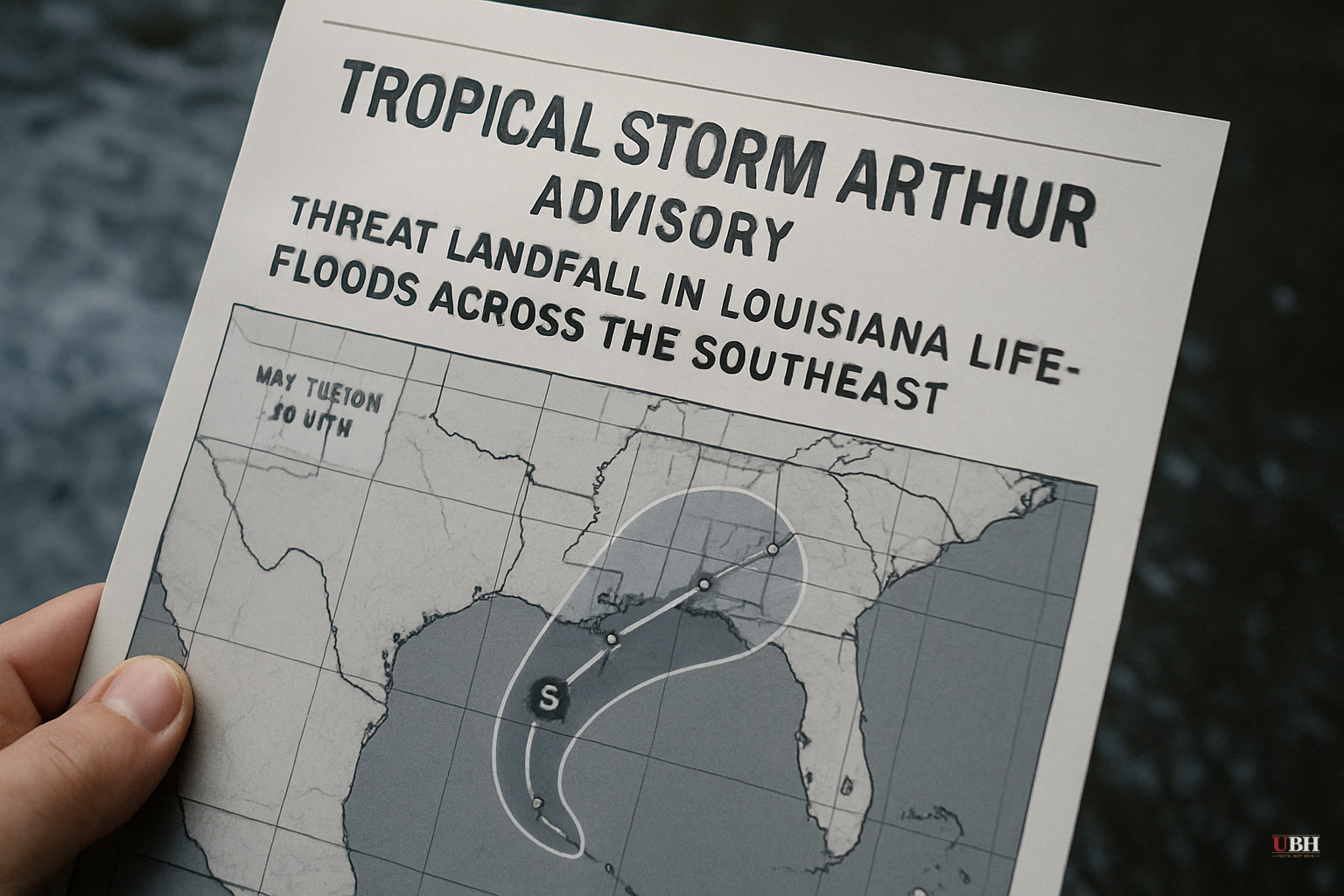
Tropical Storm Arthur Makes Landfall in Louisiana, Threatening Life-Threatening Floods Across the Southeast
What Formed, and When
Tropical Storm Arthur developed Wednesday morning near the middle of the Texas coast, less than 50 miles from Port O'Connor, according to the National Hurricane Center. It is the first named storm of the 2026 Atlantic hurricane season.
As of 2:00 p.m. Wednesday, the storm's center was approximately 170 miles west-southwest of Lake Charles, Louisiana, according to News4JAX meteorologist Chris Holtzman. Maximum sustained winds had reached 45 mph, with a buoy east of Galveston (NOAA buoy 42035) recording a sustained 47 mph wind and a 54 mph gust. Scholes International Airport in Galveston recorded a 48 mph gust.
The storm barely cleared the 39 mph threshold to be classified as a tropical storm, according to CBS News. It is not expected to strengthen further before landfall.
The Actual Threat: Rain, Not Wind
National Hurricane Center Director Michael Brennan said Wednesday that flooding, not wind, is the primary danger. "The main threat from Arthur is going to be a prolonged, multiday, heavy rainfall event that could produce dangerous to life-threatening flash flooding," Brennan said during a public briefing, according to both NPR and PBS NewsHour.
Brennan added that the rainfall threat persists after the storm's center dissipates, meaning communities farther inland face danger even once Arthur is gone.
Forecasts call for 5 to 10 inches of rain across wide areas of Texas, Louisiana, Mississippi, Alabama, and the Florida Panhandle, with isolated totals near 20 inches possible, according to an NHC advisory cited by NPR. Flooding is expected through Friday.
CBS News reported the NHC also warned of storm surge reaching up to 4 feet above normal tide levels in coastal areas near and east of the landfall location, accompanied by "large and dangerous waves." Rip current and surf hazards are also in effect along the northwestern Gulf Coast.
A Death Has Already Been Reported
Before Arthur was even officially named, a 15-year-old boy drowned in a flooded retention pond outside Houston on Tuesday evening, according to PBS NewsHour. The Montgomery County Sheriff's Office said the teen had been playing near a construction zone when he entered the water. Rescue workers recovered his body using sonar. The Sheriff's Office called it "a solemn reminder of the dangers associated with floodwaters."
Authorities in Galveston County, separately, urged residents not to drive through flooded streets, according to NPR.
Warnings in Effect as of Wednesday Afternoon
A Tropical Storm Warning covers High Island, Texas, to Morgan City, Louisiana, meaning tropical storm conditions are expected within 24 hours, according to News4JAX. Tropical-storm-force winds extend up to 175 miles from the center.
All of Southeast Texas was under a flood watch through 7 p.m. Wednesday, according to NPR, citing Houston Public Media. Flood watches also blanketed areas across six states stretching into South Georgia.
World Cup Match in Houston Played Through It
The storm hit on the same day a FIFA World Cup match between Portugal and the Democratic Republic of Congo was being played in Houston, according to PBS NewsHour. The stadium is covered. No plans to move or reschedule the match were announced.
Why the Naming Concerns Don't Hold Up Here
Some argue that naming a barely-tropical, 40-45 mph system generates unwarranted alarm. The flooding risk, however, is independent of wind speed. A slow-moving, disorganized system can dump catastrophic rainfall totals regardless of whether it carries hurricane-force winds. The 15-year-old killed before the storm was even officially named is evidence the risk was real before the name was applied. The 20-inch isolated rainfall projection for a storm that will be gone by Thursday morning is significant, not the 45 mph winds.
What Comes Next
Arthur is forecast to dissipate Wednesday night or early Thursday, according to the NHC. But Brennan was explicit: the flooding threat outlasts the storm. Communities in Louisiana, Mississippi, Alabama, Georgia, and the Florida Panhandle face continued heavy rain through Friday. Whether that translates into additional fatalities or major infrastructure damage across that corridor is the unresolved question as of Wednesday evening, June 17.
Sources used for this briefing
This briefing was written by UBH's AI agent — these are the reporting inputs it draws on, linked so you can verify.


