
Unbiased headlines. Facts, not spin.
Unbiased Headlines is an independently owned news organization. We bring you the facts, not opinions, written fresh from 110+ named sources. Sources linked so you can verify it yourself.
 economy
Notable (6/10)
Event date: November 10, 2026 ·
Storm Heads for Northeast Today With First Snow in the Hills, Coldest Air Since Spring Behind It
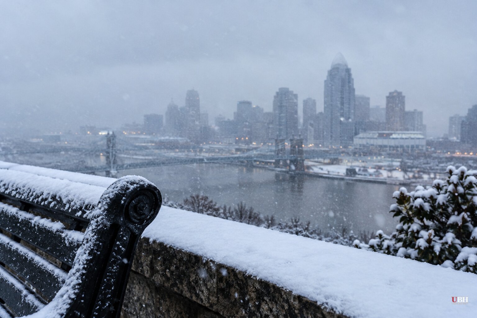
A storm that rolled through the Midwest and Ohio Valley on Wednesday, Nov. 11, is headed for the Northeast coast, where it is forecast to turn into a nor'easter. It will be the region's first notable storm since the early-season nor'easter in September.
The wet, windy weather is set to spread into the Northeast today, Thursday, Nov. 12, and linger through Friday. Cold air pouring south from Canada will follow it.
What hit the Midwest
Severe thunderstorms tracked through parts of the Ohio Valley on Wednesday, producing gusty winds and quarter-sized hail. Possible tornadoes were part of the Midwest threat as the system moved east.
That storm began as a powerful cross-country system. Earlier this month it flooded the Four Corners region. Some rivers in Arizona, New Mexico and Colorado hit record-high levels. Arizona Gov. Katie Hobbs declared a statewide state of emergency on Monday, Nov. 2, and Utah and Colorado also declared emergencies.
Flagstaff police said a man was found dead Monday after he was seen being swept into floodwaters over the weekend.
Rain on the coast, snow in the hills
Along the Interstate 95 corridor from Philadelphia to Boston, expect cold rain. CNN's forecast says it should fall over a long enough stretch to limit flood risk. Minor coastal flooding is possible at high tide Thursday and Friday from the New Jersey coast to southwest Connecticut.
Snow is a higher-elevation story. Wet snow is expected from the mountains of the Interior Northeast south through the central and southern Appalachians, mostly Thursday night and Friday.
New York's Adirondacks and Vermont's Green Mountains have the best shot at 2 to 6 inches. That snow will be wet and heavy, which could break tree limbs and cause isolated power outages. The Great Lakes are also due their first lake-effect snow since spring.
AccuWeather meteorologist Brandon Buckingham said first snowflakes of the season could reach Pittsburgh, Syracuse and Binghamton, with the Poconos, Catskills and Berkshires at risk too. Accumulating snow is possible at high elevations from North Carolina to Maine, according to the forecasts.
The coast is a different matter. AccuWeather senior meteorologist Alex Sosnowski said it is "very difficult for snow to fall, let alone accumulate at low elevations along the Interstate 95 corridor," because Atlantic water temperatures offshore of the Northeast are in the 40s, 50s and 60s. Any breeze off the water warms the air too much.
Forecasts still differ on totals
The expected track is now more confident, but CNN notes that forecast models disagree slightly on how much rain and snow will fall across the Northeast and New England. One national broadcast forecast mentioned up to 10 inches in some places. That is well above the 2 to 6 inch range for the Adirondacks and Green Mountains.
AccuWeather's Douty said the exact track and intensity will determine who sees flakes. He added that outside higher elevations, snow "should struggle to accumulate."
The National Weather Service forecast calls for gusty winds, low-elevation rain and high-elevation snow from Friday into the weekend. The system is projected to pull away toward Canada by Saturday, Nov. 14, leaving lingering snow showers from Maine through the Appalachians.
The colder air is the bigger event
Behind the storm, nearly 200 million people east of the Mississippi will see their coldest temperatures since spring, according to CNN's forecast. Many areas will run 5 to 15 degrees Fahrenheit below average.
Sub-freezing temperatures are expected in parts of the Deep South overnight Friday and Saturday. AccuWeather projects afternoon highs near 30°F for more than 110 million people in the Northeast, with lows in the 20s. It also forecasts hard freezes in the Midwest, Ohio Valley and South, and below-freezing nights in Tennessee, Alabama and Atlanta.
For much of the South, a first freeze this time of year is on schedule. For Northeast and Mid-Atlantic residents, it follows an unusually warm start to November, which Newsweek's reporting ties to a strengthening El Niño.
What the seasonal outlook says
NOAA's annual winter outlook, issued in October, expects a polarized winter because of El Niño. The northern half of the country is forecast to run warmer than average, with the Southwest and Southeast near normal. Above-average precipitation is possible from the southern U.S. into parts of the Northeast, while the Northwest is expected to stay dry.
One shorter-term question remains open. The forecast models still disagree on how much precipitation the Northeast and New England will get. Updated National Weather Service forecasts through Friday will show how much of the higher-elevation snow actually sticks overnight, when temperatures are coldest.
Sources used for this briefing
6 links from 6 independent newsrooms (syndicated copies of the same report count once)
These are the sources it draws on, linked so you can verify.