
Unbiased headlines. Facts, not spin.
Unbiased Headlines is an independently owned news organization. We bring you the facts, not opinions, written fresh from 110+ named sources. Sources linked so you can verify it yourself.
 economy
Major Story (7/10)
Event date: October 30, 2026 ·
Satellite Survey of 465 Big Cities Finds Ground Sinking Up to 217 mm a Year in Parts of Mexico City
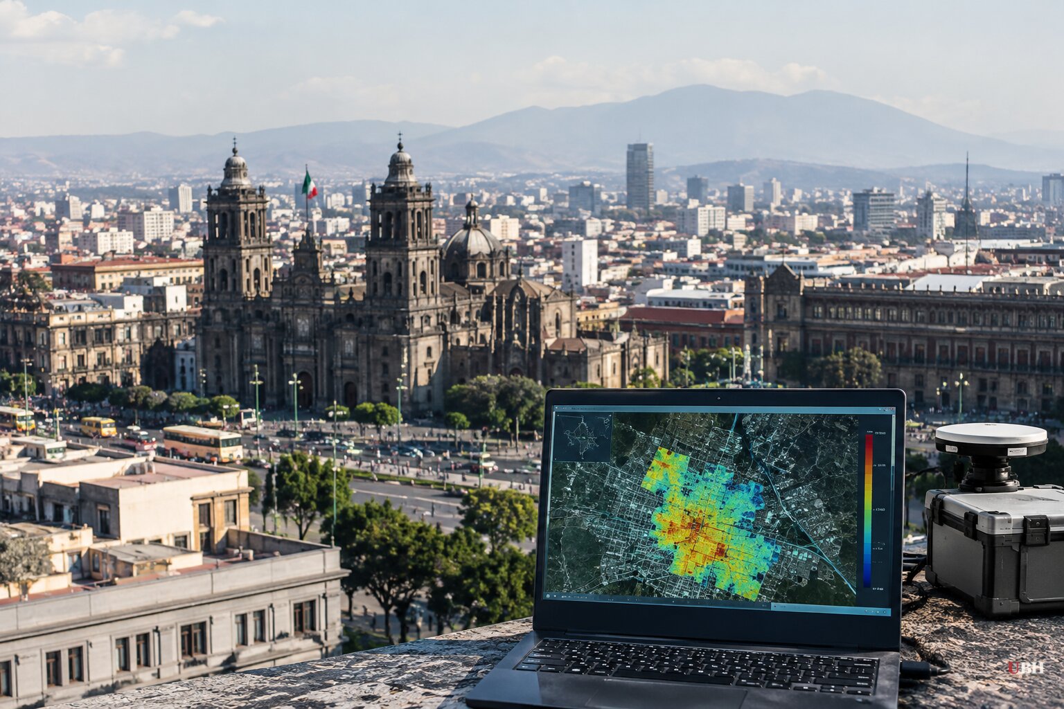
A new satellite survey of 465 large cities finds land sinking in places from Mexico City to Jakarta to Rome. The study, published in Nature Cities, covers cities of more than one million people in 107 countries from 2014 to 2023.
The data came from the European Space Agency's Sentinel-1 radar satellites. Researchers led by Shengli Tao and Xie Hu of Peking University compared repeat radar images to detect ground shifts of a few millimeters, down to patches only a few houses wide.
The numbers
Mexico City recorded the fastest local sinking, about 217 mm a year in some spots. That is roughly 8.5 inches. The citywide median there is 8 mm a year.
The highest citywide median rates were in Asia. Medan, Indonesia, sank about 33 mm a year, Bandung, Indonesia, 22 mm, and Mashhad, Iran, 16.5 mm. Isfahan, Iran, came in at 11 mm. Chittagong, Bangladesh, and Yangon, Myanmar, also ranked among the highest.
The authors say most of the ten worst cities are in Asia and North America. That list includes Bandung and Medan, Mashhad, and Torreón, Mexico City and Toluca in Mexico.
Coastal U.S. cities including New York, Boston and San Francisco are sinking at 2 to 6 mm a year, according to the authors. In China, about 16% of the land area across 82 major cities is sinking faster than 10 mm a year.
For almost half the cities in the dataset, no satellite radar study had been done before. Sinking showed up in South America and Africa, both less studied.
"It's a global urban problem," said study coauthor Guoquan Wang, a geophysicist at the University of Houston. Roland Bürgmann, a geophysicist at UC Berkeley who was not involved, called the work "the most comprehensive and systematic exploration of subsidence in urban cities."
What is pulling cities down
The biggest driver is usually groundwater pumping by utilities, industry and other users. When water leaves the underground sediment, pressure drops and the soil compacts under the weight of the buildings above. Groundwater helps hold up the soil like air in a cushion.
Other factors contribute. In New York, the weight of buildings compresses soft soils. Mining, earthquakes, tectonic movement and natural soil settling also play a role.
Sea level rise is a separate process. It compounds the danger on the coast, because land that drops while the water climbs makes flooding worse sooner. But the sinking measured in this survey is mostly local ground movement tied to local water use.
Why uneven sinking does the damage
Bürgmann's key warning is about differential movement. "If the whole city were to smoothly subside altogether by an inch or so, it wouldn't be that big of a problem," he said. When one neighborhood drops faster than its neighbor, strain builds.
That strain can crack foundations, break sewer lines, damage subway systems and worsen flooding. In Jakarta, sinking and flooding have become severe enough that Indonesia is building a new capital on the island of Borneo.
Wang says sinking is "cumulative and largely irreversible." Cities have still stopped it before.
Tokyo and Osaka
Manoochehr Shirzaei, a Virginia Tech geoscientist who peer-reviewed the study, said Tokyo once sank "way faster than many cities today." Officials there ended it with groundwater pumping rules and a shift toward surface water supplies.
Osaka offers a longer record. From the 1920s to the 1960s, heavy pumping lowered groundwater beneath the city by up to 30 meters and the land sank by more than two meters in places. Japan introduced strict groundwater regulations in the early 1960s.
Since then, water levels have recovered. Separate research using 44 monitoring wells, some as deep as 500 meters, and satellite radar found that greater Osaka, home to about 15 million people, is now rising. Uplift averages about 4 mm a year and reaches 12 mm a year in places. Groundwater levels have climbed up to a meter a year.
The recovery is uneven. One city block can rise quickly while ground less than 100 meters away rises slowly. The researchers found these corridors line up with known fault lines, which act like underground dams. On one side of the Uemachi Fault, groundwater has risen three times faster than on the other.
The pattern is a warning of its own. Even a successful policy can leave neighboring blocks moving at different speeds, and uneven movement is what breaks pipes and foundations.
What comes next
The study's authors say the findings can help identify hotspots where action is needed to reduce risks to buildings, infrastructure and communities. They note that limited data has made it hard for policymakers to see where risks are intensifying.
The survey is public, with an interactive map. City governments, utilities and water regulators now have block-level numbers for their own ground. Whether Mexico City, Medan or Bandung tighten pumping rules, as Tokyo and Osaka did, is the open question.
Sources used for this briefing
7 links from 7 independent newsrooms (syndicated copies of the same report count once)
These are the sources it draws on, linked so you can verify.