
Original briefings. Zero spin.
Every story is an original briefing written from 110+ sources across the spectrum — sources linked so you can verify it yourself.
 energy
Major Story (7/10)
Event date: August 20, 2026
energy
Major Story (7/10)
Event date: August 20, 2026
Satellite Study: High Mountain Asia Losing 24 Billion Tonnes of Groundwater a Year
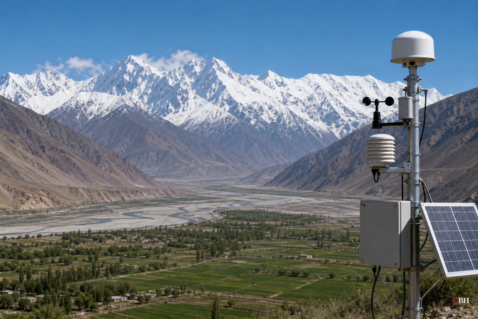
The water tower is leaking from below
High Mountain Asia, the sprawling mountain system that includes the Himalayas, Karakoram, and Tibetan Plateau, is often called the "Asian Water Tower." It feeds rivers that more than a dozen countries depend on for farming, drinking water, and basic survival.
A new study says the tower's foundation is cracking. Groundwater storage across the region is declining by about 24.2 billion tonnes a year, according to research led by Prof. Shudong Wang of the Aerospace Information Research Institute at the Chinese Academy of Sciences, published in Environmental Research Letters.
That number comes from an AI-powered model the team built specifically because ground-level data in this region is thin and the terrain is brutal to measure directly. The researchers combined multiple satellite observations, Earth system modeling, and explainable AI to reconstruct roughly 20 years of groundwater changes across the region.
Where the losses are worst
Roughly two-thirds of High Mountain Asia experienced declining groundwater storage between 2003 and 2020. The steepest losses hit heavily populated downstream basins with high irrigation demand: the Ganges-Brahmaputra, the Indus, and the Amu Darya.
Those are not obscure river systems. The Indus basin alone supports Pakistan's agricultural economy and tens of millions of people in northern India. The Ganges-Brahmaputra system runs through India and Bangladesh, two of the most densely populated regions on earth. The Amu Darya feeds Central Asian states including Uzbekistan and Turkmenistan.
Not every part of the region is losing water. Some higher-elevation inland areas actually saw localized increases in groundwater storage. The picture is uneven, not a uniform collapse.
Two drivers, and one is on us
The study attributes the changes to a mix of causes. Climate-related factors, particularly shifts in the cryosphere, the planet's frozen water locked in ice and snow, explain nearly half the variation.
But human groundwater withdrawals, mainly for irrigation, have become an increasingly significant driver since 2010. That's the part policymakers actually have some control over. Melting ice is a slower-moving, harder-to-reverse problem. Farmers pumping aquifers dry to water crops is a policy and infrastructure problem, one that governments in India, Pakistan, and Central Asia could address through better water pricing, drip irrigation incentives, or groundwater regulation, if they choose to.
The glacier trap ahead
The researchers project that if current water-use patterns continue, groundwater losses will keep accelerating.
There's a twist, though. Increased glacier melt could temporarily slow the decline in groundwater storage around the 2060s, because melting ice adds water to the system in the short term. But that's a trap, not a solution. The researchers say that buffering effect cannot last indefinitely and would be followed by even faster losses once the glaciers run low on ice to give up.
In plain terms, the mountains are about to spend down a savings account. It looks fine for a few decades. Then the account is empty and withdrawals go negative fast.
What's proven versus what's a projection
The 24.2 billion tonnes per year figure and the 2003-2020 trend data are what the study actually measured and cross-checked. The researchers validated their AI model against thousands of ground-based well measurements and independent datasets to make sure the satellite-derived numbers held up.
The 2060s glacier-buffering scenario is a projection based on current water-use patterns continuing unchanged, not a measured fact. That distinction matters. Governments, migration patterns, and agricultural technology could all shift between now and then in ways the model doesn't account for. Whether policymakers in the affected countries, particularly India, Pakistan, China, and the Central Asian republics, treat this as an urgent irrigation-reform issue or file it under long-term climate abstraction is the open question neither report answers.
The study was funded by China's National Key R&D Program and the National Natural Science Foundation of China. Its focus on satellite reconstruction rather than new on-the-ground monitoring stations means the underlying data gaps the researchers set out to solve—sparse well measurements across a dozen countries with different governments and different willingness to share data—still exist. The AI model works around that gap. It doesn't close it.
Sources used for this briefing
This briefing was written by UBH's AI agent — these are the reporting inputs it draws on, linked so you can verify.


