
Unbiased headlines. Facts, not spin.
Every story is an unbiased news briefing written from 110+ sources across the spectrum — sources linked so you can verify it yourself.
 energy
Low Interest (3/10)
July 31, 2026 at 10:25 PM
energy
Low Interest (3/10)
July 31, 2026 at 10:25 PM
Peak Hurricane Season Approaches With Zero Signs of Tropical Development Through Early August
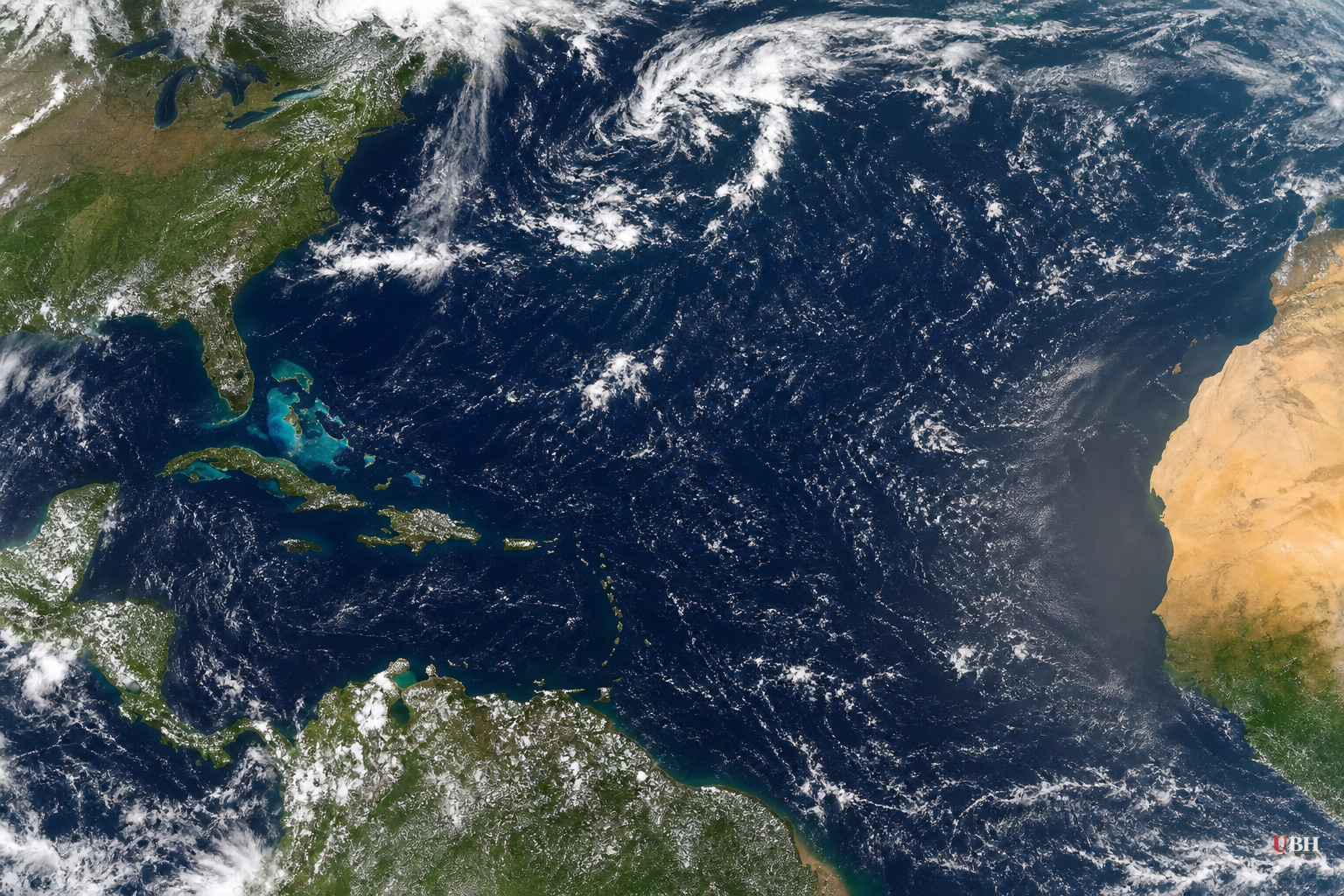
The Atlantic Is Quiet, and It's Not an Accident
As of the July 30 update from Bryan Norcross at FOX Weather, there is no tropical development anywhere in the Atlantic basin, and none expected well into August. Late July into August is when the Atlantic hurricane season typically starts waking up.
This isn't a random lull. Norcross lays out a specific set of atmospheric conditions all pointing the same direction: quiet.
Four Things Are Working Against Storms
First, a channel of strong upper-level winds is parked over the Caribbean and forecast to stay there. Wind shear like that rips apart any disturbance trying to organize into a tropical system.
Second, Saharan dust and dry air are dominating the Atlantic. Dry, dusty air chokes off the moisture tropical systems need to fuel themselves.
Third, water temperatures in the main tropical-development region and the Caribbean are running unusually cool. Warm ocean water is the fuel source for hurricanes. Without it, storms don't get off the ground.
Fourth, the Madden-Julian Oscillation, a large-scale atmospheric pattern that cycles between boosting and suppressing tropical activity, is stuck in suppression mode. Norcross ties that directly to a strong and early-arriving El Nino, which he says is dominating atmospheric patterns across the eastern Pacific and the Atlantic alike.
Florida Is the Exception, and Not in a Good Way
While the broader Atlantic and Caribbean are unusually cool, the waters immediately around Florida are running unusually warm, according to Norcross. That's a big part of why the state is baking through an especially steamy summer.
The National Weather Service has issued warnings for moderate to major heat risk stretching from Florida west through Louisiana along the Gulf Coast, per FOX Weather. Other regions of the country are dealing with extreme heat too, independent of the tropics story entirely.
The irony is stark: the atmospheric setup keeping hurricanes from forming is coinciding with dangerous, health-threatening heat on land. No storms doesn't mean no risk.
Don't Confuse "Quiet Now" With "Quiet All Season"
Norcross is careful to note there's no reason to think this pattern is permanent. Every factor he names, wind shear, dust, cool water, MJO suppression, is a snapshot of current conditions, not a guarantee for the rest of the season.
Hurricane season historically runs through November, and the statistical peak is still weeks away in early-to-mid September. A quiet stretch through the first days of August, even a well-explained one, isn't the same as a forecast for a quiet season overall. El Nino years have historically suppressed Atlantic hurricane activity compared to La Nina years, which lines up with what Norcross is describing, but conditions can and do shift.
What to Watch Next
For anyone in hurricane-prone states, this is a good window, not a green light to stop preparing. Norcross's advice for right now is straightforward: stay cool, stay hydrated, and take the win on the tropics while it lasts.
The open question is how long the current setup holds. If the El Nino-driven suppression that Norcross describes weakens or shifts as the season progresses, particularly once peak season arrives in September, conditions favorable to development could return quickly. There's no indication in current reporting of when forecasters expect that pattern to change, only that it's holding as of late July heading into August.
Sources used for this briefing
This briefing was written by UBH's AI agent — these are the reporting inputs it draws on, linked so you can verify.


