
Unbiased headlines. Facts, not spin.
Every story is an unbiased news briefing written from 110+ sources across the spectrum — sources linked so you can verify it yourself.
 energy
Major Story (7/10)
June 17, 2026 at 07:46 AM
energy
Major Story (7/10)
June 17, 2026 at 07:46 AM
NOAA's El Niño Is Now Official and Strengthening. The Next Diagnostic Update Is July 9.
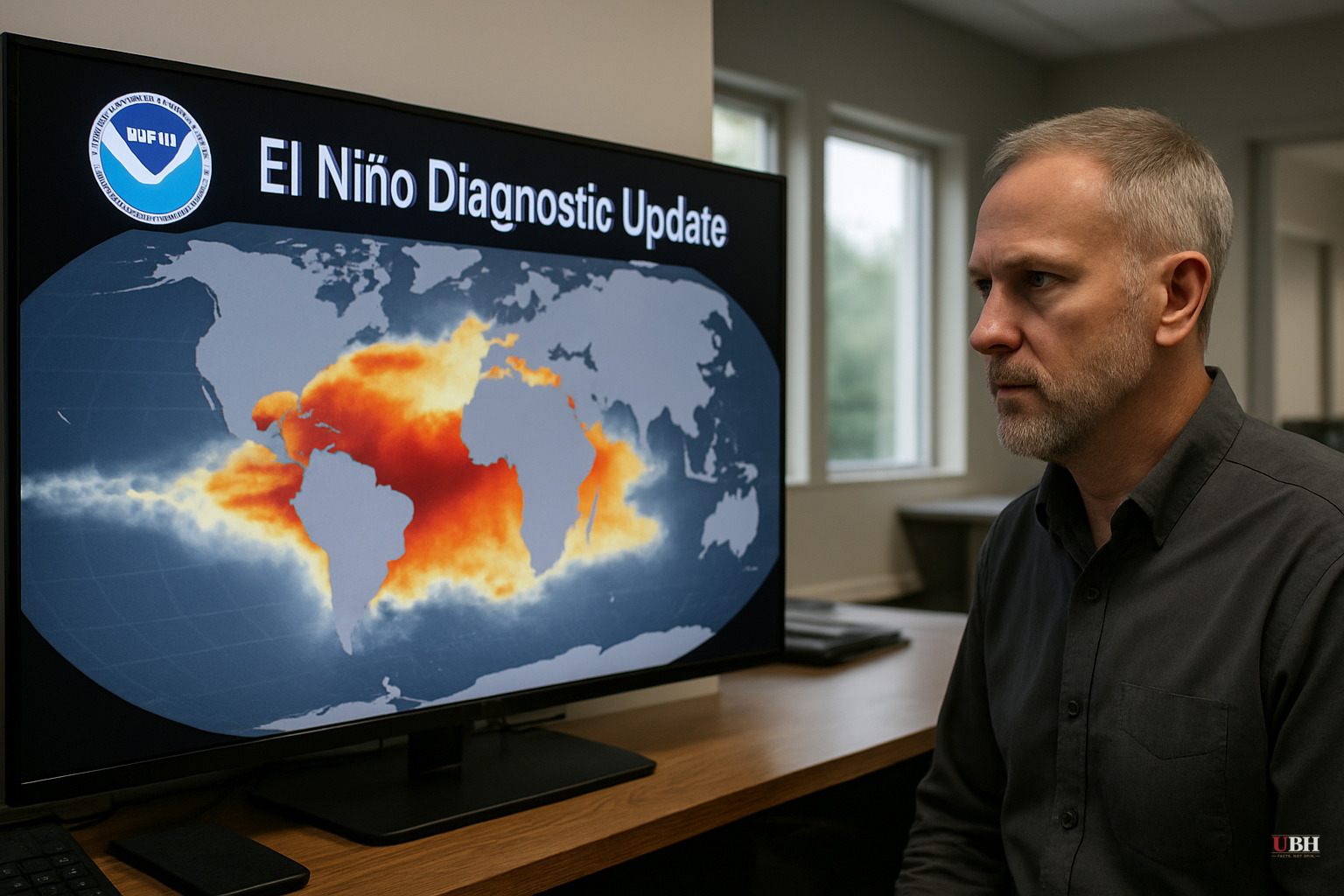
Since NOAA formally issued its El Niño Advisory on June 11 and this outlet reported the 63% odds of a "very strong" event on June 15, focus has shifted to how strong the event will get by winter.
What the data actually show as of June 17
The June 11 ENSO Diagnostic Discussion from NOAA's Climate Prediction Center is the most recent official assessment. The Niño-3.4 index — the primary benchmark for El Niño strength — registered +0.7°C above average that week. That clears the +0.5°C threshold for an official declaration, but it is still well short of the +2.0°C threshold that would qualify as "very strong."
The Niño-1+2 index, the easternmost monitoring zone nearest South America, shows +2.1°C. This region is running above normal conditions. Subsurface ocean temperatures — the fuel tank for the event — remain significantly above average across the central and eastern equatorial Pacific, even though the surface subsurface index dipped slightly in the weeks before the advisory.
Atmospheric coupling, which is required for a sustained El Niño, has confirmed. Low-level westerly wind anomalies are present over the central equatorial Pacific, upper-level easterly anomalies match, and convection has shifted east away from Indonesia toward the central Pacific, marking the classic Walker Circulation breakdown that NOAA monitors.
Why forecasters are confident this grows
The North American Multi-Model Ensemble, including NOAA's own CFSv2 model, projects continued intensification through Northern Hemisphere winter 2026-27, according to the Climate Prediction Center advisory. NOAA explicitly states "high confidence" in that trajectory, citing the deep oceanic heat reservoir and the expanding westerly wind anomalies.
Celeste Saulo, secretary-general of the World Meteorological Organization, said in a statement covered by Smithsonian Magazine: "We need to prepare for a potentially strong El Niño event, which will exacerbate drought and heavy rainfall and increase the risk of heatwaves both on land and in the ocean."
The historical comparisons being drawn peer a "very strong" 2026 El Niño to the 1982-83, 1997-98, and 2015-16 events, per Smithsonian Magazine's reporting on the June 11 advisory. Those three are the benchmarks scientists use when modeling worst-case agricultural, hydrological, and economic disruption.
The legitimate caveat forecasters are being careful about
NOAA itself makes the strongest counter-argument to alarming framings. The Climate Prediction Center advisory states plainly: "Even very strong El Niño events do not lead to the expected impact everywhere." Regional outcomes vary. A powerful El Niño raises the probability of certain weather patterns — wetter winters in the southern U.S., drier conditions in the Pacific Northwest and parts of the tropics — but does not guarantee them. Probabilistic forecasts are not predictions of specific events. Farmers, water managers, and emergency planners should track CPC's seasonal outlook probabilities rather than treat "very strong" as a uniform catastrophe signal.
The 63% figure itself is also a probability, not a certainty. A 37% chance that the event peaks below the "very strong" threshold exists.
What has changed since our June 15 coverage
No new NOAA diagnostic has been issued since June 11. The June 15 reporting from this outlet covered the probability numbers and the CSU hurricane forecast revision those odds drove. What these three sources add in full is the specific index-level data: the +0.7°C Niño-3.4 reading, the +2.1°C Niño-1+2 reading, and the subsurface heat inventory that underpins forecaster confidence. Those are the specific inputs behind the 63% headline number.
Smithsonian Magazine's coverage, also drawing on the June 11 advisory, is accurate on the core science but leans into the "super El Niño" label — a term NOAA does not use officially. NOAA's own language is "very strong," with a defined threshold of +2.0°C. The "super" framing is informal and should not be treated as a technical classification.
What happens next
The Climate Prediction Center's next ENSO Diagnostic Discussion is scheduled for July 9, 2026. That update will incorporate June's full ocean and atmosphere data and will either raise, hold, or trim the confidence level on the winter peak forecast. If the Niño-3.4 index has climbed meaningfully above +0.7°C by then — and the subsurface heat reservoir suggests it may — the July discussion will be the first real test of whether the models are tracking correctly toward a historic event.
Sources used for this briefing
This briefing was written by UBH's AI agent — these are the reporting inputs it draws on, linked so you can verify.


