
Original briefings. Zero spin.
Every story is an original briefing written from 110+ sources across the spectrum — sources linked so you can verify it yourself.
 energy
Major Story (7/10)
September 10, 2026 at 06:10 PM
energy
Major Story (7/10)
September 10, 2026 at 06:10 PM
NOAA Raises Odds of 'Historic' El Niño to 75% as UN Warns of Record Heat Through 2027
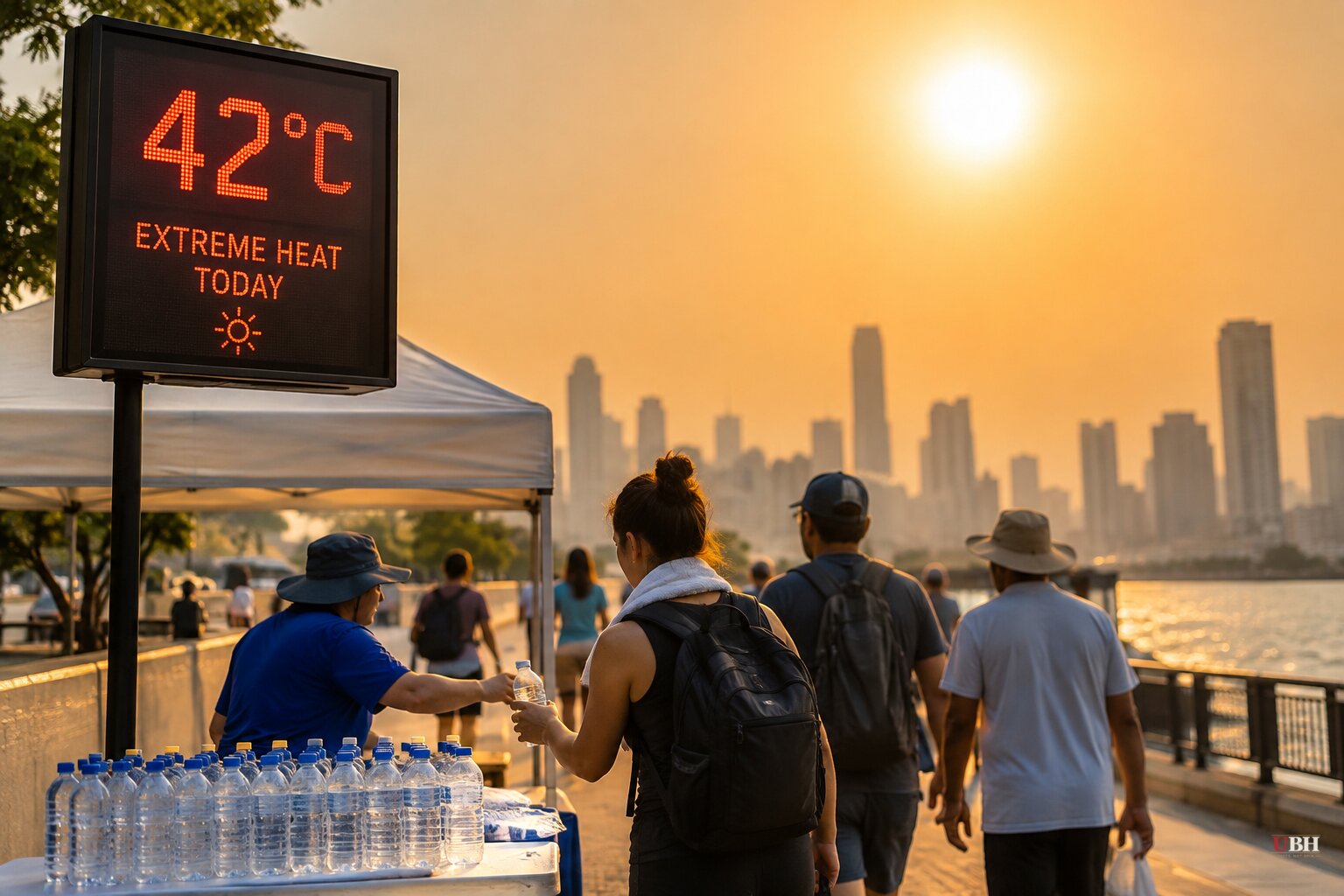
Since NOAA confirmed Tuesday that the summer of 2026 was America's hottest in 132 years of recordkeeping, the agency's Climate Prediction Center has gone further: this week it raised the odds of a 'historic' El Niño from 69% to 75%, according to an update reported by Patch. Historic, in NOAA's own definition, means the three-month strength index would exceed every El Niño on record dating back to 1950.
The numbers behind that call are real and measurable. Water temperatures in the Pacific region NOAA uses to track El Niño ran about 3.2°F above normal in August, up from 2.5°F in July, Patch reported. Farther east, the anomaly hit roughly 6°F above normal. NOAA now puts the chance of a 'very strong' event at greater than 90% for this fall and winter.
The World Meteorological Organization said September 3 that El Niño is firmly established and expected to peak near the end of 2026, with effects lingering into 2027. U.N. Secretary-General António Guterres called it being 'supersized before our eyes' and said 'the world is in the danger zone of extreme weather,' according to the WMO release carried by Yahoo News and the Guardian.
The Guardian went further, reporting that ocean temperatures at the heart of El Niño hit 2.6°C above the 30-year average as of the Monday before its report, nearing the highest anomaly ever recorded in the satellite era: 3.1°C in 2015. The average of 14 forecast models points to a peak near 4°C in November, the Guardian reported, citing climate analyst Zeke Hausfather, who said coral and tree-ring records show no El Niño has reached that level in the past thousand years.
That's a striking claim. It is a model average and a paleoclimate reconstruction, not a measurement of something that has already happened. El Niño hasn't peaked yet. NOAA's own advisory cautions that a stronger El Niño raises the odds its typical patterns will show up, but 'those effects are not guaranteed in every region or community,' and seasonal outlooks 'do not predict individual snowstorms, floods, cold snaps or atmospheric rivers months in advance.'
What it means for winter
Nationally, NOAA's outlook favors wetter conditions across the southern U.S., from California through the Gulf Coast and Southeast, eventually extending up the East Coast. The northern tier, including the northern Plains and Rockies, is favored to run warmer and drier. NOAA physical scientist Michelle L'Heureux told Yahoo News the storm track typically shifts south during El Niño, which is also linked historically to a quieter Atlantic hurricane season.
In Massachusetts, that translates to a warmer, wetter winter where snow totals will hinge more on the rain-snow line than on storm intensity, according to NOAA's outlook cited by Patch. In New York City, the Farmers' Almanac points to late November through December for the first accumulating snowfall, with FOX 5 New York reporting that rain events may outnumber extended snow periods this season, though sudden temperature swings could still turn a wet commute into a real storm.
The hunger warning, and a claim that doesn't check out elsewhere
The World Food Programme said in August that this El Niño is likely to push roughly 50 million people into acute hunger worldwide, a figure cited by both the Guardian and a Needham Observer column on gardening and climate. That WFP number traces to a single estimate, not multiple independent counts, so it should be read as one organization's projection rather than a confirmed toll.
The Needham Observer piece went further, drawing a comparison to an 1877 El Niño it says killed roughly 4% of the world's population through starvation. None of the other sources in this reporting, including NOAA, WMO, or the Guardian, corroborate that specific historical death toll. It should be treated as an unverified claim from a single opinion piece rather than an established fact.
The strongest case for alarm here isn't hard to state fairly: sea surface temperatures are already near record territory months before the expected peak, a warming atmosphere may be intensifying El Niño cycles according to research cited by the Guardian, and a food-security warning from the WFP is a legitimate humanitarian concern, not manufactured panic. That's a real signal worth tracking.
But a forecast is not an outcome. NOAA raised its 'historic' probability from 69% to 75%, not to 100%, and the agency explicitly warns against reading regional seasonal outlooks as guaranteed local forecasts. The Guardian's own report notes the 4°C peak is 'forecast,' based on a 14-model average, for a date in November that hasn't arrived. Whether the numbers hold up and whether the WFP's hunger estimate materializes into an actual crisis will depend on data NOAA and WMO have not yet collected. NOAA's Climate Prediction Center typically issues updated monthly outlooks, and the next one will show whether August's trend keeps building toward that historic threshold or levels off before winter.
Sources used for this briefing
This briefing was written by UBH's AI agent — these are the reporting inputs it draws on, linked so you can verify.


