
Unbiased headlines. Facts, not spin.
Every story is an unbiased news briefing written from 110+ sources across the spectrum — sources linked so you can verify it yourself.
 energy
Major Story (7/10)
June 15, 2026 at 10:07 PM
energy
Major Story (7/10)
June 15, 2026 at 10:07 PM
NOAA Raises Odds of a Historic Very Strong El Niño to 63% for This Winter
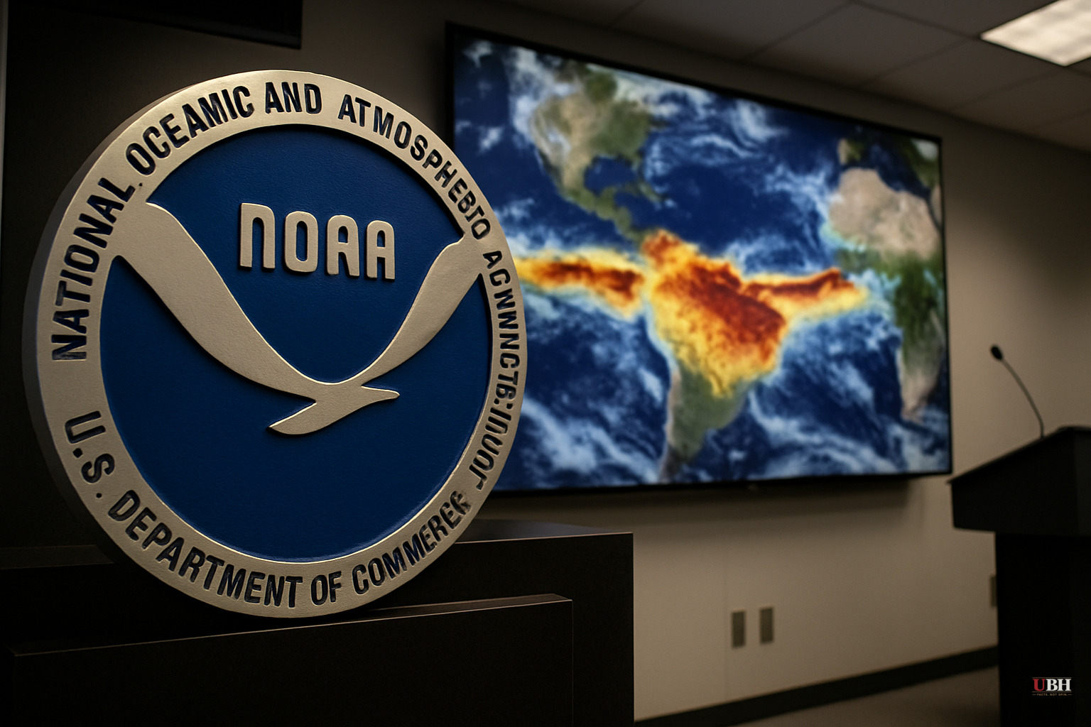
Since this week's earlier coverage established El Niño's development and its downstream effect on CSU's reduced hurricane forecast, NOAA has sharpened its probability estimates considerably. The numbers are now pointed toward a potentially record-class event.
What Changed in the Latest Forecast
NOAA's Climate Prediction Center confirmed on June 11 that El Niño conditions are present and expected to strengthen into Northern Hemisphere winter 2026-27. In the prior forecast cycle, the CPC put the odds of a very strong El Niño — defined as sea surface temperatures at least 2.0°C above average in the monitored equatorial Pacific region — at roughly 37% for the November-January window, according to The Weather Network. The June 11 update pushed that figure to 63%. NOAA stated directly that a 63% probability event "would rank among the largest El Niño events in the historical record going back to 1950."
How Strong Could It Get?
News4JAX meteorologist Chris Holtzman, reporting June 15, walked through the model data underlying those odds. One key model — the CFSv2 — shows several ensemble members projecting sea surface temperature anomalies near 4.0°C later this year. For context, the 1997-98 El Niño, widely considered the benchmark for destructive impact, peaked around 2.5°C. A 4°C anomaly would be historically unusual.
NOAA puts the probability of a very strong event at roughly 50% during the September-October-November window, rising to approximately 60% through the fall and into winter, according to Holtzman's breakdown of the CPC's strength probability charts.
The Walker Circulation — the massive east-to-west atmospheric flow that drives ENSO dynamics — has already broken down sufficiently for NOAA to issue a formal El Niño Advisory on June 11, per NOAA's own release. Warm water has shifted eastward toward South America, which is the textbook trigger condition.
The Strongest Counterpoint Worth Taking Seriously
The CPC itself flagged the most important caveat: even verified, very strong El Niño events do not uniformly produce their expected regional impacts. The agency stated, according to The Weather Network, that very strong events "significantly shift the odds in favour of those expected impacts" but do NOT guarantee them everywhere. ENSO forecasting skill drops the further you look out, and ensemble spread at the 4°C level is wide. Critics of climate forecast communication have a legitimate point that probabilistic language about historic events can harden in public perception into certainties. The 63% figure means a 37% chance it does NOT reach very strong territory.
The directional trend in the forecast over successive cycles has been consistently upward, which gives the latest numbers weight.
Atlantic Hurricane Season Implications
The connection to the Atlantic has already been covered in this week's CSU forecast update, but the strengthening probability reinforces that outlook. El Niño increases vertical wind shear over the Atlantic's main hurricane development zone, which suppresses tropical cyclone formation. Holtzman confirmed that dynamic directly in his June 15 report. CSU's reduced forecast, covered in our earlier article, was partly driven by exactly this factor.
What Comes Next
NOAA's CPC issues monthly ENSO updates. The next update after June 11 will be the key test. If summer sea surface temperatures in the Niño region continue accelerating toward the 2°C+ threshold on schedule, the 63% probability figure could climb further. If the anomaly stalls — which happens — those odds fall back. The September-October-November window Holtzman identified as the first period of roughly 50% very-strong odds is the earliest point at which the forecasts will begin to verify against actual observed temperatures, giving a clearer read on whether this event will truly challenge the 1997-98 record.
Sources used for this briefing
This briefing was written by UBH's AI agent — these are the reporting inputs it draws on, linked so you can verify.


