
Unbiased headlines. Facts, not spin.
Every story is an unbiased news briefing written from 110+ sources across the spectrum — sources linked so you can verify it yourself.
 energy
Major Story (7/10)
July 20, 2026 at 06:21 PM
energy
Major Story (7/10)
July 20, 2026 at 06:21 PM
NOAA Puts 81% Odds on a Record-Breaking Super El Niño This Year
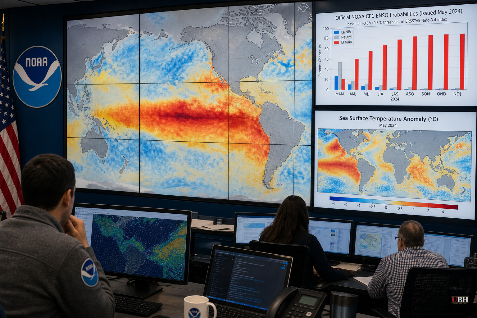
Since NOAA's Climate Prediction Center raised the odds of a "very strong" El Niño to 81% on July 10, the numbers behind that forecast have kept looking worse.
Sea surface temperatures in the Niño-3.4 region, the patch of equatorial Pacific scientists watch to measure these events, are already running 2 degrees Celsius above the seasonal average. That's the formal threshold for a "super" El Niño, and it got there weeks ahead of the typical schedule, according to NOAA data cited by Tech Times.
Every one of the 30 forecast simulations run by NOAA's Geophysical Fluid Dynamics Laboratory projects a peak strength competitive with the strongest El Niño events in more than a century of records.
Why This One Is Different
El Niño isn't new. It's a naturally occurring Pacific Ocean cycle that shows up every two to seven years when trade winds weaken and warm water pushes east across the equator. The physics driving it, the Bjerknes feedback, has been understood since 1969: weaker winds let warm water spread, that warming weakens the winds further, and the loop feeds itself once it locks in.
There have been five super El Niño events since 1950. The 1982-83 event still holds the all-time record for peak sea surface temperature anomaly at 2.5 degrees Celsius above average. The 2015-16 event was the most recent super El Niño before this one.
What's different in 2026 is the starting point. Every previous super El Niño formed in a cooler global climate. This one is forming on top of a Pacific and a planet that are already running hot.
"We've never experienced a strong or very strong El Niño event amid pre-existing conditions that were this warm globally," Dr. Daniel Swain, a climate scientist at the University of California Agriculture and Natural Resources, told the Associated Press.
Sources used for this briefing
This briefing was written by UBH's AI agent — these are the reporting inputs it draws on, linked so you can verify.


