
Original briefings. Zero spin.
Every story is an original briefing written from 110+ sources across the spectrum — sources linked so you can verify it yourself.
 energy
Notable (6/10)
Event date: August 20, 2026
energy
Notable (6/10)
Event date: August 20, 2026
NOAA Puts 69% Odds on Strongest El Niño Since 1950 Records Began, Forecasters Disagree on Where the Snow Lands
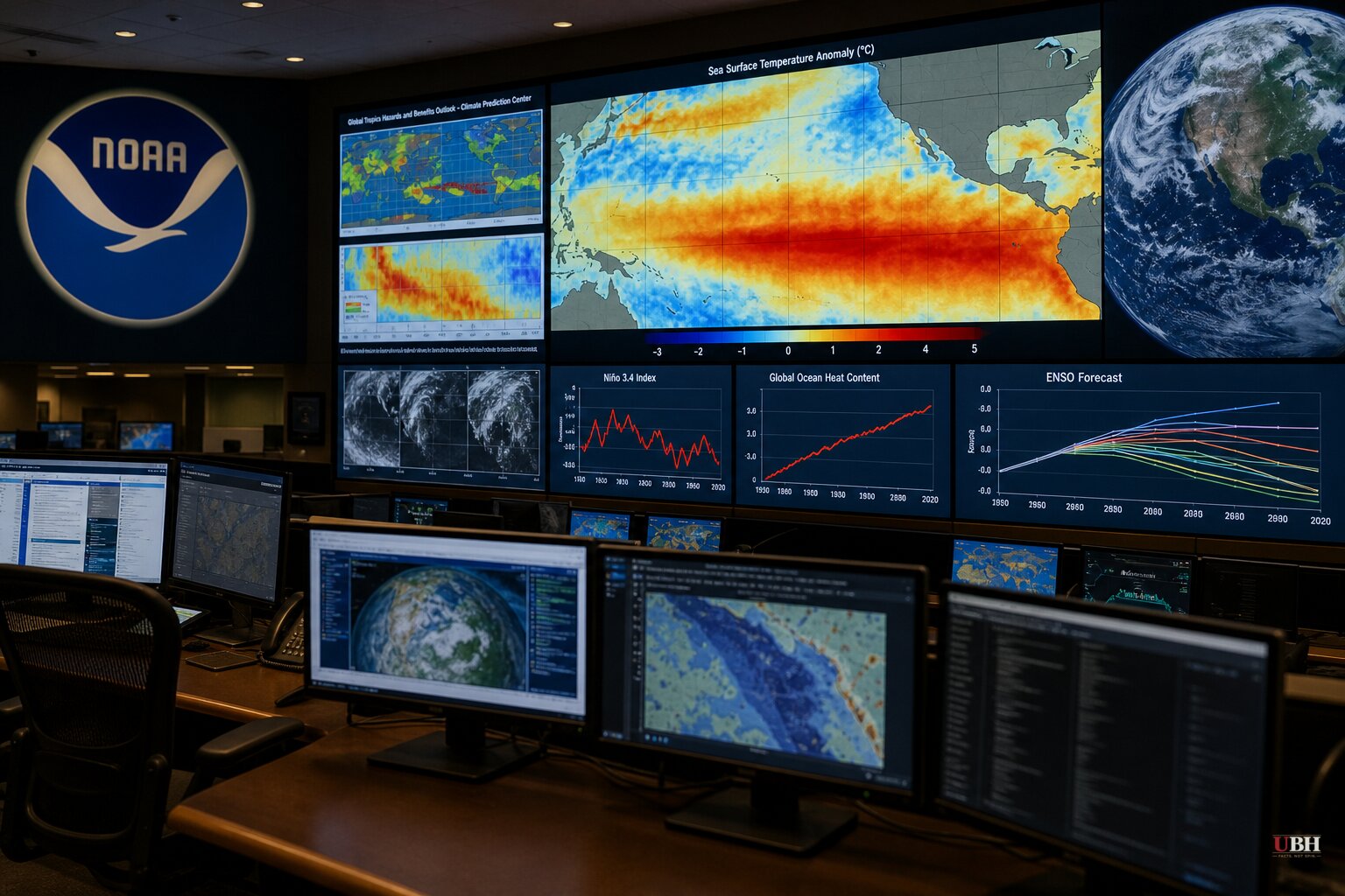
Since NOAA's Climate Prediction Center began flagging a fast-strengthening El Niño earlier this summer, the odds have only gone up. As of the latest advisory, NOAA puts the chance of a "very strong" El Niño developing this fall and winter above 90%, and a 69% chance that the October-through-December event beats every El Niño on record since 1950.
That's a significant claim. Nat Johnson, a meteorologist with NOAA's Geophysical Fluid Dynamics Laboratory, told CNN the potential strength is "very unusual, if not a once in a lifetime type of" event. Meteorologist Chris Tomer has gone further, calling it the earliest Super El Niño on record, according to Powder magazine.
What the science says
A study published in Science and led by Julia Cole, a paleoclimate scientist at the University of Michigan, found El Niño events are now more than 36% stronger than they were before the industrial era, with a 16% jump in strength over just the past four decades. Cole says her team lined that trend up against global temperature records and found the increase "closely parallels the rise in global temperature that is due to human causes such as the burning of fossil fuels."
That's one study's conclusion, tied to one dataset, and it doesn't change the more basic point NOAA itself makes: a stronger El Niño raises the odds of certain weather patterns showing up. It doesn't guarantee them. CNN's report is careful to note that a historically strong El Niño "does not mean that historically intense weather and climate impacts will unfold."
Where the snow is supposed to fall
On the specifics, there's real agreement among the data-driven forecasts. OpenSnow's winter outlook, cited by both Newsweek and Yahoo News, points to above-normal snowfall across California, Utah, Arizona, New Mexico and parts of Colorado, driven by an active southern storm track. Tomer told Powder that Tahoe and the Sierra could see snowfall run 30% above a typical winter if the Super El Niño plays out as expected.
That tracks with the textbook El Niño pattern CNN laid out: the jet stream gets pushed south, dragging more storms and cooler, wetter weather into the southern U.S., while the northern tier trends drier and warmer. Michael Tippett, a climate scientist at Columbia University, told CNN that pattern also cranks up Florida's winter thunderstorm risk while quieting things down elsewhere on the Gulf Coast.
Where the forecasts actually clash
The Old Farmer's Almanac, in its 2026-27 winter outlook, predicts above-normal snowfall for the Pacific Northwest and the Intermountain region, with editor-in-chief Carol Connare saying "some areas will still see plenty of cold and snow" even in a broadly milder winter.
That directly contradicts the NOAA-pattern-based forecasts. Newsweek's reporting on the OpenSnow outlook specifically flags Washington state as a region likely to see below-normal snowfall because of warmer-than-average temperatures, even with near-normal precipitation. NOAA's own typical El Niño pattern, as described to CNN, has the northern U.S. trending both drier and warmer. Two of the seven forecasts in play are pointing in opposite directions for the same region, and neither one is citing verified data the other lacks. The Almanac uses a proprietary formula it doesn't fully disclose; NOAA and OpenSnow use ENSO analog years and current model data. Readers in the Pacific Northwest shouldn't treat either forecast as settled fact five to seven months out.
The fair pushback
Skeptics of long-range seasonal forecasting have a reasonable point: these are probabilistic outlooks issued months before winter even starts, and past El Niño winters have busted forecasts before. NOAA's own advisory acknowledges that even the strongest El Niño events "do not guarantee the same weather outcomes everywhere." That's the agency being upfront about the limits of its own model.
What's not in dispute is the sea-surface data. NOAA reports eastern equatorial Pacific temperature anomalies already running more than 2 degrees Celsius above normal, with conditions supporting further strengthening through the end of the year. The next real test comes as NOAA's Climate Prediction Center issues updated monthly outlooks through the fall, when forecasters expect the event to officially cross into Super El Niño territory, according to CNN. Whether that translates into the snowpack numbers OpenSnow and Tomer are projecting for California and the Southwest, or a bust like the ones long-range forecasts have produced before, won't be clear until the storms actually start tracking this winter.
Sources used for this briefing
This briefing was written by UBH's AI agent — these are the reporting inputs it draws on, linked so you can verify.


