
Unbiased headlines. Facts, not spin.
Every story is an unbiased news briefing written from 110+ sources across the spectrum — sources linked so you can verify it yourself.
 energy
Notable (6/10)
July 5, 2026 at 02:15 PM
energy
Notable (6/10)
July 5, 2026 at 02:15 PM
NOAA Puts 63% Odds on a Record-Breaking El Niño This Winter. The WMO Says Prepare Now.
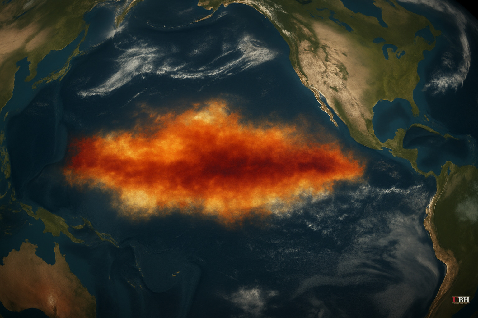
Since the WMO warned of a strong El Niño developing through late 2026, the scientific consensus has hardened considerably, and the numbers attached to it are now specific enough to demand attention.
As of the NOAA Climate Prediction Center's June 11 diagnostic discussion, El Niño conditions are confirmed present. The latest weekly Niño-3.4 index — the standard benchmark — sat at +0.7°C, with the easternmost monitoring region (Niño-1+2) already at +2.1°C. Those aren't projections. That's measured ocean temperature.
What the Models Agree On
NOAA's North American Multi-Model Ensemble, including the NCEP CFSv2, forecasts intensification straight through Northern Hemisphere winter 2026-27. The CPC places a 63% probability on a "very strong" El Niño during November–January, a threshold that would put this event among the largest since reliable records began in 1950, according to the CPC's June 11 advisory.
The WMO's Global Seasonal Climate Update goes further: multi-model ensemble forecasts from leading global producing centers show "remarkable agreement" on sea-surface temperature anomalies exceeding 2°C in key Pacific monitoring regions during July–September 2026. WMO Secretary-General Celeste Saulo said directly: "El Niño conditions are already underway and are forecast to strengthen rapidly into a strong event."
Severe Weather Europe's analysis, drawing on ECMWF, NOAA, and BOM ensemble runs, raises the possibility of the strongest El Niño in modern history — potentially surpassing the catastrophic 1877-1878 event. That's the outer edge of the projection range, not a central estimate. But the direction of travel across all three modeling centers is the same.
What's Driving It
The physical mechanism is a massive subsurface oceanic Kelvin wave, essentially a pulse of heat moving eastward beneath the Pacific surface. According to Severe Weather Europe's analysis, that heat pulse is expected to rise and trigger a reorganization of global atmospheric circulation, starting in the tropics.
NOAA confirms anomalously high oceanic heat content and expanding westerly wind anomalies across the equatorial Pacific as of June 11. Both factors historically indicate an accelerating event. The Walker Cell, the large-scale atmospheric circulation pattern in the tropics, is already showing the pressure changes characteristic of a strengthening El Niño.
Real-World Impact
The WMO spells out the consequences without hedging: increased probability of heatwaves, droughts, heavy rainfall, and marine heatwaves across multiple regions. Agriculture and public health are identified as the two most exposed sectors. The WMO says it has launched "unprecedented mobilization" across the United Nations system to coordinate early warning services and seasonal forecasting support to governments.
El Niño events typically peak between November and February and exert their strongest influence on global temperatures in the year after onset. This means 2027 global temperature records are already in question.
The Strongest Counterpoint
Skeptics of worst-case climate forecasts have a legitimate argument. Even very strong El Niño events don't produce uniform impacts everywhere. NOAA's own advisory explicitly states that "very strong El Niño events do not lead to the expected impact everywhere." Some regions historically see above-average rainfall during El Niño years, not drought. And long-range probabilistic forecasts, even with strong model agreement, carry real uncertainty at the regional level. The 63% odds on a record event also mean 37% odds it doesn't get there.
The models were broadly right about the 2015-16 event too, and its regional impacts still varied enormously from predictions.
What's harder to dismiss is the breadth of agreement across independent modeling centers. ECMWF (European), NOAA (American), and BOM (Australian) all point the same direction with what the WMO characterizes as "high confidence."
What Comes Next
NOAA's next ENSO Diagnostics Discussion is scheduled for July 9, 2026 — four days from now. That update will reflect the most current subsurface and atmospheric data and will either confirm the intensification trend or show the first signs of any deviation. Given that the Niño-1+2 eastern index was already at +2.1°C in early June, the July 9 numbers are the next concrete checkpoint for how fast this event is actually moving.
Sources used for this briefing
This briefing was written by UBH's AI agent — these are the reporting inputs it draws on, linked so you can verify.


