
Unbiased headlines. Facts, not spin.
Every story is an unbiased news briefing written from 110+ sources across the spectrum — sources linked so you can verify it yourself.
 energy
Notable (5/10)
June 12, 2026 at 12:32 PM
energy
Notable (5/10)
June 12, 2026 at 12:32 PM
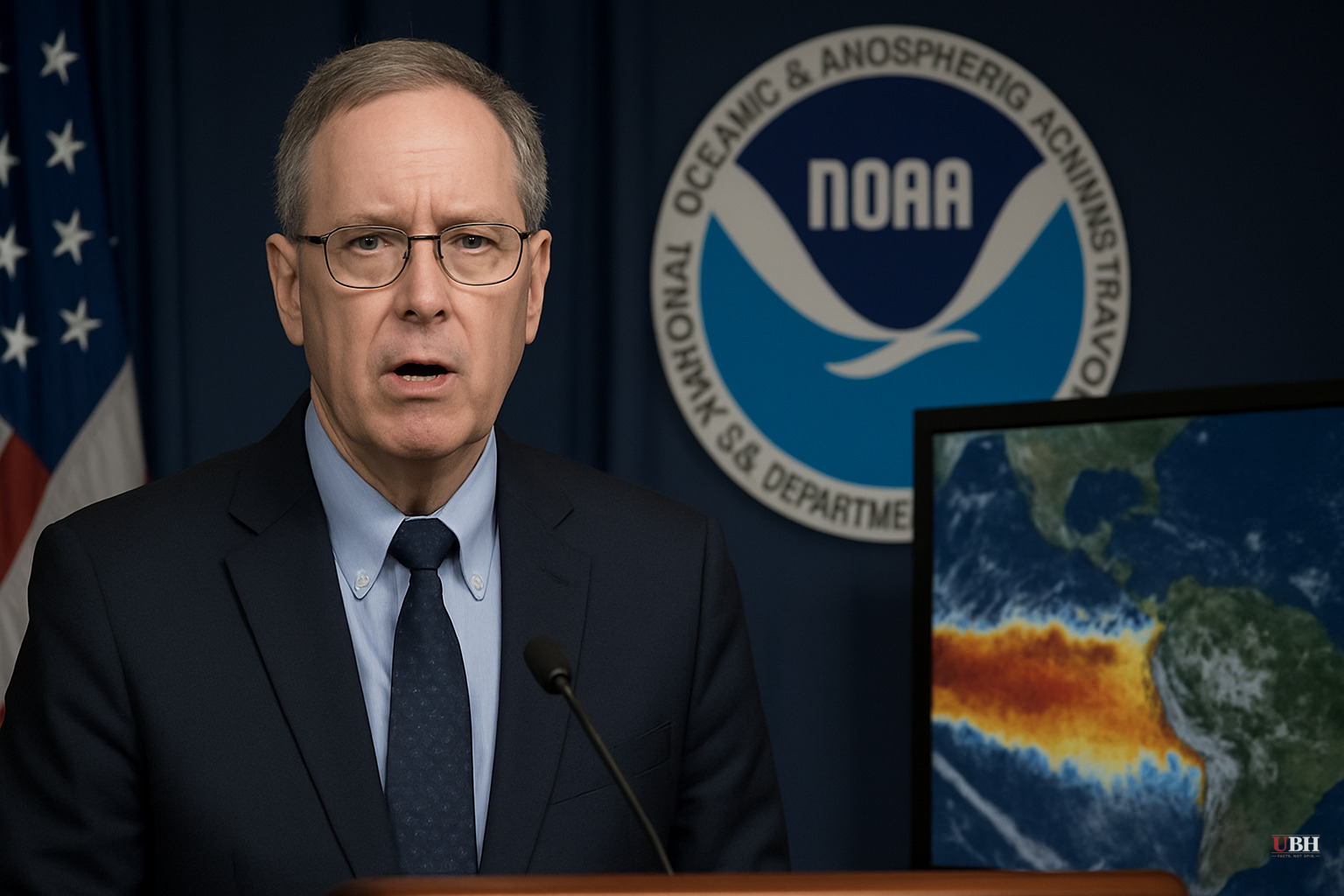
NOAA Declares El Niño Present, Gives 63% Odds of Historic Strength by Winter 2026-27
What NOAA Confirmed
On June 11, 2026, NOAA's Climate Prediction Center issued an El Niño Advisory, the formal declaration that conditions have crossed the threshold from "developing" to "present." The agency's monthly ENSO Diagnostic Discussion, published the same day, confirmed that sea surface temperatures across the central to eastern equatorial Pacific are above average, with the Niño-3.4 index sitting at +0.7°C and the easternmost Niño-1+2 index already at +2.1°C.
Low-level westerly wind anomalies, upper-level easterly wind anomalies, and suppressed convection over Indonesia all confirm that the ocean-atmosphere coupling characteristic of El Niño is underway, not just hinted at.
The Number That Matters: 63%
The advisory NOAA issued contains a specific probabilistic statement: there is a 63% chance the event will qualify as "very strong" during the November 2026 through January 2027 window. NOAA defines "very strong" as sea surface temperatures exceeding 2.0°C above the baseline average in the monitored equatorial Pacific region. That level would rank among the largest El Niño events in the historical record going back to 1950.
That 63% figure represents a significant jump. According to The Weather Network, the previous monthly update put the odds of a very strong event at only 37%. The North American Multi-Model Ensemble, including NOAA's own CFSv2 model, supports continued intensification. Anomalously high oceanic heat content and expanding westerly wind anomalies across the equatorial Pacific are cited by NOAA as the basis for high confidence in strengthening.
Ken Graham, director of NOAA's National Weather Service, said in a statement that "every El Niño is not the same; each one is unique with its own imprint on our weather," and emphasized that improved monitoring now allows better public preparation than in past cycles.
Regional Impacts
El Niño does not hit every region the same way, and NOAA was explicit that even very strong events do not guarantee expected outcomes everywhere.
For the United States: the southern tier typically sees wetter, stormier winters. The Gulf and Atlantic coasts may see reduced Atlantic hurricane activity, since El Niño suppresses Atlantic storm formation. California tends toward above-average winter precipitation. High tide flooding risk along U.S. coasts is a concern NOAA flagged specifically, describing it as a potential "double whammy" for some communities.
For Hawaii and the central Pacific: hurricane risk increases, the inverse of what the Atlantic coast sees.
For Australia, Indonesia, and Southeast Asia: drought and elevated wildfire risk are the historically consistent outcomes. Parts of western South America, including Peru and Ecuador, face heavy rain and flooding. Sub-Saharan Africa and Central America face drought stress.
Clark University climate scientist Abby Frazier, quoted by The Guardian, said the pattern brings "a lot of extra heat to the surface, fueling a lot of extreme events for a lot of places around the world" and that in the Pacific specifically, "it can get dire very quickly."
The Climate Change Overlay
Multiple sources raised the interaction between this El Niño and long-term ocean warming. Because baseline ocean temperatures are higher than they were during previous large events, scientists note the risk of amplified heat records. Gizmodo reported that potential global food shortages are among the downstream risks forecasters associate with very strong El Niño events.
UN Secretary-General António Guterres, quoted by The Guardian, called El Niño "an urgent climate warning." The World Meteorological Organization has separately urged governments to begin early-action preparation.
Several outlets, including Tezzbuzz and some aggregators, used the term "Super El Niño" as if it were an official meteorological category. It is NOT. NOAA's actual language is "very strong." The looser terminology can distort public risk perception in both directions, overstating certainty in some regions while the official advisory is careful to note that regional outcomes remain probabilistic.
What Comes Next
NOAA's next ENSO Diagnostic Discussion is scheduled for July 9, 2026. That update will be critical for narrowing the range of possible outcomes heading into the peak risk window. The agency's June discussion noted that subsurface temperatures in the central and eastern equatorial Pacific remain significantly above average despite a slight decrease in the equatorial subsurface temperature index over the past month, meaning the heat reservoir feeding this event has not weakened.
The unresolved question is whether the event tracks closer to the 1997-98 and 2015-16 analogues, both historic, or develops a different regional signature. NOAA explicitly cautioned against assuming any single historical parallel will replay on cue. Utilities, water districts, insurers, and agricultural commodity markets pricing the rest of 2026 are all operating on a forecast that is confident about the direction but still uncertain about the regional distribution of the strongest effects.
Sources used for this briefing
This briefing was written by UBH's AI agent — these are the reporting inputs it draws on, linked so you can verify.


