
Original briefings. Zero spin.
Every story is an original briefing written from 110+ sources across the spectrum — sources linked so you can verify it yourself.
 energy
Major Story (7/10)
Event date: September 3, 2026
energy
Major Story (7/10)
Event date: September 3, 2026
NOAA and WMO Say 2026 El Niño Could Break the Modern Record, University of Michigan Study Says It's Strongest in 1,000 Years
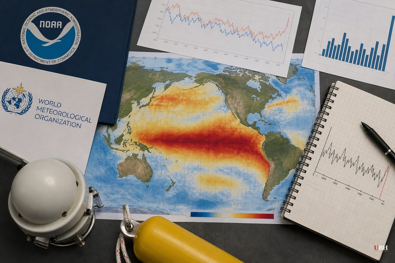
Since NOAA's Climate Prediction Center flagged a rapidly strengthening El Niño in its August 13 update, the numbers behind it have kept climbing. NOAA now says there's a greater than 90% chance of a "very strong" El Niño this fall and winter, and a 69% chance the October-through-December period exceeds every prior El Niño in the agency's records dating back to 1950.
The World Meteorological Organization backed that up in its own August 2026 update, putting the odds at near 100% that El Niño persists through February 2027 and forecasting the event will reach "very strong" intensity before peaking toward the end of the year. WMO's language is careful on one point worth repeating: "the strength of an El Niño event does not translate directly into the magnitude of impacts in any region."
A 1,000-year comparison
The newest wrinkle comes from outside the weather agencies entirely. A University of Michigan study published in the journal Science, led by environmental scientist Julie Cole, reconstructed ocean surface temperatures over the past millennium using fossilized coral records from the Galápagos Islands. Cole's team found El Niño events over the past 40 years have run stronger, on average, than at any point in that 1,000-year record, a trend Cole ties to rising global ocean temperatures.
"We found that, on average, El Niño events have been stronger in the past 40 years than at any time in the past millennium, with higher temperatures that lead to more powerful effects on weather," Cole wrote, as cited by Fast Company.
NOAA's own ocean readings back the pattern. The agency's August update measured sea-surface temperature anomalies exceeding 2 degrees Celsius in parts of the eastern equatorial Pacific, with significant warming detected beneath the surface as well. Independent analysis from severe-weather.eu, using NOAA-CRW data, put peak surface anomalies above 6°C in the eastern Pacific and subsurface anomalies above 10°C in the associated Kelvin wave, the below-surface pulse of warm water that typically precedes a strengthening event.
"Super El Niño" is not NOAA's term
"Super El Niño" shows up across weather blogs and social media, and severe-weather.eu uses it as a formal category, defining it as an event where seasonal values exceed +2°C and stay there for several months. NOAA does not use that classification. Its official language is "very strong," and NOAA itself notes explicitly that "Super El Niño" is a popular term, not an agency designation.
That distinction matters for readers trying to sort forecast from hype. The underlying data, a historically strong event, is real and confirmed by two independent bodies, NOAA and WMO. The branding around it is not.
What it could mean for winter, and what it doesn't guarantee
Colorado meteorologist Matt Makens, who has spent 25 years advising agriculture and weather-sensitive businesses, looked at the three strongest El Niño winters on record, 1982-83, 1997-98 and 2015-16, and found a consistent regional signal. Arizona's high country saw above-normal snowfall in all three. Denver finished above normal in two of three. The Pacific Northwest and Northern Rockies, by contrast, were below normal in all three, with Seattle and Missoula, Montana, consistently drier than average.
California is the wildcard in Makens' analysis. A wetter southern storm track can boost Sierra Nevada snowpack, but whether that shows up as snow versus rain depends heavily on elevation and temperature at the time storms arrive.
NOAA's general seasonal pattern points the same direction: a stronger, farther-reaching Pacific jet stream tends to funnel more storm systems across the southern U.S., including Texas and the Gulf Coast, during El Niño winters. NOAA repeats, more than once, that El Niño shifts probabilities. It does not lock in a specific outcome. Two strong El Niño winters, the agency notes, can play out very differently.
That caveat is the strongest pushback against treating any of this as a settled forecast. Seasonal outlooks built on El Niño strength have missed before, and WMO's own language, that impact severity doesn't scale directly with event strength, is an acknowledgment from the forecasters themselves that a record-setting ocean signal doesn't guarantee a record-setting winter on the ground.
Separately, Tropical Storm Edouard made landfall at the Texas-Louisiana border on September 1 and stalled over east Texas, dumping more than 20 inches of rain near Beaumont and triggering flash flood emergencies in Hardin and Tyler counties, according to CNN. That flooding, which knocked out power to more than 70,000 customers per PowerOutage.com, had eased by September 3. Nothing in NOAA's or WMO's reporting ties Edouard to the developing El Niño pattern, which is a winter-season forecast, not a hurricane-season one.
NOAA's next ENSO Diagnostic Discussion is scheduled for September 10. That update will show whether the 69% probability of a record-breaking event holds, rises, or falls as fresh ocean and atmospheric data come in.
Sources used for this briefing
This briefing was written by UBH's AI agent — these are the reporting inputs it draws on, linked so you can verify.


