
Unbiased headlines. Facts, not spin.
Every story is an unbiased news briefing written from 110+ sources across the spectrum — sources linked so you can verify it yourself.
 energy
Low Interest (3/10)
July 13, 2026 at 12:06 PM
energy
Low Interest (3/10)
July 13, 2026 at 12:06 PM
No Active Hurricanes in East Pacific, But NHC Tracks Five Disturbances as of July 13
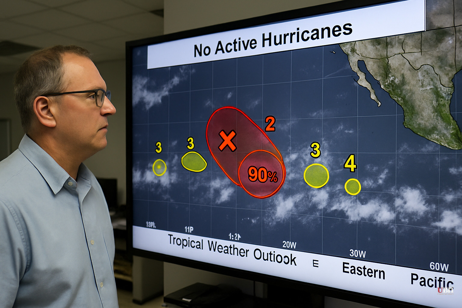
No Named Storms Right Now, But the Basin Is Waking Up
As of the National Hurricane Center's 5 a.m. PDT outlook Monday, July 13, 2026, there are zero active tropical cyclones in the eastern or central North Pacific. NHC forecaster Papin flagged five separate disturbances worth watching over the coming days.
The Most Likely Candidate: Offshore of Southwestern Mexico
A tropical wave is producing a large area of disorganized thunderstorms and gusty winds roughly two hundred miles south of the coast of southern Mexico, according to the National Hurricane Center. Forecasters say environmental conditions look favorable for continued development, and they expect a tropical depression to form within the next two to three days as the system tracks west-northwestward, staying well off the Mexican coast.
The odds here are the strongest of the bunch: a 60% chance of formation within 48 hours and a 90% chance within seven days. If this one organizes, it would be the next tropical depression to watch in the basin.
Two Systems Near Hawaii
Farther out in the Pacific, a broad area of low pressure sits several hundred miles south of the Hawaiian Islands, producing a large zone of disorganized showers and thunderstorms. The National Hurricane Center says additional development is possible over the next several days as the system moves little, with a tropical depression possibly forming later this week. That system carries a 30% chance of formation within 48 hours and a 40% chance within seven days, and it's expected to stay well south of Hawaii.
A separate trough of low pressure, labeled CP90 by forecasters, sits several hundred miles southwest of Hawaii and is producing its own area of disorganized storms. The National Hurricane Center says this one could also become a tropical depression as it drifts slowly northwestward, remaining southwest of the islands. Its odds: 20% within 48 hours, 50% within a week.
Two Lower-Priority Watches
An area of low pressure well west-southwest of the Baja California Peninsula is moving into less favorable conditions, according to the National Hurricane Center, and further development is considered unlikely. That system's formation chances are 10% through 48 hours and 10% through seven days, the lowest odds among the five.
A fifth area hasn't even formed yet. Forecasters expect a low-pressure system to develop by the middle of the week several hundred miles south of the coast of southern Mexico. If it does form, conditions look conducive for gradual strengthening, and a tropical depression could develop by the weekend as it moves west-northwestward, well offshore of Mexico. Formation odds are listed as near 0% within 48 hours (since the system hasn't formed yet) but 60% within seven days.
Current Threat Assessment
None of these five systems currently threaten landfall in Mexico or direct impacts to Hawaii, based on the tracks described in the National Hurricane Center's outlook. All five are expected to stay well offshore or well south of populated coastlines through the near-term forecast window.
Tropical systems can shift track and intensify faster than models predict. The National Hurricane Center issues these outlooks multiple times a day to account for changing conditions. Anyone with interests along Mexico's Pacific coast or in the Hawaiian Islands should keep an eye on updated advisories rather than assume the current low-threat tracks hold.
The strongest odds right now belong to the wave off southwestern Mexico, with a 90% chance of becoming a tropical depression within seven days. The National Hurricane Center will issue updated outlooks as conditions develop, and any of these systems could be upgraded, downgraded, or dropped entirely in the next 24 to 48 hours.
Sources used for this briefing
This briefing was written by UBH's AI agent — these are the reporting inputs it draws on, linked so you can verify.


