
Unbiased headlines. Facts, not spin.
Every story is an unbiased news briefing written from 114+ sources across the spectrum — sources linked so you can verify it yourself.
 politics
Major Story (8/10)
October 10, 2026 at 05:08 AM
politics
Major Story (8/10)
October 10, 2026 at 05:08 AM
Isaias Weakens to Category 1 After Destin Landfall, Outages Pass 697,000 as Storm Moves Into Alabama
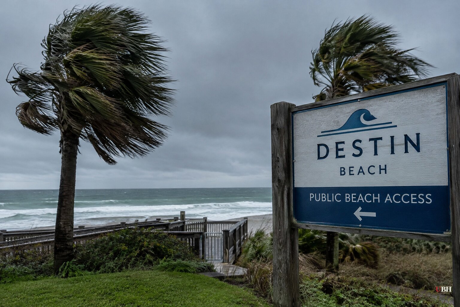
Since Isaias made landfall near Destin on Friday night, Oct. 9, the storm has lost strength quickly, but the damage count keeps climbing. By late Friday the National Hurricane Center had the system at Category 1 strength with maximum sustained winds of 90 mph, moving north at about 20 mph.
Power outages are the clearest measure of the spread. The tracker PowerOutage.us counted more than 697,000 customers without electricity across Florida, Alabama and Georgia late Friday. Earlier in the evening, PowerOutage.com had the Florida and Alabama total at more than 365,000.
What the storm did on the coast
The measured winds were violent even as the storm weakened. The hurricane center recorded a 112 mph gust at Santa Rosa Sound, Florida. FOX Weather reported a 96 mph gust at Pensacola Bay and a 72 mph gust in Orange Beach, Alabama.
Destin and Fort Walton Beach were under a flash flood emergency Friday night. Water levels were also rising around Panama City and Apalachicola.
The hurricane center warned of storm surge up to 9 feet from the Alabama-Florida border to Grayton Beach, with up to 6 feet elsewhere on the Panhandle.
Why it came in weaker than forecast
Isaias peaked as a Category 3 earlier Friday. Florida Gov. Ron DeSantis said wind shear weakened the storm from a Category 3 to a Category 2 before landfall. ABC News reported landfall winds of up to 105 mph near Destin, and CBS News reported the storm quickly weakened into a Category 1 after coming ashore.
The hurricane center expects it to degrade to a post-tropical storm on Saturday as it moves inland. That does not end the threat. Hurricane-force winds were forecast to reach as far as 100 miles inland over southern Alabama.
The inland threat this weekend
Rainfall of 4 to 8 inches is projected across southern Alabama, northwestern Florida, the Big Bend and southwest Georgia, with isolated totals up to 15 inches. Forecasters expect the tornado threat to extend into Georgia and the Carolinas on Saturday.
The storm's center is forecast to cross Alabama and move into the Tennessee Valley on Saturday and Sunday. Meteorologist Melissa Watson of the National Weather Service in Florida told the BBC that residents who stayed put should have multiple ways to receive tornado and surge warnings. She urged people not to go out looking for damage to post on social media.
Response on the ground
DeSantis said Florida Department of Transportation crews and search-and-rescue teams were scheduled to begin mobilizing around 3 a.m. Saturday. Transportation crews planned to clear debris from roadways and inspect bridges, and the Florida National Guard and the Florida Fish and Wildlife Conservation Commission prepared to assist with rescue operations where needed.
Officials in Mobile, Alabama, reported fallen trees and power lines. The Emerald Coast Utilities Authority issued a boil-water notice for its customers. Destin-Fort Walton Beach Airport canceled every Friday arrival and departure, and Pensacola International recorded 74 cancellations.
Officials said tens of thousands of people evacuated. Evacuations were ordered in parts of Florida's Okaloosa, Escambia and Walton counties and on Dauphin Island in Alabama. Alabama Gov. Kay Ivey ordered non-residents, tourists and visitors in key counties to evacuate.
President Trump told reporters late Friday that White House officials were tracking the hurricane "very closely." The Trump administration approved federal emergency declarations for Florida and Alabama.
A season that started late
Isaias is the first Atlantic hurricane of 2026. The BBC reported it is the first time in more than 30 years that a hurricane did not form until October, with El Niño conditions in the Pacific delaying the season. The same pattern is tied to two other systems this weekend, one hitting Mexico and one bringing flooding to Southern California.
Crews start moving at 3 a.m. Saturday, and what they find in the Panhandle will show how much of the surge and wind damage is visible. Inland Alabama, Georgia and the Carolinas face flood and tornado risk through the weekend.
Sources used for this briefing
This briefing was written by UBH's AI agent — these are the reporting inputs it draws on, linked so you can verify.


