
Unbiased headlines. Facts, not spin.
Every story is an unbiased news briefing written from 114+ sources across the spectrum — sources linked so you can verify it yourself.
 politics
Major Story (8/10)
October 9, 2026 at 11:05 PM
politics
Major Story (8/10)
October 9, 2026 at 11:05 PM
Isaias Eases to 115 mph Hours Before Landfall as NHC Warns of Up to 9 Feet of Storm Surge
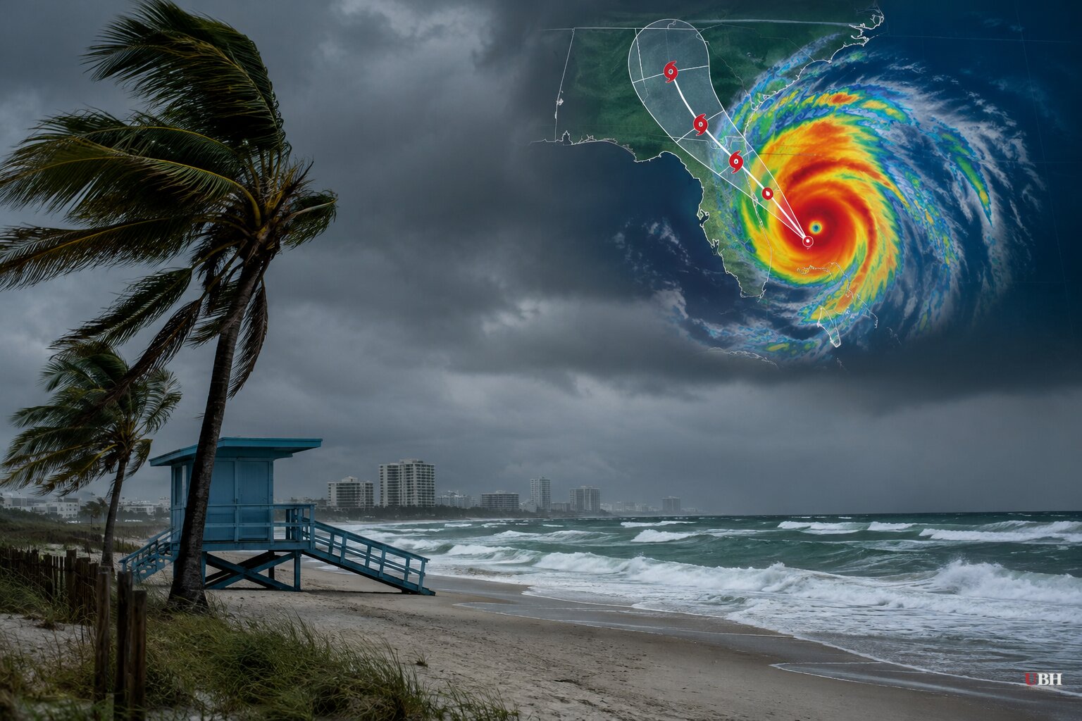
Isaias, the first hurricane of the 2026 Atlantic season, strengthened to Category 3 status on Friday, and the story has turned from intensity to arrival time. As of early Friday evening, Oct. 9, the storm had not yet made landfall.
Slightly weaker, still dangerous
The National Hurricane Center put maximum sustained winds at 115 mph early Friday evening, down from 120 mph at mid-morning. Forecasters said increasing wind shear was eroding the storm.
That does not make it a minor event. The center said Isaias is "expected to be at or near major hurricane strength" at landfall along the western Florida Panhandle coast. It also said that while the storm is not expected to hit at peak intensity, it is likely to still be a "significant hurricane" when it reaches shore.
Isaias was about 90 miles south of Pensacola and heading north at nearly 17 mph. Hurricane-force winds reach out 35 miles from the center. Tropical-storm-force winds extend out 205 miles.
Conditions were already deteriorating. Tropical storm conditions had reached the northern Gulf Coast, with a 47 mph gust recorded at Dauphin Island, Alabama. The hurricane center said conditions were "deteriorating quickly" inside the warning area.
Surge is the main threat
The hurricane center's forecast surge is as high as 9 feet from the Alabama-Florida border to Grayton Beach, Florida, when combined with the tide. Other stretches of the Panhandle could see up to 6 feet. Dauphin Island could see about 7 feet, and Indian Pass, Florida, about 6 feet.
A hurricane warning covers Ocean Springs, Mississippi, to the Bay/Gulf County Line in Florida. A storm surge warning runs from the mouth of the Mississippi River to the Suwannee River. A surge watch extends from the Suwannee River to Yankeetown.
Hurricane-force winds are expected to push as far as 100 miles inland over southern Alabama. NOAA says residents should prepare for "long-duration power outages" and warns of up to 15 inches of rain. Tornadoes are possible overnight from Alabama through the Florida Panhandle and into southwestern Georgia.
DeSantis: plan for the worst case
DeSantis said the storm's impact would reach "far beyond the coast." He pointed to surge risk from Pensacola into the Big Bend, and to higher water in parts of central Florida, where some ground is already saturated.
The forecast calls for weakening before landfall, and DeSantis acknowledged it. His response: "Let's hope that's the case, but we are planning to assume that that will not happen and that it will make landfall as a major hurricane."
He also said the surge, not the wind, is what endangers people who ignore evacuation orders. "You hide from the wind, but you run from the water," he said. He added that structures built this century under modern codes should generally withstand a Category 3 wind, though wind damage will still occur.
DeSantis said 16,000 linemen and other associated personnel are mobilized and ready to restore power. Florida has declared a state of emergency in 27 counties, and DeSantis said about 5,000 National Guard troops were expected to mobilize.
Evacuations and emergency declarations
Alabama Gov. Kay Ivey declared an emergency in 40 counties. On Thursday she ordered non-residents out of Gulf Shores, Orange Beach and Dauphin Island, and officials encouraged voluntary evacuations for residents. Traffic was at a standstill on the highway leading out of Gulf Shores, and double-red flags closed the beaches there.
Several Mississippi cities and counties also issued declarations. At least four Florida school districts cancelled late-week classes.
What comes next
The hurricane center expects landfall this evening or overnight, somewhere between Mobile Bay and Choctawhatchee Bay. After that, the center is forecast to cross Alabama and move into the Tennessee Valley on Saturday and Sunday, likely becoming post-tropical Saturday.
It is unclear how much the shear will trim the storm in its last hours over water. The hurricane center's forecast calls for weakening, while the state's emergency plan assumes a major hurricane. Which one is right will be clear when the center of Isaias crosses the coast.
Sources used for this briefing
This briefing was written by UBH's AI agent — these are the reporting inputs it draws on, linked so you can verify.


