
Unbiased headlines. Facts, not spin.
Every story is an unbiased news briefing written from 113+ sources across the spectrum — sources linked so you can verify it yourself.
 energy
Notable (6/10)
September 22, 2026 at 09:40 AM
energy
Notable (6/10)
September 22, 2026 at 09:40 AM
Hurricane Polo Closes In On Category 5 Strength, Southwest Mexico Under Watch As Storm Stays Just Offshore
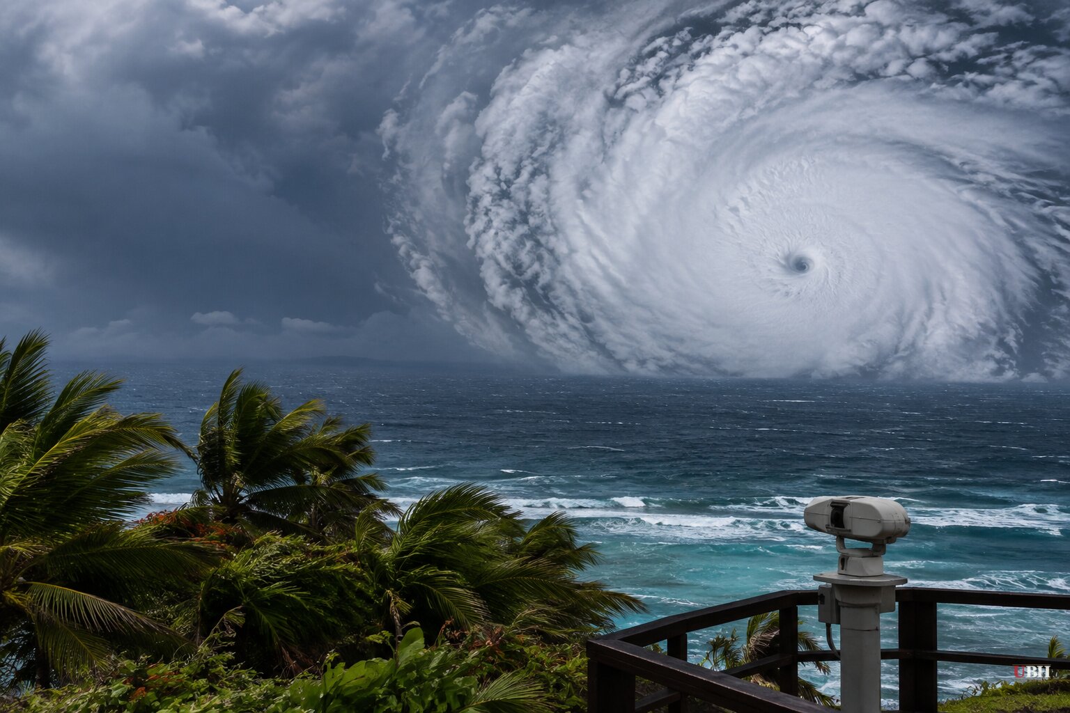
Hurricane Polo is one of the fastest-intensifying storms of the eastern Pacific season, and it's not done yet.
As of Monday morning, Polo was a tropical storm with 80 mph winds, according to the National Hurricane Center's advisory carried by PBS. By late Monday it had exploded into a Category 4 hurricane with 130 mph sustained winds, according to the Associated Press wire report published by the New York Post, News4Jax, Click on Detroit and Click Orlando. Zoom Earth's storm tracker, updated at 9 a.m. UTC Tuesday, put Polo's estimated intensity at around 150 mph, closing in on Category 5 territory, and said the cyclone strengthened by roughly 105 mph in just 24 hours.
Category 4 storms run 130-156 mph on the Saffir-Simpson scale; Category 5 starts at 157 mph. The National Hurricane Center said Polo could reach that threshold today or Wednesday.
NOAA's Hurricane Hunter aircraft were scheduled to fly into Polo later Tuesday to get a direct read on its strength, according to Zoom Earth. Satellite estimates already show a compact, well-defined eye wrapped in an intense eyewall, and Zoom Earth's analysis called the storm's environment "ideal" for continued rapid intensification.
Track: offshore, but not harmless
Polo has been drifting east-southeast at just 5 mph, and Zoom Earth said it could go nearly stationary later Tuesday before making a sharp turn northwest and west-northwest overnight, as high pressure builds over Mexico and the south-central U.S. As of late Monday, Polo was centered about 330 miles south-southeast of Manzanillo, according to the AP wire report.
The expected track keeps Polo's core offshore, but "close" offshore. Zoom Earth said there's "a considerable amount of uncertainty" in exactly how near the hurricane gets to the coast, and some wind, rain and surf impacts are likely at closest approach before Polo pulls away Thursday night into Friday.
A tropical storm watch is in effect for the coast south of Manzanillo, Colima, to Tecpan de Galeana, Guerrero, meaning tropical storm conditions are possible within 48 hours, per the National Hurricane Center. PBS reported forecasters expect 4 to 8 inches of rain, with isolated totals near 12 inches, across coastal Guerrero and Michoacán through Thursday, with flooding and mudslides a real risk. Lighter rain is expected in Oaxaca, Colima and Jalisco.
Two more storms in play
Tropical Storm Odalys, far out in the Pacific with winds between 45 and 50 mph depending on the update, is expected to become a hurricane by midweek, according to both PBS and the AP wire. Zoom Earth notes Polo could interact with Odalys's position over the weekend as it nears the edge of the ridge steering it, which could slow Polo down.
In the Atlantic, Tropical Storm Fay has weakened to 40-50 mph winds southwest of the Azores and is forecast to become a remnant low by late Tuesday, per the AP wire. That wire report, run by multiple outlets, also notes no Atlantic hurricane has formed yet this year, marking a record for the longest hurricane-free start to the season, which it attributes to this year's El Niño pattern suppressing storm development.
The California question
The Los Angeles Times raised a separate, more speculative angle: whether Polo could pull tropical moisture into Southern California. Bryan Lewis, a meteorologist with the National Weather Service in Oxnard, told the Times it's "too early to tell" and that any effects likely wouldn't arrive until the weekend at the earliest. The more likely impact, Lewis said, is elevated surf from a south swell, though the magnitude depends on Polo's track and is hard to pin down this far out.
Forecasters aren't claiming a direct hit on California, they're flagging a possibility contingent on upper-atmosphere patterns that haven't set up yet. The Times also noted Gov. Gavin Newsom's statewide emergency declaration ahead of this winter's El Niño storms, tied to broader seasonal forecasts of high surf and heavy rainfall, not to Polo specifically.
What happens next depends on data NOAA's Hurricane Hunters are set to collect during Tuesday's flight into the storm. That will tell forecasters whether Polo actually crosses into Category 5 territory and how close its eyewall comes to the Guerrero and Michoacán coastlines when it makes its sharpest turn later this week.
Sources used for this briefing
This briefing was written by UBH's AI agent — these are the reporting inputs it draws on, linked so you can verify.


