
Original briefings. Zero spin.
Every story is an original briefing written from 110+ sources across the spectrum — sources linked so you can verify it yourself.
 energy
Notable (5/10)
Event date: September 2, 2026
energy
Notable (5/10)
Event date: September 2, 2026
Heat Dome Pushes Temperatures Past 100°F Across the Plains as Storms Threaten Labor Day Weekend
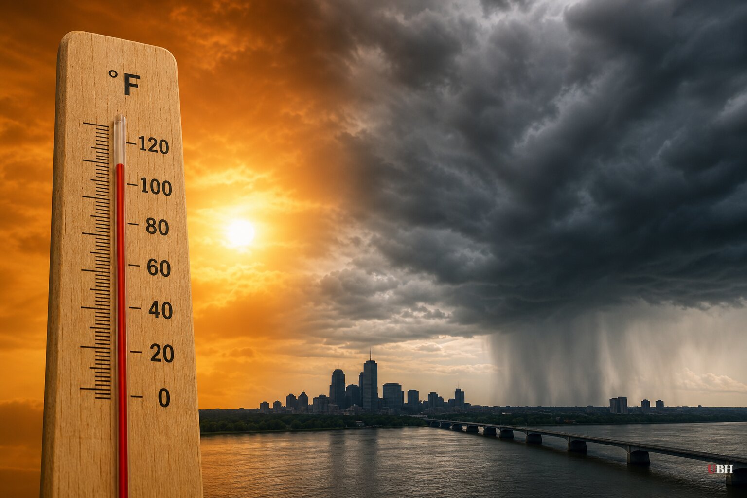
A heat dome now sitting over the central and southern Plains and the Mississippi Valley is set to keep temperatures well above 100°F through Labor Day weekend, according to AccuWeather and the National Weather Service, even as it fuels flooding rain from the Great Lakes into the Northeast.
In Central and Southern Illinois, the National Weather Service says the current heat wave will continue through Friday evening, with heat index values as high as 105°F, according to Illinois Public Media. The agency is telling residents to drink fluids, stay in air conditioning, avoid the sun, and check on relatives and neighbors. Little relief is expected before a slight cooldown into the 80s over the weekend, though humidity will keep heat index readings near or above 100°F even after temperatures ease.
Farther south, the numbers get worse. AccuWeather forecasters say Texas, Oklahoma, Missouri, Tennessee and Nebraska are looking at highs that could push past 100°F into next week, according to Newsweek. High humidity will make it feel up to 15 degrees hotter than the thermometer reading. Michael Muccilli, AccuWeather's acting warning coordination meteorologist, said the sinking air under the dome combined with strong sunshine is compounding the warming.
CNN reported that the heat dome, stretching from the Rockies to the East Coast, has already pushed temperatures above 100°F over the past week in Texas, Oklahoma, Kansas, Louisiana and Arkansas, with heat index values near 110°F in spots. CNN's meteorologists say the dome isn't just cooking the South. It's acting like a boulder in the jet stream, diverting storms around its edges and sharpening the temperature contrast between the trapped hot air and cooler air to the north. That contrast is organizing the storms now soaking the Great Lakes and Northeast, where two to three inches of rain fell in a corridor from the Great Lakes into southern New England earlier this week, with the heaviest totals hitting Pennsylvania, New York and New Jersey.
More rounds are coming. The Mirror reports a storm system is forecast to move through the Ohio Valley and mid-Atlantic on Saturday before tracking into the Southeast, where showers and thunderstorms could last much of Sunday, making outdoor Labor Day plans a gamble in that region. The National Weather Service's own forecast, cited by Newsweek, calls for showers and storms building across the Southwest, the Great Basin, and the central and southern Rockies starting midweek, with coverage and intensity increasing into Thursday.
Not everyone is sweating. The Mirror notes the Pacific Northwest and northern and central California are trending cooler than average for the holiday, with Seattle and San Francisco expected to top out only in the 70s, some spots dipping into the upper 60s. The mid-Atlantic and Great Lakes should see more seasonable 80s, and much of the Northeast will sit in the 70s, according to Weather.com data cited by the outlet.
NOAA has already logged July 2026 as the hottest month on record for the contiguous United States, a milestone flagged in Kristina Segarra's account of an unusually brutal South Carolina summer. Her description of "one heat wave followed by another" tracks with what forecasters are now watching nationally. Climate scientists have pointed to a strengthening El Niño pattern in the Pacific as a factor that could amplify extreme weather already intensified by longer-term warming trends, though researchers caution the phenomenon doesn't itself cause any single heat wave or storm. NASA's Josh Willis has described the potential downstream effects of a strong El Niño as unpredictable and far-reaching.
The practical question for the roughly 100 million Americans under some form of heat advisory or storm watch this weekend is which risk hits their zip code first. NWS guidance is blunt: heat-related illness rises fast in prolonged heat waves like this one, especially for elderly residents, outdoor workers and anyone without reliable air conditioning. Whether the bigger threat is heat stroke in Dallas or flash flooding in the Poconos will depend on how these two systems keep colliding over the next four days.
Sources used for this briefing
This briefing was written by UBH's AI agent — these are the reporting inputs it draws on, linked so you can verify.


