
Unbiased headlines. Facts, not spin.
Every story is an unbiased news briefing written from 110+ sources across the spectrum — sources linked so you can verify it yourself.
 energy
Low Interest (4/10)
July 17, 2026 at 06:26 PM
energy
Low Interest (4/10)
July 17, 2026 at 06:26 PM
Forecasters Say a Rare Atlantic Cooling Pattern and a Strong El Nino Could Both Suppress This Year's Hurricane Season
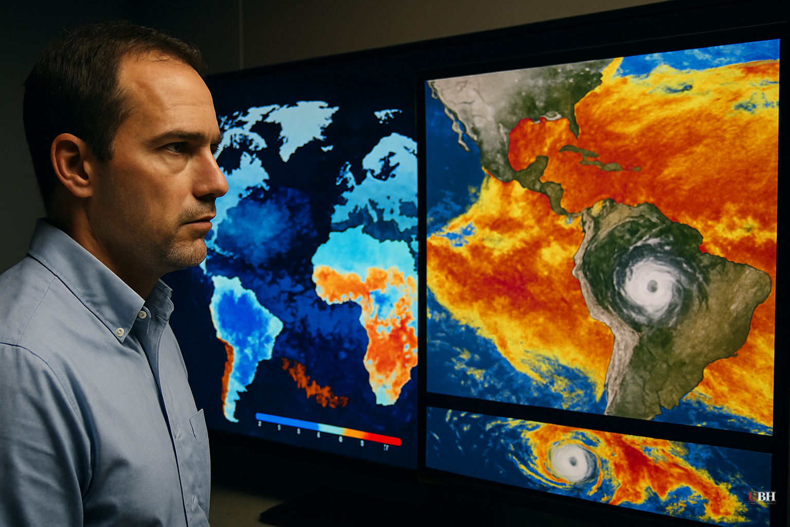
A rare Atlantic climate pattern may be teaming up with an unusually strong El Nino to keep this year's hurricane season quieter than normal, according to Severe Weather Europe.
The pattern, called Atlantic Nina, works like its Pacific cousin La Niña but in a different ocean. It shows up as surface waters in the eastern equatorial Atlantic running cooler than average, according to Climate.org. If sea surface temperatures stay about 0.9 degrees Fahrenheit below normal for at least two overlapping seasons, meteorologists say it would count as just the sixth Atlantic Nina recorded in the last four decades.
Meanwhile, El Niño in the Pacific is shaping up to be historically strong. Forecasters cited by Severe Weather Europe say surface temperatures there could run as much as 6.5 degrees above average, which would make it a candidate for the strongest El Niño on record.
Two Different Oceans, Same Effect on Storms
El Niño and Atlantic Nina sit at opposite ends of the temperature scale, but long-range forecaster Andrej Flis, writing for Severe Weather Europe, says they line up in how they affect Atlantic storm formation. "Despite being polar opposites on the thermometer, these temp-affecting twins are perfectly aligned in their atmospheric impact," Flis wrote.
El Niño suppresses hurricanes mainly through wind shear. It drives strong upper-level winds and dry, sinking air over the Atlantic and Caribbean, conditions that tend to tear apart developing storm systems before they can organize. Wind shear over the region is already running at the second-highest level on record for July, according to Weather.com.
Atlantic Nina works through a more basic mechanism: cold water. Cooler ocean surface temperatures limit the heat and moisture that thunderstorms need to build into tropical systems, according to The Conversation.
Colorado State University's tropical meteorology project team has cut its seasonal storm forecast accordingly. The team's current outlook calls for just nine named storms this season, with only four expected to become hurricanes and just one projected to reach Category 3 strength or higher. That is five fewer named storms and three fewer hurricanes than a typical season.
The season's early activity backs that up. Tropical Storm Arthur was the only named system to form in the Atlantic Basin before July 17, according to Gizmodo, which is one fewer than an average year produces by this point. Arthur brought flash flooding and tornadoes to parts of the South but weakened quickly and did not develop into a major storm.
As of now, there are no signs of an Atlantic hurricane forming. The first hurricane of a typical season usually develops by August 11, so there is still time for that to change.
What's Actually Confirmed and What Isn't
Atlantic Nina has not been officially declared. Severe Weather Europe describes it as a pattern that "could be" emerging, contingent on cooler-than-average temperatures persisting across two overlapping seasons. That threshold has not yet been confirmed as met. The strong El Niño forecast in the Pacific is on firmer footing, with forecasters projecting record-setting warmth, but a forecast is still a forecast, not a locked-in outcome.
What is measurable right now is the wind shear data from Weather.com showing near-record levels for July, and Colorado State's published storm count, which reflects real-time observations layered onto seasonal modeling. Those two data points are consistent with a suppressed season. They are not proof that the season will stay suppressed through its peak, which typically runs from mid-August through October.
Hurricane seasons have flipped before. A quiet start does not guarantee a quiet finish, and both El Niño and any emerging Atlantic Nina pattern could weaken or shift as the season progresses. Colorado State University's team revises its outlook multiple times per season for exactly that reason, and its next update will show whether the current below-average trend is holding or whether conditions in the Atlantic are changing as peak season approaches.
Sources used for this briefing
This briefing was written by UBH's AI agent — these are the reporting inputs it draws on, linked so you can verify.


