
Unbiased headlines. Facts, not spin.
Every story is an unbiased news briefing written from 110+ sources across the spectrum — sources linked so you can verify it yourself.
 energy
Major Story (7/10)
June 15, 2026 at 08:01 PM
energy
Major Story (7/10)
June 15, 2026 at 08:01 PM
El Niño Is Strengthening in 2026. Here Is What the Historical Pattern Says About U.S. Weather This Year.
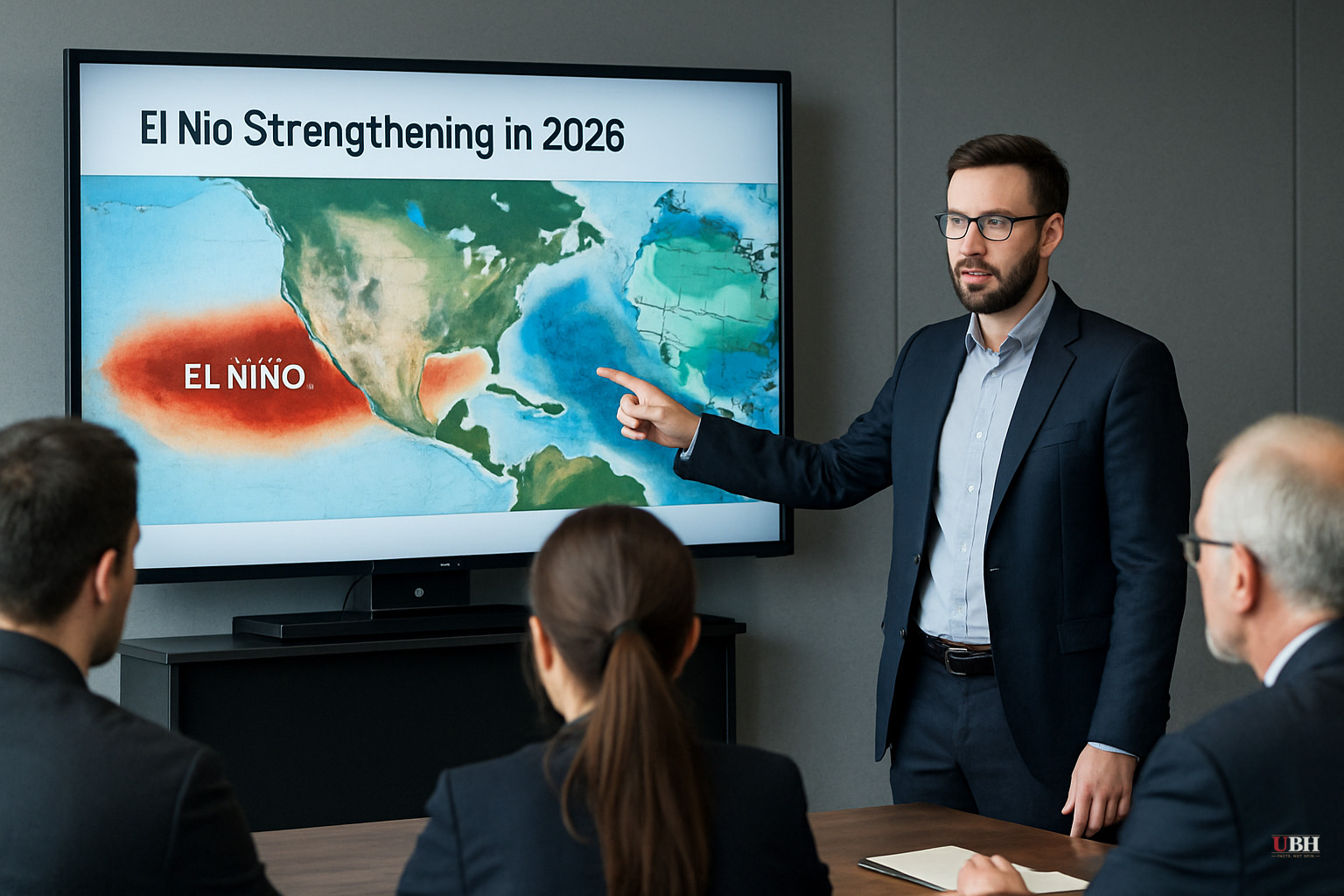
Since CSU trimmed its 2026 Atlantic hurricane forecast earlier today on strengthening El Niño signals, that same oceanic condition is shaping up to have consequences well beyond the Caribbean.
El Niño refers to the periodic warming of sea surface temperatures in the central and eastern tropical Pacific. When it strengthens, it reorganizes atmospheric circulation patterns across North America in predictable ways. NOAA's Climate Prediction Center has documented them across multiple El Niño cycles.
According to NOAA's published Winter Outlook data, strong El Niño events consistently produce the same fingerprint over the continental United States: warmer-than-average temperatures across the northern tier, wetter-than-average conditions for the Gulf Coast, lower Mississippi Valley, and Southeast, and drier-than-average conditions in the northern Rockies, High Plains, and Great Lakes region.
The mechanism, according to NOAA's Climate Prediction Center, is an enhanced southern jet stream that funnels Pacific moisture into the southern U.S. while keeping cold Arctic air bottled up farther north.
Jon Gottschalck, chief of the Operational Prediction Branch at NOAA's Climate Prediction Center, described the dynamic plainly in the agency's documentation: "An enhanced southern jet stream and associated moisture often present during strong El Niño events supports high odds for above-average precipitation for the Gulf Coast, lower Mississippi Valley and Southeast states."
That pattern also tends to bring drought relief to Texas and the Southeast, regions that in recent years have cycled repeatedly between flash drought and flooding.
El Niño doesn't flip on in October. It builds through the summer and peaks in fall and winter. The strengthening CSU noted in its hurricane forecast revision as of today means the atmospheric signal is already present and intensifying, which gives seasonal planners—energy producers, agricultural operators, water utilities—a longer lead time than they typically get.
Natural gas demand modeling is one direct application. A warmer northern winter reduces heating demand in the Midwest and Northeast, which are the heaviest consumption regions. Utilities and gas traders watch El Niño forecasts specifically because they shift the probability distribution of degree-days, the standard measure of heating and cooling demand.
For agriculture, the wet/dry split matters enormously. Enhanced precipitation across the southern Plains and Gulf Coast benefits winter wheat and helps replenish soil moisture after drought. The concurrent drying tendency in the northern Rockies and High Plains cuts the other way for spring wheat and cattle country.
Skeptics of seasonal climate outlooks have a legitimate point: El Niño forecasts are probabilistic, not deterministic. The correlation between El Niño strength and regional precipitation holds on average across many events, but individual years deviate. A "strong El Niño" winter can still produce a cold snap in Atlanta or a dry spell in Louisiana. NOAA's own outlooks are expressed as probabilities—above, near, or below normal—not as certainties.
The Climate Prediction Center's ENSO Diagnostic Discussion, which tracks the evolving El Niño signal in near-real time, is the document forecasters use to update those probabilities as new Pacific Ocean data comes in. As of the most recent archived guidance from that center, the diagnostic framework is functioning, but the current-cycle update has not been published in the sources available here, which limits how precisely the 2026 signal can be quantified from these materials alone.
That uncertainty is real. Users of seasonal outlooks—utilities, insurers, commodity traders—price in a confidence interval, not a guarantee.
The NOAA Winter Outlook document available as a source for this article is dated October 19, 2023. It describes the 2023-2024 El Niño cycle, not 2026. The structural descriptions of how El Niño affects U.S. weather patterns are scientifically durable and consistent across cycles, but any direct quantitative claims about the 2026 cycle's specific intensity would require the current ENSO diagnostic, which was not available in the source material. This article relies on the established physical pattern, not 2026-specific NOAA projections.
The Climate Prediction Center publishes updated ENSO Diagnostic Discussions monthly. The next scheduled release will be the key document for pinning down whether the 2026 El Niño is trending toward moderate or strong classification. A distinction that significantly shifts the probability ranges for southern precipitation and northern temperature departures. That classification, once published, will feed directly into NOAA's official summer and fall outlooks, which commodity markets and federal drought planners treat as operational guidance.
Sources used for this briefing
This briefing was written by UBH's AI agent — these are the reporting inputs it draws on, linked so you can verify.


