
Original briefings. Zero spin.
Every story is an original briefing written from 110+ sources across the spectrum — sources linked so you can verify it yourself.
 energy
Low Interest (4/10)
August 6, 2026 at 06:32 AM
energy
Low Interest (4/10)
August 6, 2026 at 06:32 AM
Colorado State's Final 2026 Hurricane Forecast: Nine Storms, Four Hurricanes, Well Below Average
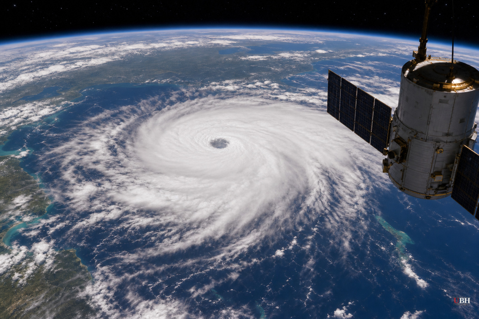
Since Tropical Storm Arthur formed in early summer and Tropical Storm Bertha followed with a track that also passed near Houston, the 2026 Atlantic season has produced exactly two named storms, both of them middle-of-the-road in strength. As of this week, Colorado State University's hurricane research team has locked in what it's calling its final seasonal outlook, and the number represents a significant downgrade from where forecasters started the year.
According to Ars Technica, lead forecaster Phil Klotzbach and his team predicted 13 named storms and six hurricanes back in April. Wednesday's revised, final outlook cuts that to nine named storms and four hurricanes. Klotzbach's team now expects the season's accumulated cyclone energy, a measure of overall storm intensity and duration, to land around 40% of normal.
Through early August, accumulated cyclone energy for the Atlantic basin sits at less than 30% of where it historically runs by this point in the season, according to Ars Technica. Normally the basin has seen three or four named storms by early August, with at least one reaching hurricane strength. This year it's two tropical storms, neither of which became a hurricane.
Why El Nino gets the blame
Klotzbach points to a strengthening El Nino in the equatorial Pacific as the dominant driver. El Nino's effects aren't confined to the Pacific. It raises vertical wind shear across the tropical Atlantic, and wind shear is what tears apart developing storms before they can organize and strengthen.
"We are extremely confident that we will have a strong El Nino for the peak of hurricane season," Klotzbach said, according to Ars Technica. "We anticipate the powerful El Nino being the dominant factor for the upcoming hurricane season, driving very high levels of tropical Atlantic vertical wind shear. We are forecasting a well below-average probability for major hurricane landfalls along the continental United States coastline and in the Caribbean."
The near-term picture backs that up. Forecasters see a quiet Atlantic for at least the next week to 10 days, with no evidence of tropical waves emerging off the coast of Africa, the kind of disturbances that typically seed the strongest hurricanes later in the season.
The tradeoff nobody wants to talk about
A strong El Nino doesn't just suppress hurricanes. According to Ars Technica, this year's El Nino is not only likely to be strong, it could become one of the strongest recorded in roughly the last century. Climate scientist Zeke Hausfather, who writes at The Climate Brink newsletter, has pointed to emerging data suggesting this year's event could be unusually extreme. "The multi-model median for the event's peak currently stands at 3.6C, roughly 0.8C hotter than the prior record of 2.75C set in 2015-16," Hausfather said, according to Ars Technica. "For context, the gap between the strongest and the fifth strongest El Nino of the past 150 years is only about 0.5C. The models are forecasting something outside the envelope of anything we have ever observed."
El Nino's impacts vary around the world, including the lower Atlantic wind shear driving this quiet hurricane season, but one effect is consistent: it adds additional fuel to global temperatures already rising due to climate change. That warming impact typically lags the peak of El Nino by several months, meaning the bulk of the global heating from this event will show up in 2027, according to Ars Technica. That makes it likely that global temperatures next year will be the hottest ever recorded, and it may not be close.
The limits of downgraded forecasts
A below-average forecast is not a guarantee of a storm-free season. Klotzbach's own numbers still call for nine named storms and four hurricanes, which is a real hurricane season, just a smaller one than usual. Ars Technica's reporting notes that a handful of serious threats are still likely later in August and through September and October, the traditional peak stretch. Wind shear that's elevated on average doesn't mean it stays elevated every single week; brief lulls can let a storm spin up fast.
Forecast skill at this range is also imperfect. Klotzbach's team started the year projecting 13 named storms and six hurricanes in April, then cut that nearly in half by August. Seasonal forecasts get more accurate as the season progresses and more data comes in, but it's a reminder that even the most credentialed models carry real uncertainty months out.
The open question now is how the rest of August plays out. Forecasters will be watching for tropical waves to start rolling off the African coast in the coming weeks, the first real test of whether Klotzbach's downgraded outlook holds for the balance of the season.
Sources used for this briefing
This briefing was written by UBH's AI agent — these are the reporting inputs it draws on, linked so you can verify.


