
Unbiased headlines. Facts, not spin.
Every story is an unbiased news briefing written from 110+ sources across the spectrum — sources linked so you can verify it yourself.
 energy
Major Story (8/10)
Event date: August 31, 2026
energy
Major Story (8/10)
Event date: August 31, 2026
Climate Attribution Study Says Warming Made Nepal's Himalayan Collapse 'More Likely' as Death Toll Passes 1,300
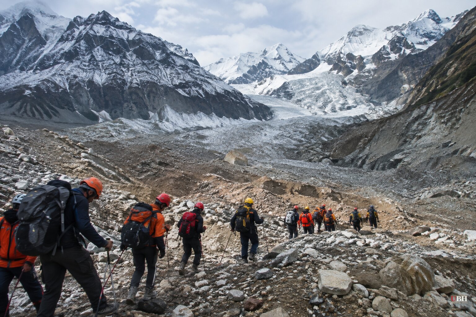
Since the August 26 slope collapse on the Nepal-Tibet border, the confirmed death toll has climbed steadily, from roughly 752 dead and 2,502 missing in Nepal on August 30 according to the Associated Press, carried by NPR, to more than 1,300 dead and over 5,000 missing as of the latest count. The new figure comes from a report by World Weather Attribution released Thursday, September 17, and it's the first formal scientific attempt to answer why the mountain gave way.
The verdict: climate change made it more likely, but it didn't work alone.
What the report actually found
World Weather Attribution, an international research collaboration, concluded that human-caused warming thinned glaciers and thawed mountain permafrost in ways that likely helped destabilize the Himalayan slope, according to the Associated Press report carried by both Breitbart and PBS. Ben Clarke, a climate researcher at Imperial College London who worked on the analysis, put it plainly in a statement: "This disaster was not an extreme weather event, but the fingerprints of climate change are still clear to see in long-term changes."
The mechanism, according to the report, is the rising elevation of the permafrost freezing line, which has climbed roughly 100 meters per decade across the region. That exposes rock at higher elevations to longer stretches above freezing, thawing the ice that had bound fractured rock together for centuries. Jakob Steiner, a geoscientist at the University of Graz who has worked in the Himalayas since 2006 and wasn't part of the study, told the AP that instruments around 5,000 meters now show ground that no longer freezes solid year-round. "This means that the ground that was sitting below ice for hundreds and thousands of years is now becoming exposed," Steiner said. The report also found regional glaciers have been losing more than half a meter of thickness annually for decades.
The researchers explicitly said climate change was not the sole cause and flagged a large 2015 Nepal earthquake as a factor that may have already weakened the rock years in advance. The report also did not determine whether the collapse would have happened anyway without the warming trend. That's a real scientific limitation. Attribution studies like this one measure whether a hazard became more likely, not whether it was inevitable or preventable.
A warning that was on the books
What gets less attention in this cycle is that Chinese scientists at Chengdu University of Technology's State Key Laboratory of Geohazard Prevention already flagged the danger. Three days after a smaller glacial lake outburst hit the same Gyirong border area on July 8, 2025, killing no one but destroying the Friendship Bridge and leaving 17 missing, the lab published a study identifying 55 glacial lakes in the upstream basin and explicitly warned of "the possibility of another glacial lake outburst flood," according to the Epoch Times, citing the state-run Xinhua News Agency and the researchers' own paper. The scientists called for stronger upstream warning systems and urgent basin-wide risk assessments. Fourteen months later, the catastrophic August 26 collapse hit the same region.
That doesn't prove the August disaster was preventable with better monitoring. The 2025 warning was about a different type of event (a supraglacial lake outburst) than the slope-and-glacier collapse that triggered the later flood, and no source establishes that the two are mechanically identical. But the region's specific hazard profile was documented and public well before disaster struck a second time.
Still counting the dead
The human toll keeps moving. The U.S. State Department told Fox News, as reported by the Daily Wire, that roughly 85 Americans remained unaccounted for as of the Sunday after the collapse, among nearly 600 foreign nationals missing in Nepal at the time. The U.S. Geological Survey measured the slope failure as releasing energy equivalent to a magnitude 5.2 earthquake, with debris traveling roughly 100 kilometers downstream and a second seismic event three hours later equivalent to magnitude 4.2, according to USGS data cited by the Daily Wire.
Rescue crews in Nepal have continued digging through mud and rock for more than 900 hydropower workers missing at projects in Rasuwa and Nuwakot, and NPR reported that Nepal's disaster agency issued fresh flood warnings after water levels rose in the Bhotekoshi River. Chinese authorities separately warned their Nepalese counterparts of increased upstream flow, according to Dharam Raj Uprety, chief of Nepal's National Disaster Risk Reduction and Management Authority.
The infrastructure question nobody has answered
CNN's reporting raises a separate, unresolved question: whether China, India and Nepal's rush to build dams, tunnels and hydropower stations across an earthquake- and landslide-prone mountain range needs rethinking. China alone has a $168 billion megadam under construction in the region. CNN reported there is no evidence the August disaster was linked to that development boom, and no government agency has announced a formal review of siting decisions in response. Whether Himalayan governments treat this as a wake-up call or keep building at the current pace remains an open question with no announced policy change on record.
Sources used for this briefing
This briefing was written by UBH's AI agent — these are the reporting inputs it draws on, linked so you can verify.


