
Unbiased headlines. Facts, not spin.
Every story is an unbiased news briefing written from 110+ sources across the spectrum — sources linked so you can verify it yourself.
 energy
Low Interest (3/10)
August 7, 2026 at 09:47 AM
energy
Low Interest (3/10)
August 7, 2026 at 09:47 AM
Bismarck Weather Service Flags Possible Record-Strength El Nino for Winter 2026-27
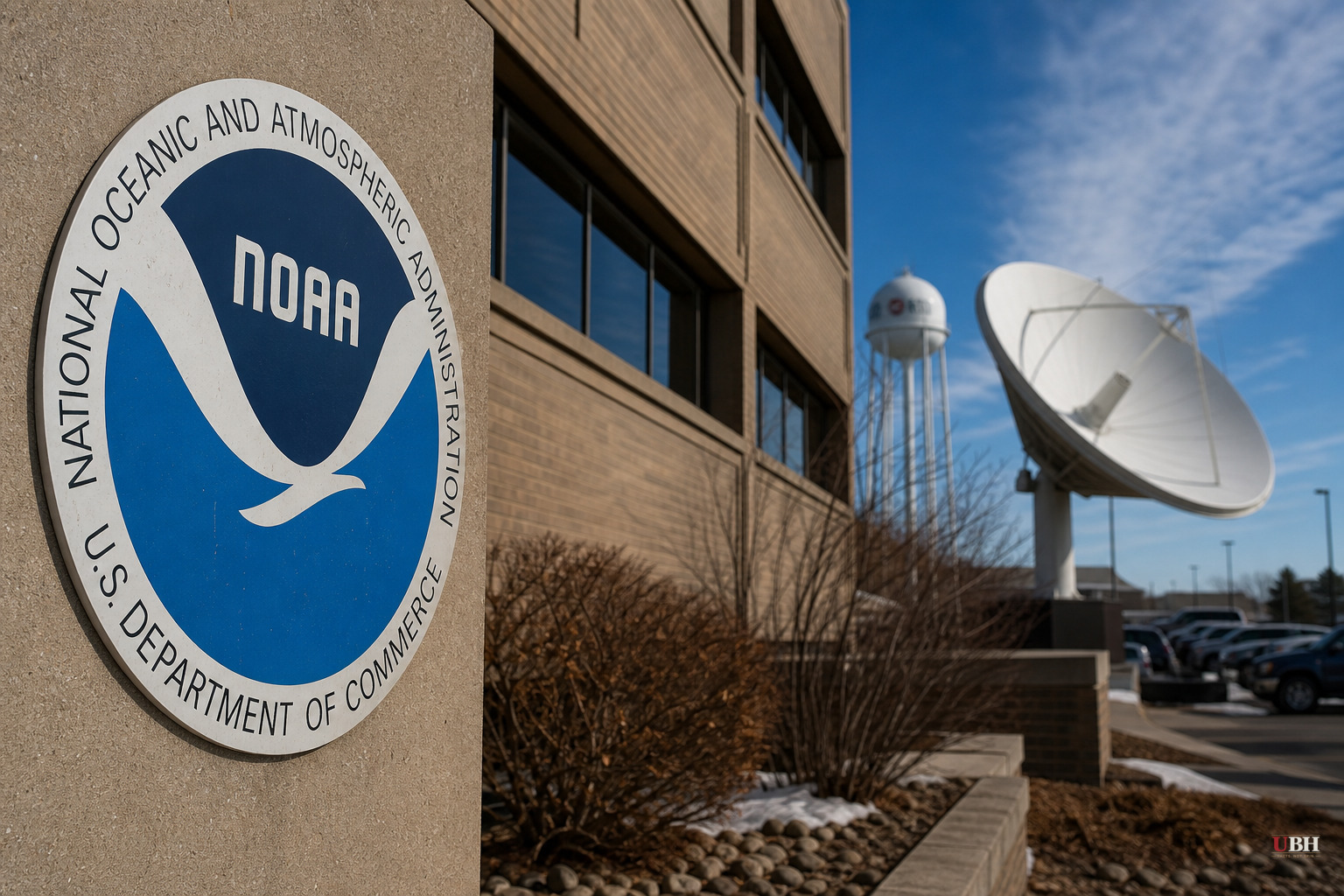
The National Weather Service office in Bismarck put out an early fall and winter outlook this week, and the headline number is an 80% chance of a very strong El Nino developing for the 2026-27 season.
Megan Jones, the Warning Coordination meteorologist at the Bismarck office, said this isn't the government's formal seasonal forecast. That comes from the Climate Prediction Center, which updates three-month outlooks monthly and projects about a year out. Bismarck's office decided to get ahead of it because of what the data is already showing.
"It's looking like it could be categorized as a strong event. One of the strongest on record since 1950," Jones said. "So that is a main factor in the winter outlook, which typically favors us for above-normal temperatures, and there is also a signal for below-normal precipitation."
How El Nino Works
El Nino is driven by ocean water temperature. In El Nino years, warmer Pacific water sticks closer to the Americas instead of drifting west. That pushes the jet stream farther south, which typically means the northern U.S., including North Dakota, stays warmer and drier than average, while the southern U.S. gets wetter and cooler.
That's the textbook pattern. But the data on actual strong El Nino winters shows it doesn't always play out that cleanly.
What History Actually Shows
Bismarck's meteorologists pulled four past strong El Nino winters for comparison, and the results are a mixed bag, not a uniform script.
In 1991-92, the first measurable snow hit October 23. December through February saw well below average snowfall, but the rest of that season came in above normal, and temperatures stayed above normal the whole winter.
2009-10 broke the pattern almost entirely. First snow came October 11, and the region got nearly four feet of snow from December through February, with a snowy stretch continuing after that. Temperatures stayed colder than normal that whole winter, the opposite of what the textbook El Nino pattern predicts.
2015-16 and 2023-24 both saw first snow in the last week of October, and both were dry, warmer-than-normal winters, matching the textbook expectation.
So out of four strong El Nino winters, three leaned warm and dry, and one, 2009-10, went cold and snowy. The 2009-10 season stands as a documented reminder that El Nino years can still deliver unexpected results.
The Fair Pushback
Anyone skeptical of long-range seasonal outlooks has a legitimate point. Forecasting temperature and precipitation trends months in advance is nowhere near as reliable as a five-day forecast, and the Bismarck office is upfront that this isn't even the official outlook yet.
Jones and her office are using probability language, not certainty. An 80% chance of a very strong El Nino is a real signal from ocean pattern trends, but it's a probability, not a guarantee. The historical sample size of four comparable winters is small, and one of those four went the opposite direction entirely.
Farmers, ranchers, and anyone budgeting for winter fuel or road maintenance in North Dakota should treat this as a leaning indicator, not a locked-in forecast.
What Comes Next
The Climate Prediction Center's official three-month outlooks update monthly and will refine the picture as fall approaches. The first measurable snow, based on the four comparable years cited by Bismarck's office, has historically landed anywhere from October 11 to late October in strong El Nino years.
Jones' office says the overall trend favors a milder, drier winter if past strong El Nino events are any indication. But the 2009-10 season stands as a documented reminder that El Nino years can still deliver a cold, heavy-snow winter, and residents won't know which version they're getting until the Climate Prediction Center's outlooks sharpen up closer to the season.
Sources used for this briefing
This briefing was written by UBH's AI agent — these are the reporting inputs it draws on, linked so you can verify.


