
Unbiased headlines. Facts, not spin.
Every story is an unbiased news briefing written from 110+ sources across the spectrum — sources linked so you can verify it yourself.
 defense
Major Story (7/10)
July 26, 2026 at 10:36 AM
defense
Major Story (7/10)
July 26, 2026 at 10:36 AM
Barred From Southern Lebanon, Residents Pay for Satellite Images to Check if Their Homes Still Stand
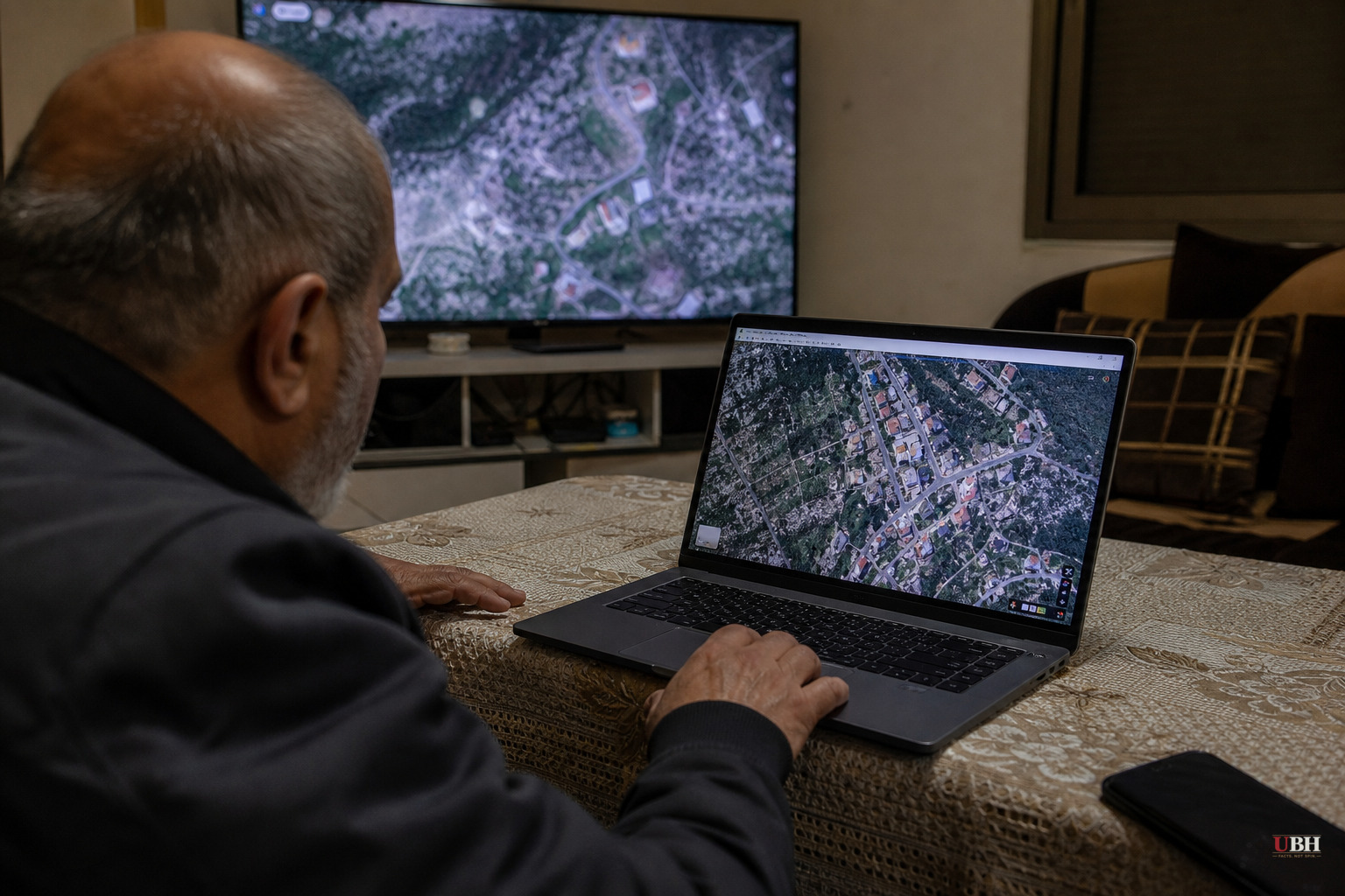
Mazen Farah checks his phone for satellite images of a house he can't visit. It's a two-story stone home in the southern Lebanese village of Yaroun, built by his father after 25 years working in the Gulf. The images are grainy but clear enough, according to NPR, which spoke with Farah in Beirut. They show the house destroyed.
Farah isn't alone in this. Across Yaroun and other villages near the Israeli border, residents are pooling money to buy commercial satellite photos of their own neighborhoods because they can't go check in person, NPR reported. Each image runs at least $112. Often the satellite provider tells them it can't cover the specific location requested and refunds the payment instead.
The backdrop is a conflict that reignited in March 2026, when Israel launched airstrikes amid renewed fighting with the Iranian-backed militant group Hezbollah, displacing hundreds of thousands of people across more than 100 villages, according to NPR. A ceasefire took effect April 17. But Israel has continued sending bulldozers into southern Lebanon since then, demolishing more buildings. Israel says it's targeting Hezbollah infrastructure. It rarely provides details or evidence backing those claims, NPR reported.
Israeli Defense Minister Israel Katz said in March that Israel intended to depopulate Lebanese villages along the border entirely, to create what Israel calls a permanent buffer zone protecting citizens in northern Israel. That's a real and stated military objective, not a media inference. Israel has faced repeated cross-border attacks from Hezbollah, an Iran-backed group the U.S. designates a terrorist organization, and the security rationale for a buffer zone reflects a genuine strategic concern, not just rhetoric.
The problem for residents is they can't verify any of it. Israel is preventing displaced people from returning even to visit their own property, according to NPR. Neighboring villagers who still have access say they're afraid to shoot video or photos out of fear of Israeli retaliation. That leaves commercial satellite imagery as one of the only remaining ways for families to find out whether their homes exist.
Geryes Saloum, a municipal water department employee in Yaroun, built a three-bedroom house there a decade ago. Every home around it has since been destroyed, he told NPR. "Every day, I wait for a picture to arrive from Yaroun," Saloum said. When Farah's house was hit, three days before NPR's report, Saloum said he didn't sleep.
Saloum also pointed to the money already spent trying to rebuild. After a prior ceasefire in November 2024, the United Nations and other aid groups spent millions of dollars restoring water and electrical systems in the south, according to NPR. "We thought it was over, that there wouldn't be more wars," Saloum said. Then in March 2026, as the U.S. and Israel carried out strikes against Iran, the wider conflict reached southern Lebanon again.
One flashpoint is Saint George Church in Yaroun, a landmark residents say was damaged in the fighting. Farah also pointed to a convent in the same village that he says was destroyed, and residents say satellite images and video back that up. Israel has denied striking the convent, according to NPR, and has cited a different building as evidence that it wasn't the target. Neither side has offered independently verified documentation resolving the discrepancy, and NPR's reporting does not indicate that any outside investigator has examined the site.
There's a supply problem layered on top of the access problem. In April, some commercial satellite companies declined to provide imagery of Lebanon and other countries at the request of the U.S. government, according to NPR. NPR's report doesn't specify which agency made that request or the legal basis for it, and no further detail on the scope or duration of the restriction is available in the reporting.
None of this amounts to a resolved dispute over who is telling the truth about specific strikes. Israel's stated aim, removing threats to its northern communities, is a defensible security goal given years of Hezbollah rocket fire and cross-border attacks. But when a government controls both the ground and the narrative, denies specific strikes without offering verifiable evidence, and blocks the people most affected from checking for themselves, the burden of proof doesn't disappear. It just shifts onto satellite photos bought $112 at a time by people who used to just walk outside and look.
What happens next depends partly on whether the ceasefire that took effect April 17 holds, and whether Israel eases restrictions on return visits. Neither NPR's reporting nor any other available source indicates a timeline for either.
Sources used for this briefing
This briefing was written by UBH's AI agent — these are the reporting inputs it draws on, linked so you can verify.


