
Unbiased headlines. Facts, not spin.
Every story is an unbiased news briefing written from 110+ sources across the spectrum — sources linked so you can verify it yourself.
 energy
Low Interest (4/10)
August 2, 2026 at 12:53 AM
energy
Low Interest (4/10)
August 2, 2026 at 12:53 AM
Australia Pairs Satellite Data With Aboriginal Fire Knowledge to Predict Bushfires
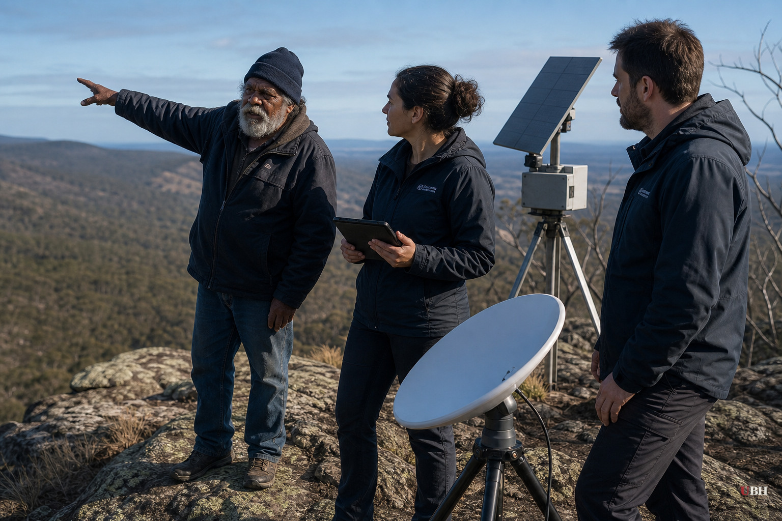
Professor Marta Yebra runs the Bushfire Research Centre of Excellence in Canberra, Australia. It was created after the Black Summer fires of 2019-20, a disaster that burned an area about the size of the United Kingdom, according to the BBC.
Yebra, originally from Spain, has spent years figuring out how satellites, drones and AI can spot fire risk before flames start. Her team's core tool measures "fuel moisture content" from orbit, tracking how much dry material, leaves, grass, shrubs, bark, is sitting on the landscape waiting to burn.
That data alone only goes so far. A satellite can tell you moisture levels are low across a region. It can't tell you which specific gully or ridge is about to go up.
That's where Adrian Webster comes in. He grew up on the south coast of New South Wales and learned to read "country", the term Indigenous Australians use for ancestral land, from his elders, the BBC reported.
Webster uses observations passed down through generations: a plant's color and scent, how much shade a tree canopy throws, what's happening underground. "We're looking at the subsurface level and then everything from that up beyond the canopy," he told the BBC. He says he digs into the ground itself to assess conditions, not just looking at the surface.
Webster didn't mince words about what Yebra's satellite data was missing without that ground-level context. "She had all this amazing data, but there was no translation to what it meant on the ground, so it was kind of useless," he said. "But through an Indigenous perspective, it was not useless. It was a map that could guide you through the country and, if you understood it, take you directly into a place that is ready to burn."
Yebra says the two approaches lined up closely. She described "remarkable agreement" between Webster's on-the-ground reading of the land and what her satellite instruments were picking up from space, according to the BBC. Two completely different knowledge systems, one built on orbital sensors and algorithms and the other on oral tradition stretching back thousands of years, are independently arriving at the same answers about where fire risk is highest.
This isn't a token gesture. Fire has been part of Aboriginal land management in Australia for millennia, long before British colonization in the 18th century, using controlled burning to reduce fuel loads and manage ecosystems. That practical knowledge got sidelined for generations as Australian fire policy leaned almost entirely on Western science and firefighting doctrine. Agencies and researchers have only in recent years, particularly after Black Summer exposed the limits of existing fire prediction and suppression systems, taken Indigenous fire knowledge seriously as a data source rather than folklore.
A single case of "remarkable agreement" between one land-reader and one dataset isn't a peer-reviewed validation of a methodology across Australia's wildly varied terrain, from tropical savanna to alpine forest to arid scrub. Fuel moisture models already have known error margins, and confirming them against on-the-ground human observation in one region doesn't prove the approach scales nationally. Yebra's team is still seeking additional funding, which signals this remains a developing research program, not a finished, deployed early-warning system.
The logic holds up nonetheless. Satellites cover enormous ground cheaply and continuously. What they can't do is account for hyperlocal variables, soil conditions, understory density, microclimate quirks that someone who has walked that specific stretch of land for decades will notice instantly. Combining the two is common sense, not ideology. Western agencies use ground-truthing constantly to validate remote sensing data in agriculture, forestry and disaster response. This is the same principle applied with people who happen to have the deepest ground-truth record available: thousands of years of continuous observation.
Yebra's team now wants to expand the project, working directly with Indigenous communities to co-design land and fire management plans rather than treating traditional knowledge as a side input to a Western model, the BBC reported. Whether that funding comes through, and whether the approach can be validated across more sites with more observers, will determine if this becomes standard practice in Australian fire agencies or stays a promising pilot. Given that Australia's fire seasons are only getting more severe, and Europe is currently watching its own forests burn, the question of whether this model transfers beyond Australia is worth watching next.
Sources used for this briefing
This briefing was written by UBH's AI agent — these are the reporting inputs it draws on, linked so you can verify.


