
Unbiased headlines. Facts, not spin.
Every story is an unbiased news briefing written from 110+ sources across the spectrum — sources linked so you can verify it yourself.
 economy
Notable (5/10)
July 19, 2026 at 03:22 PM
economy
Notable (5/10)
July 19, 2026 at 03:22 PM
Rare Atlantic Cooling Pattern Plus Strengthening El Niño Could Mean a Quieter Hurricane Season
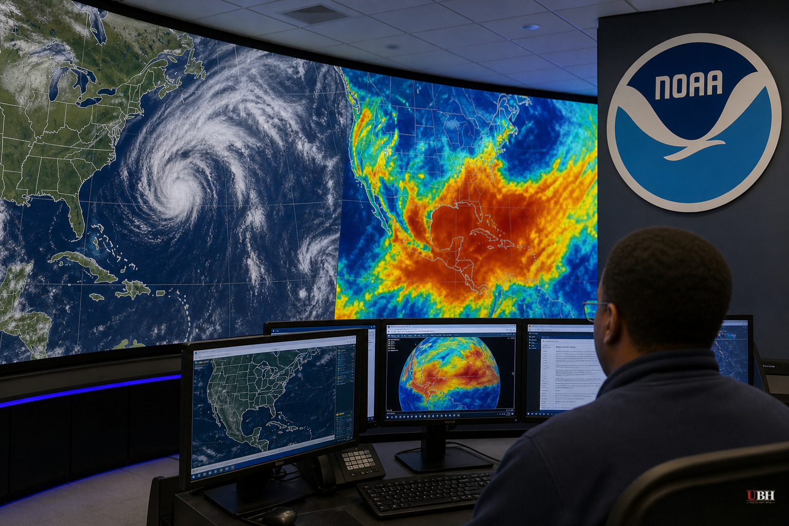
Two Ocean Patterns, One Possible Outcome
Sea surface temperatures in the eastern equatorial Atlantic are running 1 to 3 degrees Celsius (1.8 to 5.4 degrees Fahrenheit) below average as of mid-July 2026, according to NOAA Coral Reef Watch satellite data cited by The Watchers News. That cold pool is what meteorologists call an Atlantic Niña, the cool-phase counterpart to the well-known Atlantic Niño.
At the same time, El Niño in the Pacific is strengthening fast. NOAA announced the event had officially developed back in June and projected it would reach at least moderate or strong intensity in the second half of 2026, according to The Watchers News. Current forecasts show an 81% probability El Niño becomes a very strong event by late autumn, with a 97% probability conditions persist through early spring 2027.
These are two opposite ocean signals: warm in the Pacific, cold in the Atlantic. But according to meteorological platform Severe Weather Europe, cited by Newsweek, they can push the atmosphere in the same direction. More sinking air, stronger wind shear, and less rainfall over the tropical development zones that spawn hurricanes.
Why This Matters for Hurricane Season
Andrej Flis of Severe Weather Europe said the current cooling is significant because strong summer Atlantic Niña events are rare. If the seasonal anomaly ends below minus 0.5 degrees Celsius, 2026 would be only the sixth such event recorded in more than 40 years, according to both The Watchers News and Newsweek.
NOAA defines Atlantic Niña as the cold phase of the Atlantic zonal mode, a natural pattern that swings between warm and cool every few years, driven by strengthened trade winds pushing surface water away from the equator and pulling colder water up from below through upwelling. NOAA notes this cooling normally happens to some degree every July and August. What's unusual this year is the magnitude.
During past Atlantic Niña events, the total number of Atlantic tropical cyclones, including U.S. landfalls, has run about 50% lower than during Atlantic Niño years, according to The Watchers News. Pair that with El Niño's tendency to increase wind shear and dry out the mid-level atmosphere over the Atlantic, and forecasters are describing an environment that's genuinely hostile to storm formation.
Washington Post meteorologist Ben Noll said on social media that the cool waters from this climate pattern could have a dampening effect on hurricane activity, a measured statement that stops well short of declaring the season over.
The Catch: This Is a Trend, Not a Guarantee
The honest caveat is one that Severe Weather Europe itself flagged, according to Newsweek: an El Niño-suppressed season can still produce a catastrophic outlier. Hurricane Andrew hit Florida in 1992 during an otherwise quiet, El Niño-influenced season and remains one of the costliest storms in U.S. history.
So a suppressed overall storm count doesn't mean zero risk. A single landfalling hurricane can devastate a coastline regardless of how quiet the broader season looks on paper. Anyone in a hurricane-prone state treating this pattern as a reason to skip storm prep is making a mistake.
The sourcing on the specific numbers here leans heavily on Severe Weather Europe's analysis, repeated across multiple outlets. NOAA's own confirmations cover the El Niño development and the general definition of Atlantic Niña, but the specific ACE index projections and the claim that Colorado State University's tropical monitoring team is framing this as an atmospheric "buzzsaw" come from less rigorously sourced commentary. The core physical mechanism, cooler Atlantic water suppressing convection while El Niño increases wind shear, is well established science. The dramatic framing of an impenetrable "forcefield" is not.
What Comes Next
Forecast output cited by Severe Weather Europe shows the cool Atlantic anomaly persisting into late August 2026, while Pacific El Niño anomalies continue to build. The traditional peak of hurricane season runs from mid-August through October, when Atlantic waters are typically warmest and storm formation historically spikes.
If the Atlantic anomaly holds below minus 0.5 degrees Celsius through the required overlapping three-month periods, NOAA will have the data to formally classify 2026 as an Atlantic Niña year, the sixth such summer event in over four decades. Until then, it remains a developing signal, not a settled outcome, and coastal residents from Texas to Nova Scotia should treat any below-average forecast as a probability, not a promise.
Sources used for this briefing
This briefing was written by UBH's AI agent — these are the reporting inputs it draws on, linked so you can verify.


