
Unbiased headlines. Facts, not spin.
Every story is an unbiased news briefing written from 110+ sources across the spectrum — sources linked so you can verify it yourself.
 economy
Notable (5/10)
August 4, 2026 at 12:31 AM
economy
Notable (5/10)
August 4, 2026 at 12:31 AM
NOAA Puts 81% Odds on a 'Very Strong' El Nino Forming by December, With Effects Through Early 2027
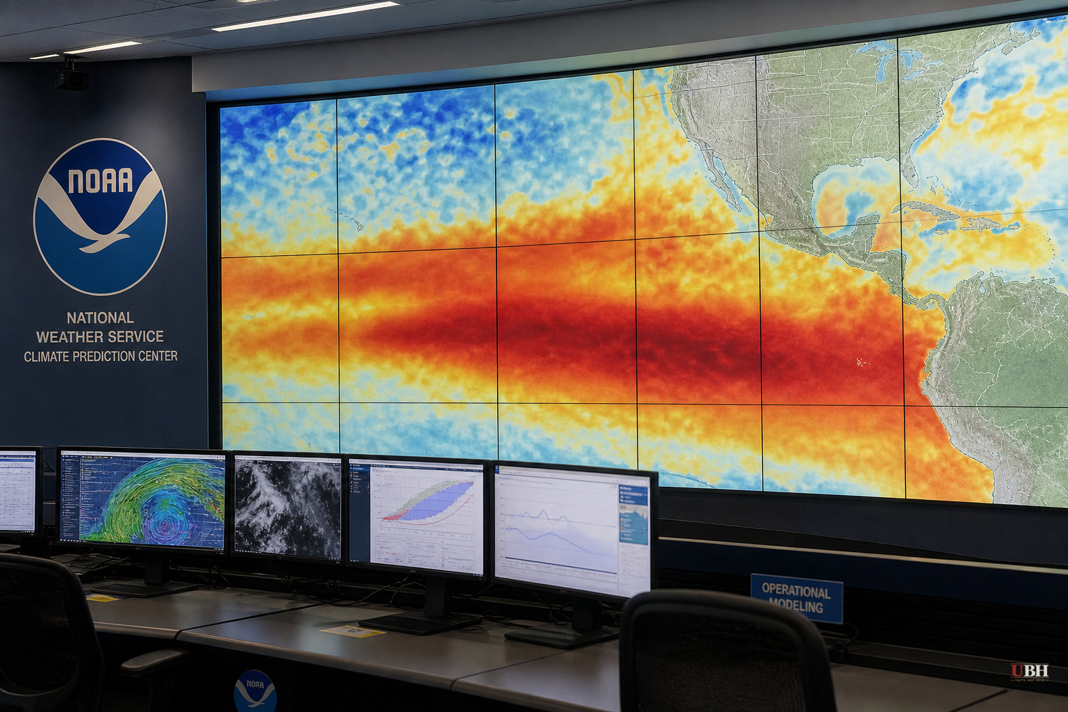
El Nino conditions are already established in the tropical Pacific as of this week, and NOAA's Climate Prediction Center says the odds favor the pattern strengthening into a very strong event by the fourth quarter of 2026.
That's NOAA's actual term. Super El Nino is not an official NOAA classification. It's shorthand some meteorologists and outside forecasters use for an event where ocean temperature anomalies in the central and eastern tropical Pacific exceed roughly 2 degrees Celsius above average, according to Newsweek. Those events are rare. Since 1950, only a handful have hit that threshold, including 1982-83, 1997-98 and 2015-16.
Here's the actual number from NOAA: an 81 percent chance of a very strong El Nino developing during October through December 2026, with peak intensity expected in late fall or early winter. NOAA also estimates a 97 percent chance the pattern persists into early spring 2027.
That's a probability, not a certainty. Forecasts five months out carry real uncertainty even when the odds are lopsided.
What It Means for U.S. Weather
El Nino works by shifting sea-surface temperatures in the Pacific, which in turn moves the jet stream and changes where storm systems form and travel. The bigger the ocean anomaly, the more the pattern tends to tilt the odds toward its typical U.S. effects, according to NOAA.
Johnna Infanti, a meteorologist at NOAA's Climate Prediction Center, told Newsweek the agency is currently predicting above-normal precipitation for the fall and winter across much of the southern United States. "The highest probabilities for above-normal precipitation are over the Gulf States and parts of the Southeast to Mid-Atlantic, indicating the areas where we have the most confidence," Infanti said.
The flip side: strong El Nino winters have historically brought warmer-than-average conditions to the northern tier of states, from the Pacific Northwest through the Upper Midwest and into the Northeast. That's the classic pattern from past strong events, though NOAA's own outlook cautions that even the strongest El Ninos don't produce their textbook impact everywhere.
"Even the strongest El Nino events do not lead to the typical impact everywhere, but stronger events can more significantly tilt the odds in favor of expected outcomes," the Climate Prediction Center said in its outlook, according to Newsweek.
Why the Hedge Matters
An 81 percent probability is high, but it's not 100. Forecast confidence for winter precipitation and temperature patterns generally improves as the season gets closer, and the strength of the ocean anomaly itself can still shift between now and the October-December window NOAA is targeting.
Other forecasting centers have flagged the same potential for an unusually strong event, according to Newsweek, though the specifics of those competing model runs weren't detailed beyond NOAA's own numbers.
What Happened Before
The three benchmark strong-to-super events, 1982-83, 1997-98 and 2015-16, each produced significant disruptions: flooding in California and the Gulf Coast, mild winters in the northern Plains and Great Lakes, and altered hurricane activity in both the Atlantic and Pacific basins. If the current event reaches similar strength, forecasters expect a broadly similar footprint, though NOAA has not published state-by-state impact projections beyond the regional precipitation outlook Infanti described.
The practical stakes are straightforward for people who plan around winter weather. Gulf Coast and Southeast communities that flood-plan around wet winters have a data point to work with now, months ahead of the season. Farmers, water managers in the Southwest, and state emergency planners in flood-prone areas typically use these NOAA seasonal outlooks to prep infrastructure and reservoir management before the wet season arrives.
NOAA's Climate Prediction Center is expected to update its El Nino outlook monthly through the fall, which will sharpen the strength estimate and the regional precipitation and temperature probabilities as October approaches. Until then, the 81 percent figure is the number to watch, not any informal "super" label.
Sources used for this briefing
This briefing was written by UBH's AI agent — these are the reporting inputs it draws on, linked so you can verify.


