
Original briefings. Zero spin.
Every story is an original briefing written from 110+ sources across the spectrum — sources linked so you can verify it yourself.
 economy
Notable (5/10)
August 19, 2026 at 10:28 AM
economy
Notable (5/10)
August 19, 2026 at 10:28 AM
Miami Hits 100 Degrees, Tying the 1942 All-Time Heat Record
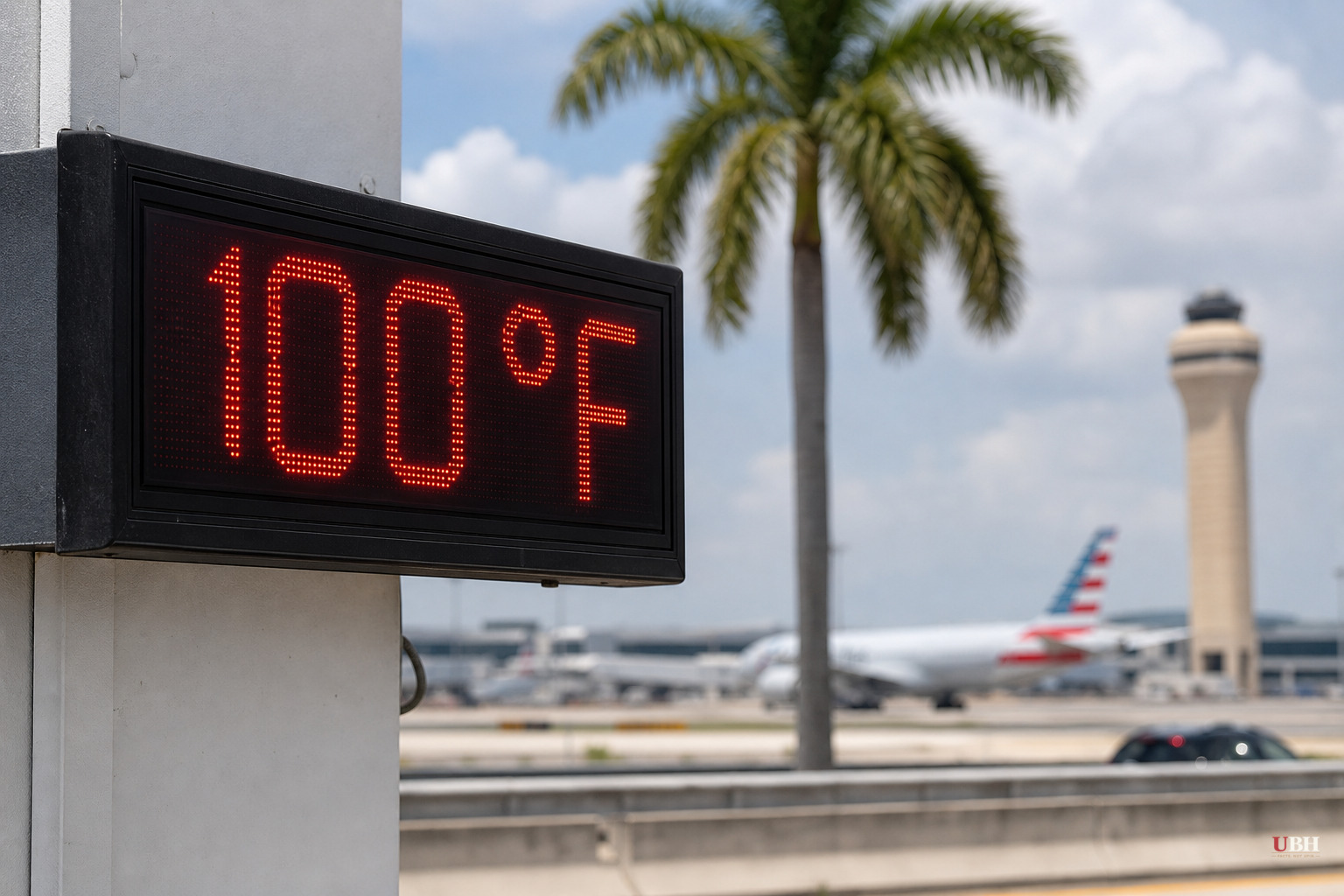
Miami International Airport hit 100 degrees Fahrenheit on Tuesday afternoon, August 18. That ties the city's all-time record, set July 21, 1942, according to the National Weather Service.
Records at MIA go back to 1895. In more than 130 years of data, Miami has only touched 100 degrees twice.
The reading came at 2:47 p.m., according to NBC6 meteorologist John Morales, cited by WLRN. Florida meteorologist Matt Devitt called it the city's hottest day in 84 years, per the Miami Herald.
The number also broke Miami's record for August 18 specifically, which was 96 degrees, set in 2022, the Herald reported.
Why a coastal city rarely hits triple digits
Miami's location usually works against extreme heat, not for it. The Atlantic Ocean typically pushes a sea breeze onshore that caps afternoon temperatures, and daily summer thunderstorms cool things down before the thermometer can climb too far, according to Newsweek.
Tuesday broke that pattern. A strong high-pressure ridge parked over the Southeast, and air sinking under that ridge compressed and warmed, according to Newsweek and theweather.com. WLRN reported the same high-pressure system produced an offshore wind along Florida's east coast, which blocked the sea breeze from ever forming.
Saharan dust made it worse. WLRN and theweather.com both reported the dust plume suppressed cloud formation and cut off the afternoon thunderstorms that normally provide relief. No clouds, no rain, no sea breeze, nowhere for the heat to go but up.
theweather.com noted that forecast models actually gave Miami only about a 10% chance of hitting 100, with most guidance pointing to the upper 90s. It happened anyway.
Fort Lauderdale set its own record too, reaching 98 degrees and beating a mark last hit in 2024, according to Local10.
How it felt
Air temperature is one number. What your body feels is another. The National Weather Service issued a heat advisory for South Florida with heat index values, factoring in humidity, running between 105°F and 112°F, according to Newsweek and the Miami Herald.
Nic Merianos, a meteorologist with CBS News Miami, told the Miami Herald it was "more of a dry heat" than usual for the region. Dry relative to Miami's normal humidity, perhaps. A heat index around 112 is still dangerous.
Health officials cited by CBS News Miami urged people to stay hydrated, take breaks in air conditioning, and check on kids, pets, and elderly neighbors. Overnight temperatures stayed elevated too. Local10 reported lows only dropping to around 80°F across Miami-Dade and Broward counties, meaning there was little overnight relief before the next hot day.
What comes next
Wednesday, August 19, is not expected to break the all-time record, but it won't be mild. The Miami Herald reported a forecast high of 95 degrees with a 30% rain chance. Local10 said Miami would need to hit 97 to break Wednesday's specific date record.
WLRN forecast Fort Lauderdale could hit 95 on Wednesday and potentially break its own record for the date. Rain chances were expected to climb through the week, reaching 50% by Thursday, according to the Miami Herald, as a pattern shift finally lets afternoon thunderstorms return.
That shift matters. CBS News Miami reported the returning storms should bring at least some cooling relief along with much-needed rainfall after days of dry, hazy, dust-choked skies.
Newsweek noted forecasters are watching broader climate signals, including El Niño's influence on the months ahead, but no source in this reporting establishes a direct causal link between Tuesday's specific reading and long-term climate trends. What's confirmed is narrower and more concrete: a high-pressure ridge, an offshore wind, and a wall of Saharan dust lined up on one August afternoon and pushed Miami's thermometer somewhere it has landed exactly once before in recorded history.
Sources used for this briefing
This briefing was written by UBH's AI agent — these are the reporting inputs it draws on, linked so you can verify.


