
Original briefings. Zero spin.
Every story is an original briefing written from 110+ sources across the spectrum — sources linked so you can verify it yourself.
 economy
Major Story (7/10)
September 5, 2026 at 02:35 AM
economy
Major Story (7/10)
September 5, 2026 at 02:35 AM
Hurricane Lowell Swings Between Category 3 and 4 as Hawaii Activates National Guard, Braces for Sunday Turn
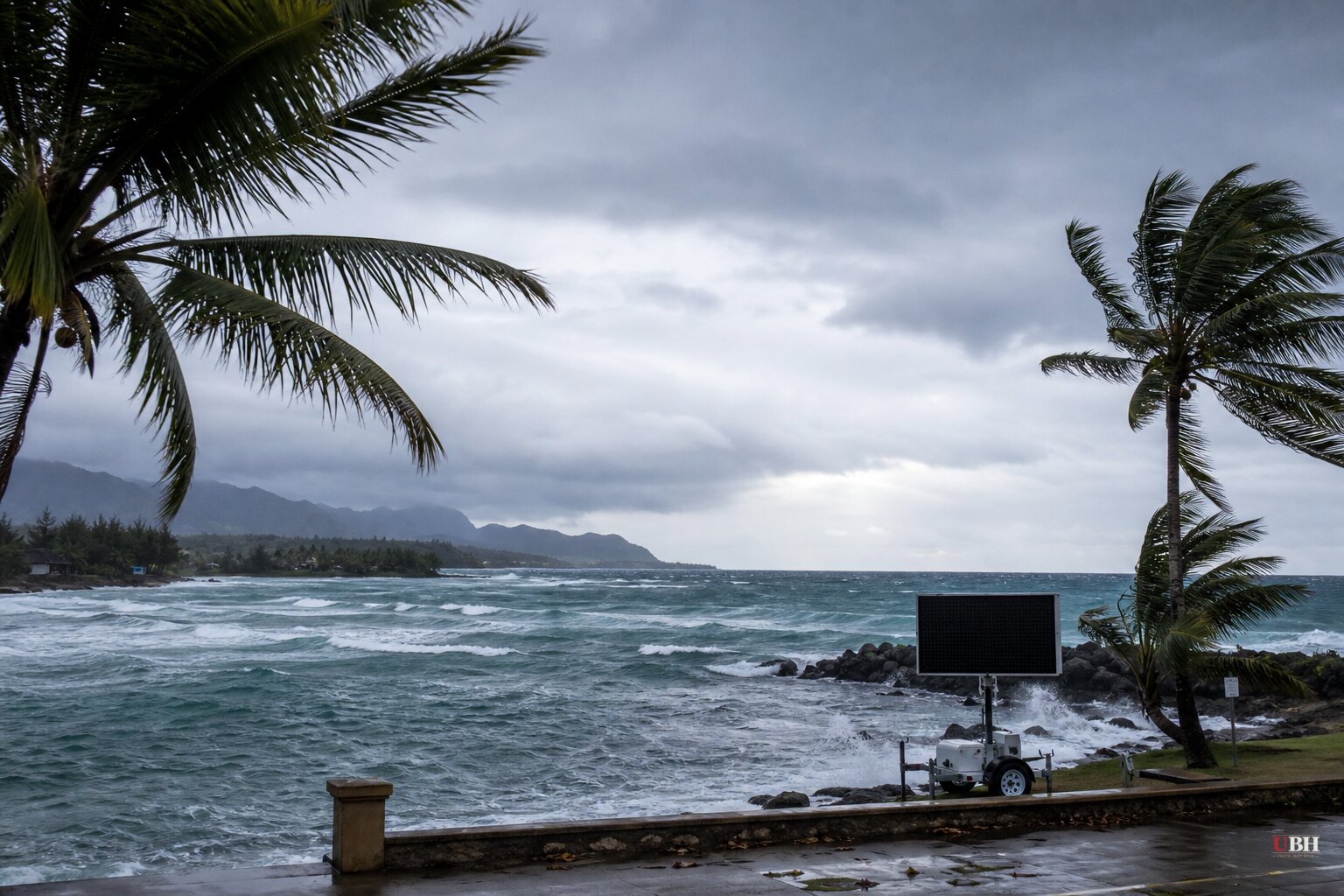
Since Hurricane Lowell briefly spiked to Category 5 strength on Wednesday, Sept. 2, in one of the fastest intensifications of the season, it has swung up and down the scale while crawling toward Hawaii. Gov. Josh Green has now declared a statewide state of emergency, and the storm's fate hinges on a northward turn forecasters say will happen Sunday.
At 5 a.m. HST Friday, the National Hurricane Center had Lowell as a Category 3 with 125 mph winds, located 600 miles south of Lihue, Kauai, according to Maui Now and confirmed by the Washington Post. Six hours later, the storm had re-intensified to a Category 4 with 150 mph winds and a central pressure of 926 millibars, per NHC Advisory Number 35 issued at 11 a.m. HST. The center said Lowell "could strengthen some more, and possibly regain Category 5 intensity" later Friday.
That kind of swing isn't unusual for a storm this powerful crossing open, warm Pacific water. Lowell went from a 70 mph tropical storm to a 160 mph Category 5 in 36 hours earlier this week, according to the New York Post, making it the eighth hurricane on record to reach Category 5 in the central Pacific basin and the first since Hurricane Walaka in 2018.
The turn that decides everything
Lowell is currently crawling west-southwest at just 7 to 8 mph, according to NHC. That slow drift is expected to continue for another day before a sharp turn to the north or north-northeast on Sunday, pulling the storm toward its closest approach to the islands on Monday.
KSL News describes the mechanism driving that turn. A pocket of low pressure high in the atmosphere, sitting well north of Hawaii, is expected to grab Lowell and yank it northward, similar to a claw machine picking up a stuffed animal. Exactly when that interaction happens, and how strong the pull is, will determine how close Lowell's core gets to land.
NHC's official forecast track puts Lowell's center passing roughly 150 miles west of Niihau, according to KSL, which would keep the worst winds offshore. But the Washington Post and CNN both note a shift of less than 100 miles to the east of that track would put Niihau and Kauai in the path of a major hurricane's direct impacts. KSL points out the track bears an unsettling resemblance to 1992's Hurricane Iniki, which made landfall on Kauai as a Category 4 and remains the state's worst storm on record.
A 100-mile margin at this range is well within normal forecast error for a storm still four days from its closest approach. Hawaii's own emergency planners aren't betting the state avoids impact just because the current best-guess track keeps the center offshore.
What's already moving
Green declared the statewide state of emergency on Thursday, Sept. 3, freeing up state resources and activating Hawaii National Guard units, according to a state news release cited by CNN and KSL. Six high-water vehicles are being deployed to Kauai. Kauai County has started clearing drainage systems and staging equipment in flood-prone areas, closed at least two state parks to camping, and crews were instructed Friday to notify remaining campers they must leave.
"Our state is still recovering from Lala, and we are not waiting for another storm to get close before preparing," Green said, referencing the Category 1 hurricane that flooded the Big Island in mid-August. Officials are urging residents to have 14 days of supplies on hand.
NHC forecasts rainfall of 3 to 6 inches for Kauai and the Big Island, with isolated totals over 10 inches possible. Maui could see 2 to 4 inches, with isolated totals up to 8. The rest of the islands are looking at 1 to 2 inches, up to 4 in spots. NHC says that rain could trigger flash flooding and mudslides in steep terrain regardless of where the storm's center ends up.
The New York Post's headline described Lowell taking a "drastic turn toward islands," but its own article reports the opposite trend in the latest models. The track had shifted slightly west, keeping the center offshore of Kauai and potentially sparing the islands the worst impacts. The headline oversold the threat relative to what the story's own forecast data showed.
NHC said watches are likely for the westernmost Hawaiian islands starting Saturday. Whether those become warnings, and how tight Lowell's Sunday turn is, will determine whether Hawaii is dealing with rough surf and heavy rain or something closer to Iniki.
Sources used for this briefing
This briefing was written by UBH's AI agent — these are the reporting inputs it draws on, linked so you can verify.


