
Unbiased headlines. Facts, not spin.
Unbiased Headlines is an independently owned news organization. We bring you the facts, not opinions, written fresh from 110+ named sources. Sources linked so you can verify it yourself.
 energy
Major Story (7/10)
California Climate Assessment Projects Loss of 24% to 75% of Beaches, Depending on Sea Level Rise
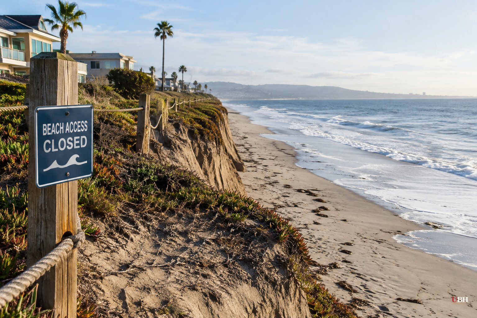
California's Fifth Climate Change Assessment landed Monday, Oct. 19, and the headline number is about sand. Depending on how high the ocean rises, between 24% and 75% of the state's beaches could disappear, either seasonally or permanently, according to the report.
The assessment is commissioned by the state and led by the Governor's Office of Land Use and Climate Innovation. California has published one since 2006, and this is the most expansive so far.
The coast
For Southern California specifically, the report says the region is on track to lose 30% to 70% of its beaches over the next several decades. Almost half of beach cliffs are likely to retreat 30 to 80 feet by 2100.
A 1.6-foot rise in sea level by 2060 would leave low-lying areas exposed, including the ports and the beaches at Santa Monica, Venice and Redondo. One estimate in the report puts 15,000 people in Los Angeles County in the flood zone. Statewide, sea level rise could put $78 billion in coastal property at risk.
Highly developed stretches of Southern California face some of the worst losses, the report says.
Heat, water and fire
The report projects average temperatures rising between 3.5 and 4.3°F by 2050, with heat waves about 50% longer. Inland areas warm fastest. Inland Los Angeles-region communities could see the hottest day of the year top 115°F by mid-century. San Bernardino is projected to see 120 days a year above 95°F, up from 81 historically.
The Sierra Nevada snowpack is projected to shrink about 40% by mid-century and 60% by 2100, as more precipitation falls as rain. Average precipitation overall is not expected to change much, but wet and dry years will both become more frequent and droughts will last longer.
Los Angeles imports the vast majority of its water. The report says those imports will fall 7% to 13% by mid-century because the source regions are drying out.
The area burned by fires each year is projected to rise 50% by mid-century absent changes in land management. Smoke could cause more than 5,000 extra deaths a year by 2050, the largest increase of any state, according to the report.
Humans started about two-thirds of California's wildfires over the last 30 years, the report notes. It says climate change adds risk through drier fuel, longer fire seasons and more days of dangerous fire weather.
Scenarios, not certainties
The projections depend on emissions scenarios, and the report calls its worst case unlikely. Edwards said the intermediate scenario "is still within reach." The state's 135-day "summer" projection, up from roughly 90 days, is a mid-century figure.
"The future is not predetermined," said Abby Edwards, senior deputy director of the Governor's Office of Land Use and Climate Innovation. She called the report "a call to action" to double down on mitigation. Gov. Gavin Newsom framed the findings as a reason to intensify climate action while the Trump administration rolls back environmental protections.
Pramod Khargonekar, the report's lead editor, said: "What we know, by and large, is the state is going to get hotter. There are going to be more wildfires and droughts and variations in precipitation." He also warned that hazards compound, such as a wildfire followed by flooding.
The coast is already moving
The beach forecast is not abstract this fall. Tropical Storm Rachel sent a powerful surge and very high tides into the Southern California coast on Oct. 11, boarding up wave-damaged homes in the Capistrano Beach community of Dana Point.
Scientists tie part of the flooding to a Kelvin wave, a slow subsurface pulse of water that is one of El Niño's first effects. NASA Jet Propulsion Laboratory scientist Josh Willis calls these waves "the heartbeat of El Niño." They can raise sea level several inches to more than a foot along the California coast. Layered on high tides, storm waves and long-term sea level rise, the effect worsens.
El Niño could strengthen to historic intensity this winter. "We're in for a run of pretty exceptional erosion events if this Super El Niño develops as it's expected to," said Sean Vitousek, a U.S. Geological Survey oceanographer.
In San Clemente, the main regional rail line runs along the water's edge. The Orange County Transportation Authority said severe waves and high tides overtopped the tracks in early September, forcing repeated closures. The corridor carries $1 billion in freight a year and is the nation's second-busiest passenger line, according to the Guardian's reporting.
The seawall fight
The usual response to eroding shoreline is to armor it, and a report released today, Oct. 20, by the Surfrider Foundation says that approach has costs.
Surfrider's 2026 State of the Beach Report says roughly 27,000 tons of riprap have been placed along the San Clemente rail corridor under a series of emergency permits issued since 2021. The group says the barriers have made a stretch of beach connecting Trestles to the rest of San Clemente impassable.
Surfrider contends that shoreline armoring can block natural sand replenishment and accelerate erosion on neighboring properties. "An emergency permit should buy time for meaningful adaptation, not become a poor substitute for it," said Emma Haydocy, the group's senior manager for its Coasts and Climate Initiative.
The group graded California a C for its emergency-permit laws. It graded 27 of 30 states evaluated at C or lower. The grades reflect the text of state laws, not how consistently they are enforced.
The tradeoff is concrete. The riprap protects a rail line carrying a billion dollars of freight, while Surfrider says it is costing the public a beach.
What comes next
More than a thousand people, including tribal leaders and local, state and nonprofit officials, are expected in Sacramento today for the first Resilient California Summit. The three-day event opens with the assessment's findings. It is the first venue where officials will have to say which coastal and inland risks get money first.
Sources used for this briefing
7 links from 7 independent newsrooms (syndicated copies of the same report count once)
These are the sources it draws on, linked so you can verify.