
Unbiased headlines. Facts, not spin.
Unbiased Headlines is an independently owned news organization. We bring you the facts, not opinions, written fresh from 110+ named sources. Sources linked so you can verify it yourself.
 economy
Notable (5/10)
Bureau of Meteorology Warns of Destructive Winds Above 125 km/h as Cold Front Moves Up Australia's East
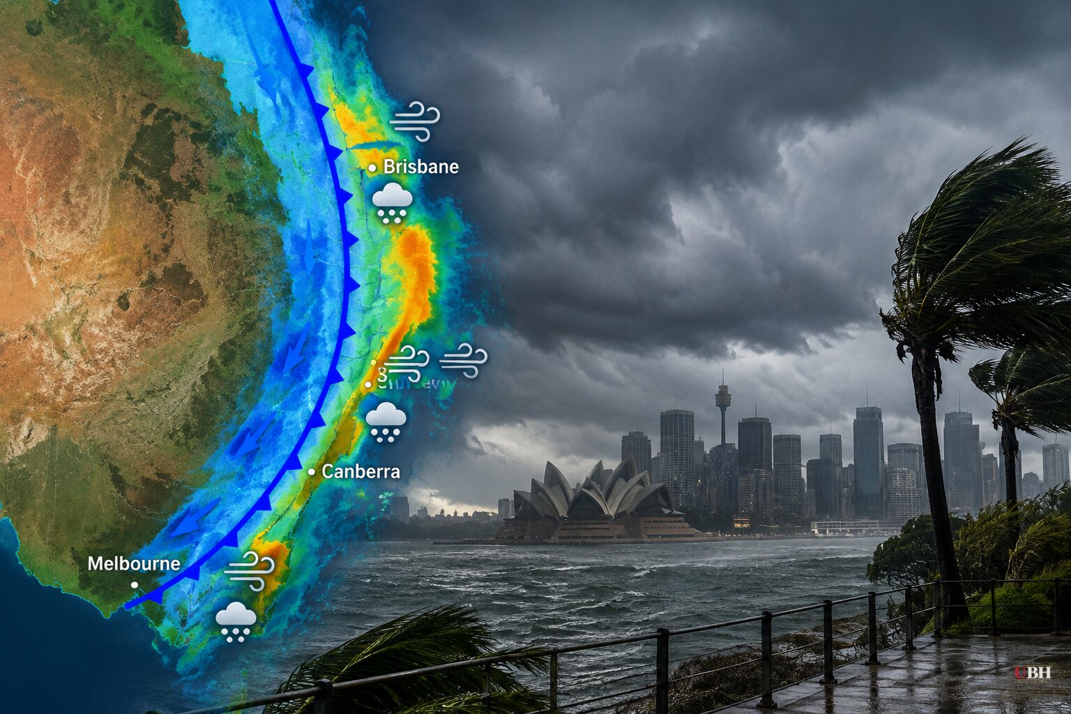
Since Friday, Oct. 30, when a trough set off thunderstorms over inland Queensland and a developing front brought rain and storms to parts of South Australia, the system has moved into the southeast. The Bureau of Meteorology (BoM) now has warnings in place for multiple capital cities.
The cause is straightforward. A cold front is running into warm, humid air. Weatherzone meteorologist Ben Domensino said the pattern is a low pressure trough and cold front fuelled by abundant tropical moisture and "copious atmospheric instability."
Saturday: Victoria first, then inland NSW
Melbourne and parts of Victoria had moderate rain and some lightning on Saturday morning. The BoM expects a stronger band of thunderstorms through the afternoon.
"It's this follow-up band of storms which could pack a punch," BoM meteorologist Angus Hines said on Saturday.
Damaging winds are the greatest risk. The bureau named Melbourne, parts of Gippsland, the north-eastern ranges and north-central Victoria. It warned of possible destructive gusts above 125 km/h that could bring down large trees or damage property.
A severe wind warning also covers the mountains of northern Victoria and southern NSW. Gusts above 100 km/h were recorded there on Saturday morning.
The front is forecast to push through Canberra and inland NSW into the evening. The risk area stretches north to Queensland's southern interior and along the NSW coast south of Sydney, around Wollongong and the Illawarra. Forecasts there include damaging winds, heavy rain and large hailstones.
Hines expects "some very active storms" in mid to late afternoon for many of these areas. Storms may not reach the east coast until the evening.
Weatherzone's forecast describes Saturday's storms as fast-moving. It says rain, thunderstorms and blustery winds will also reach Tasmania, the ACT and the southeast of South Australia.
Sunday: NSW north coast and southeast Queensland
The concern moves north on Sunday. The BoM expects heavy rain and storms around Brisbane in the afternoon and early evening.
Severe thunderstorms are most likely in the NSW mid-north coast, the Northern Rivers, parts of the Tablelands and the Hunter region. Forecasters flag possible hail, heavy rainfall, flash flooding and destructive winds above 125 km/h.
A broader area of potential concern runs from Newcastle, north of Sydney, up to Gympie on the Sunshine Coast.
Flash flooding is a particular worry where the ground is already wet. Hines said areas with heightened rainfall over the past fortnight are at risk.
"If you do live through this area, tomorrow is definitely a day you'll want to keep a watch on the radar to see if any big storms are headed your way," he said.
What is known and what is not
All of this is forecast. The BoM warnings describe what is possible, not what has happened. As of Saturday, Oct. 31, the sources report no confirmed storm damage, injuries or outages from this system.
The forecast is also specific about timing. Saturday afternoon and evening are the window for Victoria, inland NSW and the Illawarra. Sunday afternoon and early evening are the window for the NSW north coast and Brisbane.
The next checkpoint is the BoM's updated warnings. They will show whether the Sunday band of severe thunderstorms from Newcastle to Gympie arrives as forecast, and whether the 125 km/h gust threshold is reached anywhere.
Sources used for this briefing
7 links from 6 independent newsrooms (syndicated copies of the same report count once)
These are the sources it draws on, linked so you can verify.