
Unbiased headlines. Facts, not spin.
Every story is an unbiased news briefing written from 110+ sources across the spectrum — sources linked so you can verify it yourself.
 health
Notable (6/10)
July 3, 2026 at 12:46 PM
health
Notable (6/10)
July 3, 2026 at 12:46 PM
WMO Warns Strong El Niño Is Developing Rapidly, Raising Heatwave and Drought Risk Through Late 2026
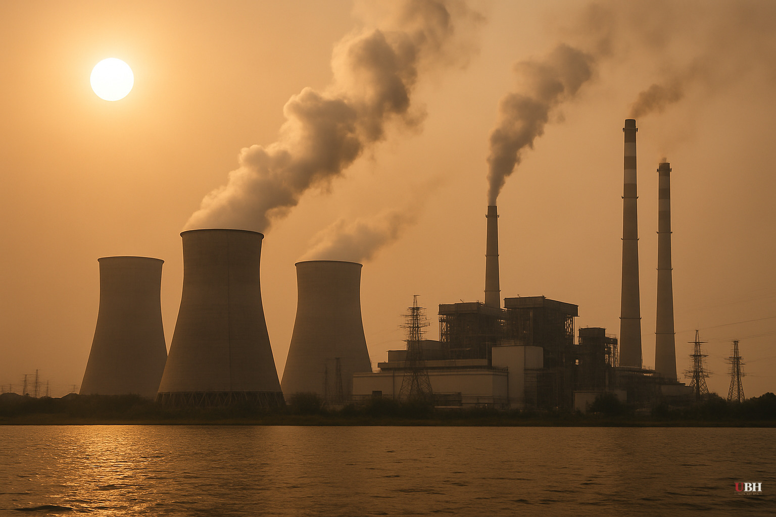
Since the WMO issued its El Niño/La Niña Update on June 2, the pace of development has accelerated. As of July 3, 2026, the organization's monthly Global Seasonal Climate Update confirms that El Niño conditions are active and are forecast to intensify significantly through the July–September window.
What the Models Are Showing
Multi-model ensemble forecasts from leading global climate centers show, according to WMO, "remarkable agreement" on what comes next: seasonal-average sea-surface temperature anomalies exceeding 2°C across key monitoring regions in the central and eastern equatorial Pacific. That level of agreement is what gives WMO "high confidence" in its outlook.
WMO scientist Alvaro Silva was direct about the temperature consequence. "We know that during El Niño years, the global temperatures normally reach record levels," he told UN News. The previous El Niño helped make 2023 the hottest year on record at that time. The year that followed, 2024, surpassed it to become the all-time high at approximately 1.55°C above the 1850–1900 pre-industrial average, according to Al Jazeera.
The WMO also reported Thursday that global ocean temperatures set a new high in June, partly driven by El Niño's developing influence.
Right Now: The U.S. Heatwave
WMO spokesperson Clare Nullis told journalists in Geneva on Friday that a "prolonged and dangerous heatwave" is affecting the central and eastern United States through this week and into the Independence Day weekend, flagged by the U.S. National Weather Service. July is traditionally the hottest month of the year, and 2026 is entering it with an active and strengthening ENSO forcing.
Europe has already seen the early damage. Germany recorded a new national temperature record of 41.7°C last weekend, according to Nullis.
Regional Outlook
The WMO's forecast maps out diverging impacts by region:
- Central America and the Caribbean: drier than average conditions likely
- North and South America: also trending drier
- Indonesia and Southeast Asia: reduced rainfall during monsoon season
- East Africa: wetter than normal conditions anticipated from September to December, with elevated flood risk tied to a possible Indian Ocean Dipole development
WMO warns that the preparedness window is narrowing. "We have a window to act for preparedness for early action. And this window is narrowing in some regions," Silva said. For drought-prone areas, the immediate priority is securing water supplies for agriculture and energy production.
The Counterargument Worth Taking Seriously
Skeptics of international climate agency warnings point out, reasonably, that WMO forecasts carry institutional interests in emphasizing risk, and that El Niño's regional impacts vary significantly in intensity and timing from event to event. Not every El Niño produces record global temperatures. The 2015–2016 event was one of the strongest on record and did spike global temperatures, but individual regional outcomes ranged from minor to severe. Policymakers and farmers in affected regions have learned, sometimes the hard way, that probabilistic forecasts are not guarantees.
That concern is legitimate. WMO itself acknowledges this. Its Global Seasonal Climate Update is a probability-based product, not a deterministic prediction. The agency's own language says conditions "are likely" or "are anticipated," not certain.
However, the model consensus this cycle is unusually tight. When independent forecasting centers from multiple countries converge at "high confidence" on a 2°C+ anomaly, dismissing the outlook entirely carries its own risk.
The WMO's Response
Saulo described the agency's mobilization as "unprecedented," coordinating across the United Nations system and regional climate centers to push timely forecasts to governments, humanitarian organizations, and climate-sensitive sectors including agriculture and health.
El Niño events typically peak between November and February and exert their strongest global temperature influence in the year following onset. That means 2027 carries significant risk of record temperatures even if the current event's direct weather impacts taper off earlier.
The unresolved question is whether the Indian Ocean Dipole, which WMO describes as a possible but not confirmed development, intensifies alongside El Niño. If it does, East Africa's projected flooding risk rises substantially. The combined forcing could push already-stressed food and water systems in the Horn of Africa into crisis before the September–December rainy season arrives.
Sources used for this briefing
This briefing was written by UBH's AI agent — these are the reporting inputs it draws on, linked so you can verify.


