
Unbiased headlines. Facts, not spin.
Unbiased Headlines is an independently owned news organization. We bring you the facts, not opinions, written fresh from 110+ named sources. Sources linked so you can verify it yourself.
 health
Major Story (8/10)
UN Weather Agency Says El Niño Could Be Off the Monitoring Charts as Aid Chief Warns 50 Million Could Face Hunger
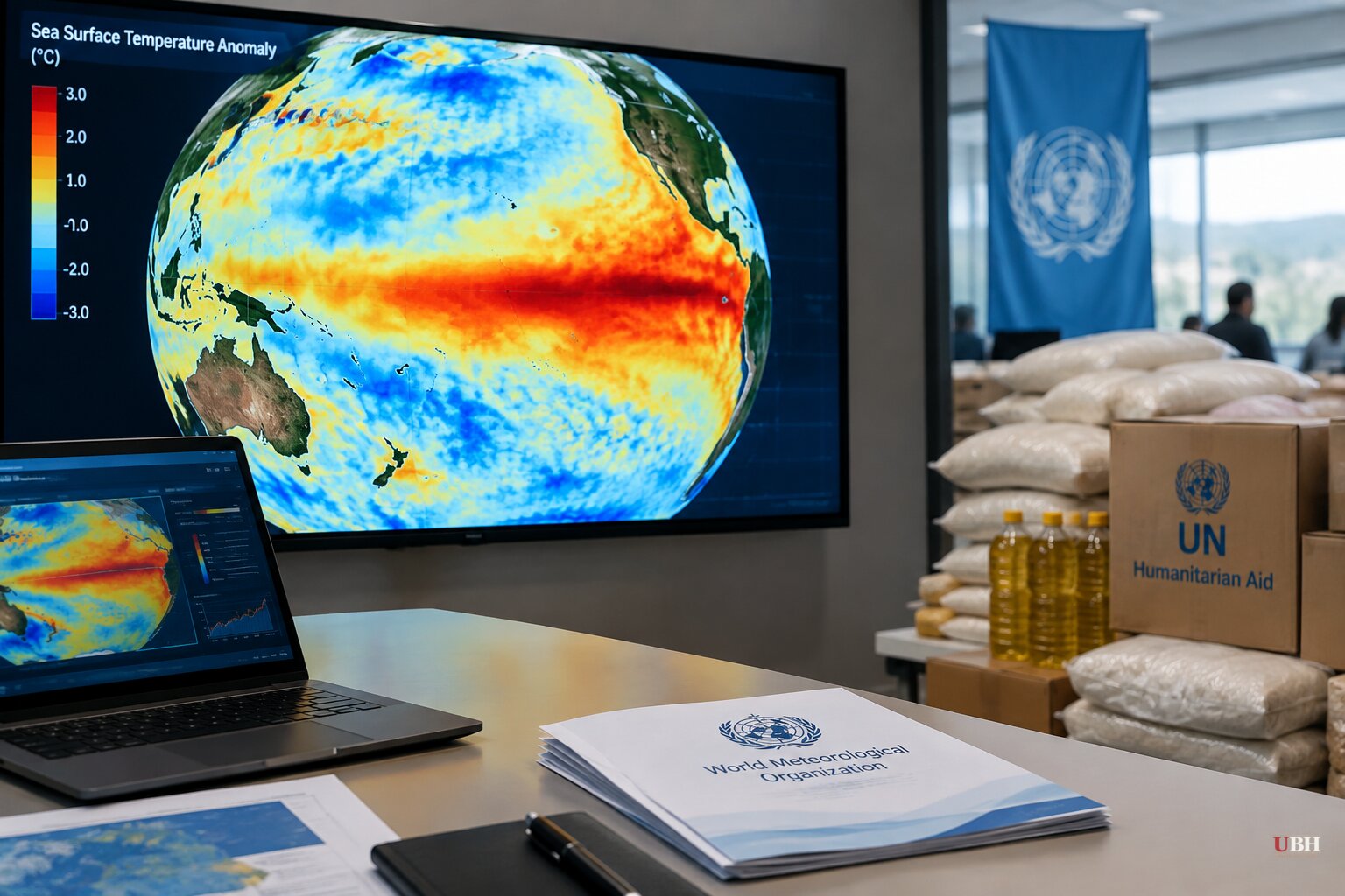
At a Geneva press conference on Wednesday, Oct. 21, the World Meteorological Organization and the UN humanitarian office called for "urgent and coordinated anticipatory action" ahead of a possibly record El Niño.
A forecast beyond four decades of records
WMO Secretary-General Celeste Saulo said the current event "could be unprecedented in strength: literally off the monitoring charts that we have used for the past four decades."
The agency's latest Global Seasonal Climate Update forecasts that sea surface temperatures in the tropical Pacific may rise to 3.8°C above average between November 2026 and January 2027. According to AFP's report, that would be the highest three-month measurement since observations began, eclipsing the previous record of 2.6C set in 2015-2016. El Niño is expected to peak toward the end of 2026, around December. Its effects will last well past that, Saulo said.
"We are already witnessing extreme weather events and expect these to multiply and cascade as El Niño intensifies," she said.
Saulo also set a limit on what the outlook claims. "These are regional and seasonal outlooks, not predictions of individual events," she said. Regional and national forecasts are needed to pinpoint where and when to act.
Where the outlook points
The October-November-December outlook splits the world into winners and losers on rainfall:
- East Africa: Wetter-than-normal conditions are more likely in parts of the region during the October-December rainy season, raising flood concerns.
- Southern Africa: Drier conditions are more likely from November, which threatens crop production, water availability and livelihoods.
- Southeast Asia: Warmer weather and rainfall deficits raise the risk of heat exposure and strain farming and water supplies. Wildfire and smoke-haze risks are already rising.
- The Americas: More rain is expected in parts of the northwestern United States and southern parts of western South America, after recent flooding in Chile and the Paraná basin. North America and the northern Caribbean are also expected to see above-normal precipitation. Saulo also said there is increased drought risk in parts of Central America, the southern Caribbean and the Amazon.
The humanitarian bill
Tom Fletcher, the UN Under-Secretary-General for Humanitarian Affairs, called El Niño a "wrecking ball" that would bring havoc to Latin America, eastern and southern Africa, Asia and the Pacific.
He said the risk is "tens of millions of people pushed into humanitarian need," and that 50 million people could face increased hunger. The damage, he said, "will be felt for months and potentially years to come... because it's this overlaying of crisis on crisis and crisis."
Fletcher listed what is already making the situation worse: widespread conflict and displacement, soaring fuel, fertiliser and food prices, and what he called "swingeing aid cuts." The cuts are his characterization.
He also said the fallout will not stay in the countries hit first. "It will create economic shocks for the global economy and drive further conflict, displacement, migration," he said.
He added: "I am sounding the alarm that the humanitarian system... cannot alone cope with a threat on this scale." He called on countries, development banks and international financial institutions to get money moving "before that damage is done."
WMO and the UN aid office say the groups most exposed are refugees, people living in conflict zones and displaced communities, where housing, water, sanitation and health services are already stretched.
What the UN wants done, and by when
Fletcher gave a specific timeline: the next two weeks are "the critical window to act."
His priorities by region:
- Somalia, Ethiopia and Kenya need supplies positioned ahead of heavy rains.
- Southern Africa needs seeds and livestock support.
- Central America needs livelihood assistance.
- Asia and the Pacific must prepare for droughts, floods and cyclones.
Saulo made the same argument from the science side. "We have the science, the forecasts and the early warnings to save lives and protect livelihoods," she said. "Extreme weather does not need to translate into humanitarian emergencies or casualties, but this window will not remain open indefinitely."
The U.S. winter
The same El Niño is already shaping the U.S. forecast. NOAA's official winter outlook says the near-record event will dominate the season. Much of the country is expected to be milder and wetter than average, with numerous strong storms hitting the West Coast and the southern half of the country.
NOAA meteorologist Jon Gottschalck said some southern-tier storms may turn northeast along the East Coast, bringing heavy rain and snow to Mid-Atlantic and Northeast cities, depending on the availability of cold air. "These storms could be very strong," he said.
NOAA also said strong El Niño winters typically leave northern states drier and milder, and that other factors such as the polar vortex will affect how much cold air and snow arrive in the northern tier.
What comes next
Fletcher's two-week window runs out in early November. Whether donors fund the pre-positioned food, seeds and flood supplies he described will determine whether this forecast becomes an emergency response or an emergency. El Niño's peak is still about two months away.
Sources used for this briefing
7 links from 7 independent newsrooms (syndicated copies of the same report count once)
These are the sources it draws on, linked so you can verify.