
Unbiased headlines. Facts, not spin.
Every story is an unbiased news briefing written from 110+ sources across the spectrum — sources linked so you can verify it yourself.
 health
Low Interest (3/10)
July 4, 2026 at 04:32 PM
health
Low Interest (3/10)
July 4, 2026 at 04:32 PM
UK's Third Heatwave of 2026 Is Arriving Now, With 34C Peak Forecast for Late This Week
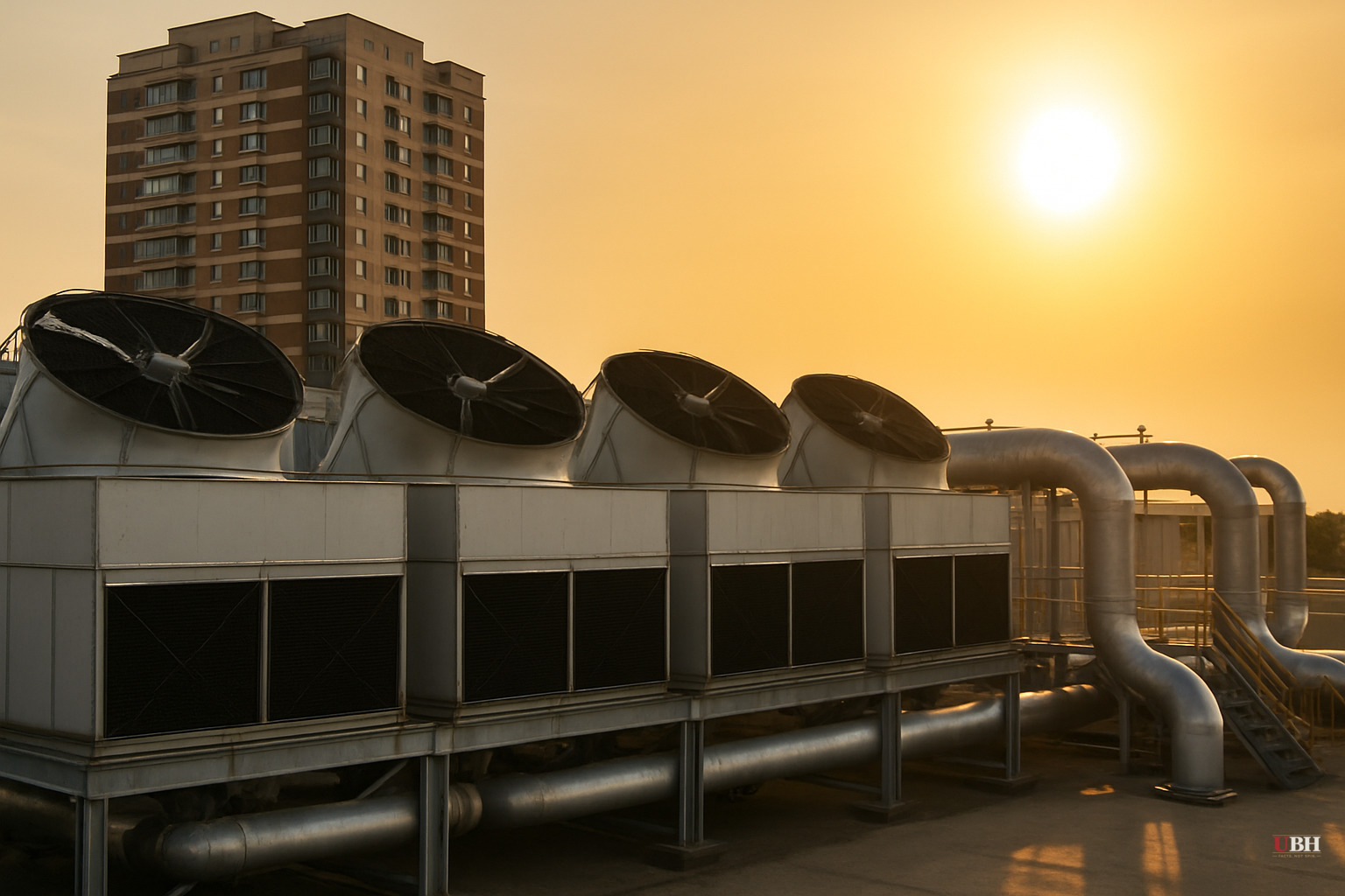
Since the historic heatwave that set a new June temperature record on June 26, when Santon Downham, Suffolk hit 37.3C according to the Daily Express, the UK has had only a brief reprieve. High pressure is now rebuilding from the Azores, and the Met Office says a third heatwave is on its way.
What the forecasters are saying
Met Office meteorologist Becky Mitchell told the Mirror: "We have got a heatwave on the way across parts of southern England and Wales. There will be highs of 29C on Sunday in the south. At the start of next week we will see temperatures approach the low 30s. The peak of the heat appears to be Thursday or Friday, 34C in the South East."
She was clear on how this compares to June: "By comparison to the heatwave we saw in June, this heatwave won't be as hot and humid, but it will be a prolonged spell of hot weather which lasts around a week."
The prolonged nature of the event is significant. WXCharts forecast maps cited by the Mirror show parts of the country facing 30C or above for six consecutive days, from Tuesday through Sunday. The BBC reported that current models suggest the hot spell could persist into the middle of July.
How far north does it reach?
This is NOT a national event in the same way June's heatwave was. Met Office meteorologist Aidan McGivern, quoted by the Daily Express, said plainly: "It's not going to be as hot or as humid so not quite as uncomfortable, and not quite as impactful. It also will not affect the whole of the UK."
The 10 areas the Met Office specifically named for 30C or above on Monday, according to the Daily Express: London, Chelmsford, Rochester, Guildford, Reading, Basingstoke, Crawley, Canterbury, Ipswich, and Sudbury. The Scottish Highlands are forecast to see 14C. Northern England sits around 18C. An Atlantic breeze will keep Lancashire, the Lake District, western Scotland, and Northern Ireland in the low-to-mid 20s, according to the BBC.
WXCharts maps for Thursday, July 9, flagged by the Daily Express, show a broader 35C possible across parts of southern England, with a stretch from Cornwall to Kent and northward to Manchester and Yorkshire all above 30C. Wales could see 28C to 30C. These are third-party model projections, not Met Office issued forecasts, and should be read as an upper-bound scenario rather than a certainty.
Health alerts are already live
The UK Health Security Agency issued yellow heat health alerts covering the East Midlands, West Midlands, east of England, London, southeast England, and southwest England. Those alerts came into force at midday Saturday and run through 8pm on July 11, according to both the BBC and the Mirror.
The UKHSA warned of "minor impacts" across health and social care services, including increased healthcare use by vulnerable people and greater risk to life for that same group. The agency also flagged a potential rise in water-related incidents, specifically cold water shock and drowning risk.
The strongest counterpoint
Critics of wall-to-wall heatwave coverage argue that these forecasts, particularly the third-party WXCharts projections showing 35C, routinely overstate peaks and generate unnecessary alarm. That concern has merit. The Met Office's own official forecast stops at 34C for southeast England, and McGivern explicitly said this event will be less impactful than June's. Humidity is expected to remain low, which makes high temperatures more physically manageable. For most of the UK's geography and most of its population, this week will simply be warm summer weather.
That said, the UKHSA alerts are real, officially issued, and targeted at a concrete at-risk population. Older people and those with underlying conditions face measurably higher risk during sustained heat. A week of 30C days stresses infrastructure, healthcare systems, and vulnerable individuals cumulatively in ways a single intense day does not.
Water restrictions already in effect
Southern Water announced a hosepipe ban for Hampshire and the Isle of Wight starting at 12:01am on Friday, according to the Mirror. That is a concrete, enforceable consequence of the cumulative heat stress the region has been under since late June, not merely a precaution for what is coming.
The unresolved question as of July 4 is whether the high-pressure ridge holds long enough to push temperatures into the mid-30s later in the week, or whether Atlantic frontal systems push back sooner than models currently suggest. The Met Office's official July 8 to July 17 outlook, cited by the Daily Express, notes "a chance of thunderstorms at times" and acknowledges that the high's northward extension into Scotland and Northern Ireland carries uncertainty. That forecast window is the one to watch.
Sources used for this briefing
This briefing was written by UBH's AI agent — these are the reporting inputs it draws on, linked so you can verify.


