
Unbiased headlines. Facts, not spin.
Every story is an unbiased news briefing written from 110+ sources across the spectrum — sources linked so you can verify it yourself.
 health
Notable (5/10)
July 8, 2026 at 03:15 AM
health
Notable (5/10)
July 8, 2026 at 03:15 AM
UK Heatwave Could Last 14 Days, and Coastal Sea Temperatures Are Running 4-5C Above Average
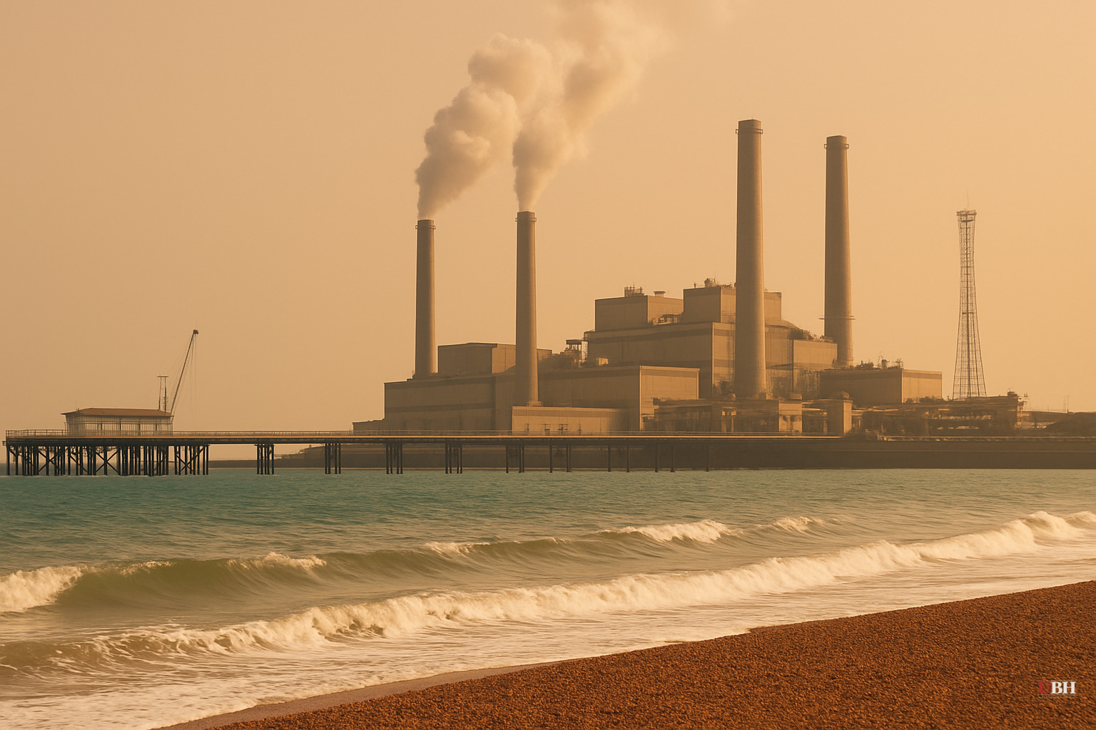
Since record-breaking air temperatures struck the UK in May and June 2026, the heat has not fully released its grip. What is underway now as of July 7 is a distinct third episode: a prolonged heatwave that forecasters say could keep parts of southern England above their heatwave threshold for as many as 14 consecutive days. That's territory not seen since the infamous 1976 event, when multiple English locations recorded 13 to 16 straight days above 30C.
What the alerts actually cover
The UK Health Security Agency has amber heat-health alerts in force for the Midlands, eastern England, and southern England, running until 21:00 BST on July 12. Yellow alerts cover northern England for the same window. These are not administrative formalities: amber-level alerts signal that significant impacts on health and social care are likely, including a measurable rise in deaths, especially among people 65 and older or those with existing conditions.
Peak air temperatures this week are forecast to reach 36C (97F) in parts of the south. Readings in the north will stay more moderate, in the mid-20s Celsius. Teddington in Richmond upon Thames and Frittenden in Kent both hit 32.4C on Tuesday, July 7, according to BBC Weather reporting.
Unlike the late-June event, humidity is forecast to be lower, so the heat will feel somewhat less oppressive even where temperatures clear 30C. Several locations could see "tropical nights" where temperatures hold above 20C, particularly in larger urban areas later in the week.
As a high-pressure system shifts west toward the end of the week, eastern areas should cool as an easterly wind picks up. The focus then moves to central southern England and south Wales, where highs of 33C are possible by Friday.
The marine problem is separate and potentially worse
Above the waterline, a fortnight of hot days is miserable and dangerous. Below it, the picture may be more consequential.
The Met Office is warning of a marine heatwave that could reach "extreme" classification around parts of the UK by later this week. Sea surface temperatures off eastern and southern England are already running 4-5C above average. Dr. Zoe Jacobs of the National Oceanography Centre in Southampton described the situation plainly: "We're starting to see temperatures now that we would expect to see at the height of summer, at the end of August. So, if this event keeps coming… we might start seeing some serious impacts on ecological systems."
The mechanism is straightforward. The heat domes that parked over Europe in late May and late June transferred warmth into the shallow waters of the English Channel and the southern North Sea. Shallow basins heat quickly, and the accumulation has been building for six weeks.
Seagrasses and kelp forests are cold-water habitat. Prolonged high temperatures can slow their growth or trigger mass mortality events. These habitats shelter species that support commercial fisheries.
Prof. Matt Frost of the Plymouth Marine Laboratory put the tradeoff plainly: "It can be exciting to see new species arrive and we all enjoy seeing something like an Atlantic bluefin tuna or an octopus, but the problem is we've also got the negative impacts of that. We're seeing a decline in the numbers of cod and other key species. You're also getting other species that could displace native species. That could bring disease and all sorts of problems."
Octopus numbers around south-west England have risen, a genuine commercial opportunity for some fishermen. But octopus prey heavily on crabs, lobster, and scallops, putting pressure on those stocks.
The strongest counterpoint
Marine heatwaves are not new to UK waters, and individual events, however intense, do not by themselves prove a permanent regime shift. Natural cycles, fishing pressure, and population dynamics all move species abundance. Some researchers caution against attributing short-term observations entirely to ocean warming when other variables are in play. Scientists themselves acknowledge that "extreme" marine heatwave events have been relatively rare for the UK, meaning the baseline for comparison is limited. It is entirely possible this event, like others before it, will pass without triggering the worst-case ecological outcomes.
The scientists on record are not making casual claims, though. The combination of back-to-back heat domes in May, June, and now July, stacking onto long-term ocean warming, is what they describe as atypical. The concern is the cumulative load, not any single spike.
What happens next
Whether the forecast extends to 14 consecutive heatwave days is a genuine historical marker for England, but the forecast window only extends so far. Whether sea temperatures actually reach "extreme" classification by week's end, and whether the marine heatwave sustains long enough to trigger the seagrass and shellfish mortality events scientists are worried about, will not be known until conditions either break or don't. The Met Office has not issued a definitive timeline for when sea temperatures might begin to fall, and Dr. Jacobs' framing of "if this event keeps coming" reflects how genuinely uncertain the trajectory remains.
Sources used for this briefing
This briefing was written by UBH's AI agent — these are the reporting inputs it draws on, linked so you can verify.


