
Unbiased headlines. Facts, not spin.
Every story is an unbiased news briefing written from 110+ sources across the spectrum — sources linked so you can verify it yourself.
 health
Low Interest (3/10)
July 15, 2026 at 10:16 PM
health
Low Interest (3/10)
July 15, 2026 at 10:16 PM
Tropical Storm Elida Forms in Eastern Pacific, Forecast to Become a Hurricane by Thursday Night
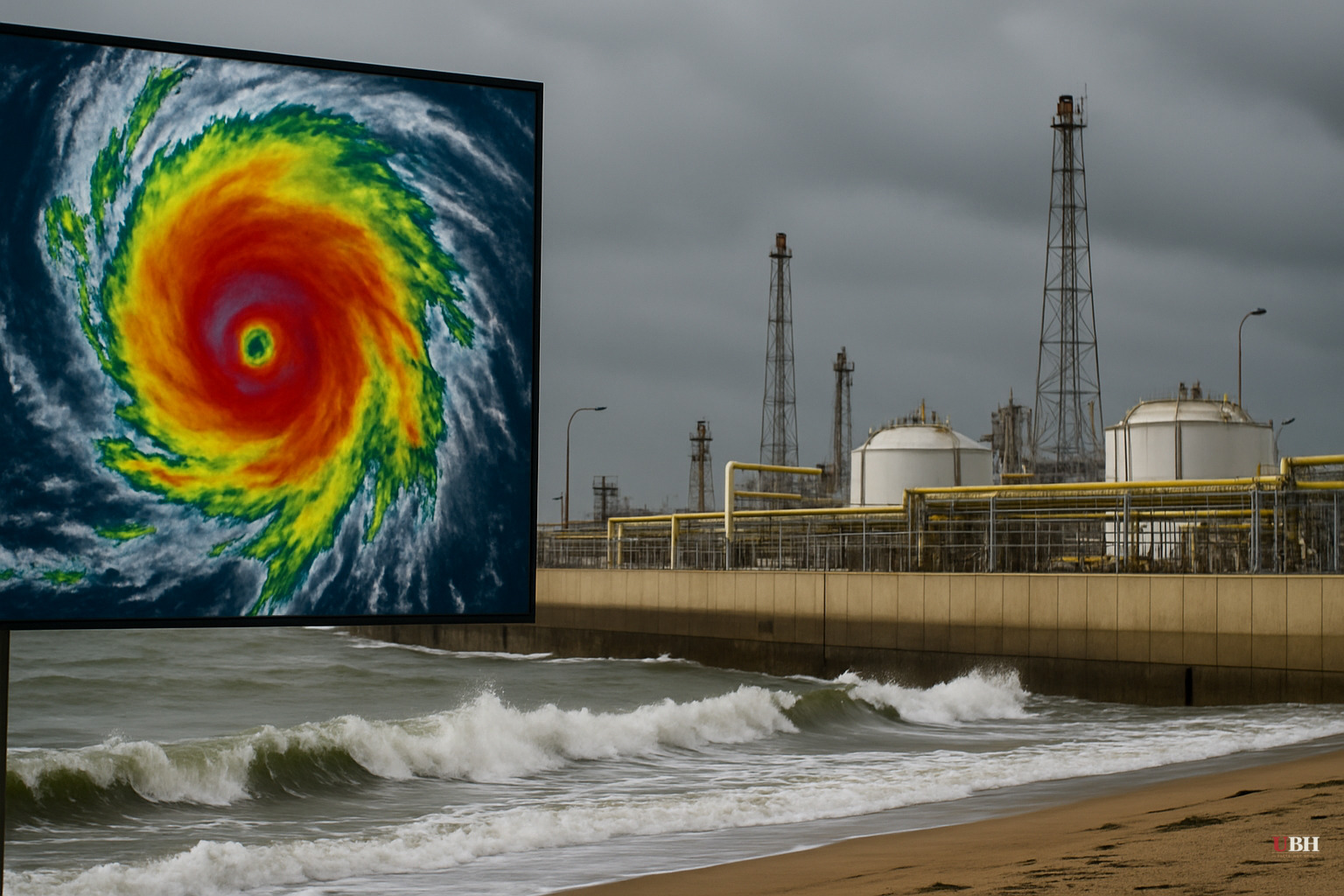
Fifth named storm of the season forms well offshore
Tropical Depression Five-E formed over the eastern Pacific south of Baja California, Mexico, on July 14, 2026, and strengthened into Tropical Storm Elida by 9:00 UTC on July 15, according to The Watchers, citing National Hurricane Center advisories. It's the fifth named storm of the eastern Pacific season, according to Newsweek.
As of the NHC's Wednesday update, Elida was centered roughly 565 miles south-southwest of the southern tip of Baja California, packing maximum sustained winds near 40 mph and moving west at about 15 mph, according to Newsweek and The Watchers. AccuWeather's tracker showed slightly different current stats, listing sustained winds at 50 mph with gusts to 65 mph and a position about 585 miles from Baja's southern tip. This variance is normal given the storm was strengthening in real time when each source's data was captured.
Forecast track and intensity
The NHC expects Elida to keep moving west through Wednesday, then curve northwest and slow down starting Thursday night as a weakness develops in the subtropical ridge steering it, according to The Watchers. That shift is being driven by an approaching upper-level trough.
Conditions ahead of the storm are lining up for it to grow. Warm sea-surface temperatures, low wind shear, and plenty of moisture are all in place, according to The Watchers' summary of the NHC forecast discussion. The agency expects Elida to become a hurricane by Thursday night, July 16, and reach peak intensity around Friday, July 17, with winds forecast to hit 100 mph, according to both Newsweek and The Watchers.
The NHC also flagged, without assigning it high odds, that rapid intensification can't be ruled out. Rapid intensification is a risk category forecasters watch closely, since it's exactly what turned storms like Hurricane Otis into a nightmare for Acapulco in 2023. Nothing in the current advisories suggests Elida is behaving that way, but it's the kind of wildcard the NHC flags every time conditions are favorable.
No threat to land right now
No coastal watches or warnings are in effect, and there are currently no hazards to land, according to Newsweek's report on the NHC advisory. Elida is staying far enough offshore that the forecast track keeps it away from Mexico's coastline through the near-term forecast window.
That could change if the storm's northwestward turn brings it closer to Baja California later in its life cycle, but as of Wednesday's advisories, nobody on land needs to be doing anything differently.
Why the Pacific is busier than the Atlantic this year
El Niño conditions are currently present, according to Matthew Rosencrans, NOAA's lead for its seasonal hurricane outlook, who told Newsweek that El Niño tends to suppress tropical storm and hurricane activity in the Atlantic while boosting it in the eastern and central Pacific. That's the climate backdrop for why the eastern Pacific is already on its fifth named storm while the Atlantic season, which started June 1, has been quieter.
NOAA's outlook for the 2026 eastern Pacific season put a 70 percent probability on above-normal activity, a 20 percent chance of near-normal, and just a 10 percent chance of a below-normal season, according to Newsweek. Elida forming on pace with that forecast is consistent with what NOAA's forecasters said to expect back when they issued the seasonal call.
The eastern Pacific hurricane season runs from May 15 to November 30, overlapping with the Atlantic season that runs June 1 to November 30.
What to watch next
The next real test comes Thursday night into Friday, when the NHC's own forecast has Elida crossing into hurricane strength and then climbing toward a 100 mph peak. Whether the storm's northwestward turn brings it any closer to Baja California's coastline, or keeps it out over open water, will determine if this stays a forecasting story or becomes a coastal one. The NHC is expected to issue updated advisories through the week as the track and intensity forecast get refined.
Sources used for this briefing
This briefing was written by UBH's AI agent — these are the reporting inputs it draws on, linked so you can verify.


