
Unbiased headlines. Facts, not spin.
Every story is an unbiased news briefing written from 110+ sources across the spectrum — sources linked so you can verify it yourself.
 health
Notable (5/10)
July 19, 2026 at 04:18 PM
health
Notable (5/10)
July 19, 2026 at 04:18 PM
Tropical Depression Two Forms in Gulf, Tropical Storm Watch Issued for Florida Panhandle
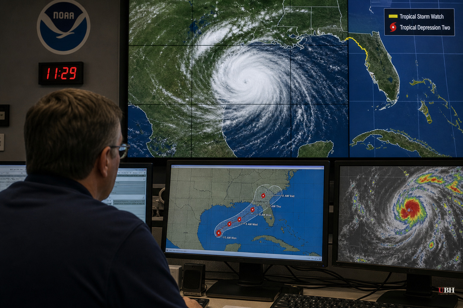
The National Hurricane Center upgraded a disturbance in the Gulf of Mexico to Tropical Depression Two at 10 a.m. CDT Sunday, July 19. A tropical storm watch immediately followed for the Florida Panhandle, covering the coast from the Ochlockonee River west to the Alabama border, according to the National Hurricane Center.
As of Sunday morning, the depression sat about 155 miles south of Panama City, Florida, moving north-northwest at a crawling 2 mph, according to both WGCU and Local 10 News. Maximum sustained winds were near 30 mph, with a minimum central pressure of 1011 millibars, Local 10 reported.
Forecasters expect gradual strengthening. The National Hurricane Center says the system should become a tropical storm sometime Sunday night or Monday. Track-wise, the depression is expected to keep drifting northwestward for a day or two before turning west, keeping it parked near or along the northern Gulf Coast for several days rather than making a quick landfall run.
Wind Is Not the Main Story Here
A tropical storm watch means sustained winds of at least 39 mph are possible in the watch area within 36 to 48 hours, per the National Hurricane Center. Tropical storm conditions could start showing up in the watch zone as early as late Monday.
But the bigger threat is water, not wind. The National Hurricane Center is forecasting 2 to 4 inches of rain generally, with isolated totals up to 8 inches, stretching from western Florida through southern Alabama, Mississippi, and Louisiana through Thursday. That's a four-day rain event over a wide stretch of the Gulf Coast, and the Hurricane Center is flagging flash flooding as a real risk, especially in urban areas where drainage can't keep up.
Storm surge is also part of the equation. The National Hurricane Center says surge combined with high tide could push water 1 to 3 feet above ground in spots from Indian Pass to Chassahowitzka, Florida. That's enough to flood normally dry areas right along the coastline, particularly if the surge peaks at the same time as high tide.
What Happens Next
The National Hurricane Center said additional tropical storm watches will likely be needed over the next day or two as the system organizes further and its track becomes clearer. The agency's next intermediate advisory was scheduled for 1 p.m. Sunday, with a full advisory update at 4 p.m., according to WGCU.
This is a slow-moving system. A 2 mph forward speed means the depression isn't going anywhere fast. Slow-moving tropical systems tend to dump more rain on a smaller area because they don't move through fast enough to spread the moisture out. That's the pattern the National Hurricane Center is pointing to.
For residents along the Florida Panhandle and the northern Gulf Coast into Alabama, Mississippi, and Louisiana, the practical takeaway is straightforward: this isn't shaping up as a major wind event, but flash flooding and localized coastal flooding are real possibilities through Thursday. Low-lying and urban areas prone to poor drainage are the ones forecasters are watching most closely.
The system does not yet have a name, meaning it hasn't been upgraded to a named tropical storm as of Sunday morning. That upgrade, if it happens as forecast Sunday night or Monday, will trigger the next round of advisories and could expand the watch area further along the coast. Whether the storm strengthens beyond that or stalls out remains an open question the National Hurricane Center says will become clearer as data comes in over the next 24 to 48 hours.
Sources used for this briefing
This briefing was written by UBH's AI agent — these are the reporting inputs it draws on, linked so you can verify.


