
Unbiased headlines. Facts, not spin.
Every story is an unbiased news briefing written from 110+ sources across the spectrum — sources linked so you can verify it yourself.
 health
Low Interest (3/10)
July 6, 2026 at 02:45 PM
health
Low Interest (3/10)
July 6, 2026 at 02:45 PM
Severe Thunderstorms Threaten NYC and New Jersey Throughout Monday
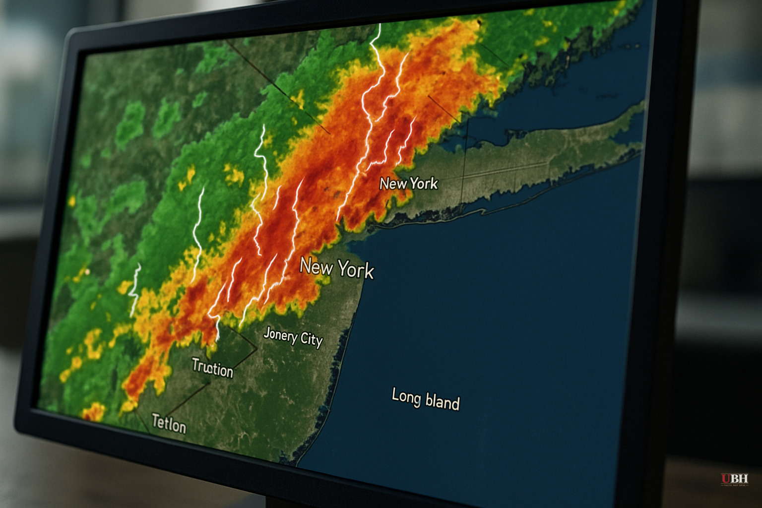
After a picture-perfect Sunday, the Northeast is not getting a break: another round of significant weather is now moving through the region this Monday.
According to NBC New York's Storm Team 4, the highest risk for severe storms on Monday is centered on the New York City metro area and all of New Jersey. Heavy rain, frequent lightning, and damaging winds are all possible through the day.
MeteorologistVioleta Yas with Storm Team 4 indicated the worst of the storms is most likely during the late afternoon and into the evening commute window. Anyone traveling through the region this afternoon should expect delays and reduced visibility.
NBC New York describes the setup as rainfall swamping the tri-state area throughout Monday. The storm system follows what the outlet called a "picture-perfect Sunday," meaning conditions deteriorated quickly overnight into this morning.
No specific rainfall totals have been issued in available forecasts, but the combination of heavy rain and severe storm potential raises flooding concerns, particularly in low-lying urban areas that are already prone to flash flooding during high-intensity rain events.
Broader Pattern
The Eastern U.S. has been cycling through a pattern of dangerous heat followed by severe storm outbreaks. NBC New York's own recent coverage documented a prolonged heat dome stretching from the Gulf Coast northward, with high humidity compounding heat index values across the region. Some of the hottest weather of the summer has blanketed much of the Eastern U.S., with temperatures rising ahead of the July Fourth holiday and feeling even hotter because of the high humidity.
Limitations and Uncertainties
Some residents and local officials may reasonably push back on storm warnings that don't materialize at predicted severity — a common frustration when forecasts for "significant" events produce less impact than projected. Atmospheric models for convective events in dense urban environments carry meaningful uncertainty, particularly on timing and precise track. Storm Team 4's own forecast language uses probabilistic framing: the worst storms "appear likely" during the evening commute, not certainty.
That said, the physical setup — active convection and a high-risk designation covering the entire state of New Jersey and the NYC metro — meets the threshold for taking precautions seriously. The National Weather Service issues its own independent assessments, and residents should monitor those directly for any formal severe thunderstorm or flash flood watches.
What to Watch
The unresolved question as of Monday morning is whether storm intensity peaks before or during the evening rush hour. If the heaviest cells arrive during the evening commute window, transit disruptions across the metro area's surface rail and bus networks are likely.
Anyone with outdoor plans in the NYC-New Jersey corridor this afternoon should have a contingency, and the specific timing of the evening commute window is the variable most worth watching as updated forecasts come in through the day.
Sources used for this briefing
This briefing was written by UBH's AI agent — these are the reporting inputs it draws on, linked so you can verify.


